Login

Забыл пароль?

Cookies have to be accepted!
Your browser's cookie functionality is disabled. Please enable this functionality.

Not a member yet?

Register now
Login

Available for registred users only

Log in to use this feature.

Забыл пароль?

Cookies have to be accepted!
Your browser's cookie functionality is disabled. Please enable this functionality.

Not a member yet?

Register now
Filter
Категории
Advanced filters
  • Длина (км)
  • Высотомер
Сохранить фильтр Reset filter

TrackRank

QRCode

Technical data

Длина10,6 km Высотомер268 m Way down263 m Длительность03:01 h:m Дата28.03.2020
Оценки Author User Ландшафт Веселье Кондиция Техника

Статистика

211 Виды 1 Оценка 15 Загрузки 5.00 Среднее
Rate
  • Формуляр маршрута
  • Дорога
  • Загрузки

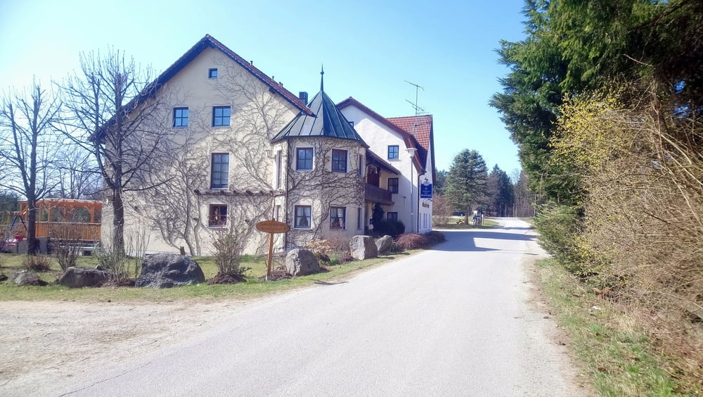
Von Saulburg auf dem Jägersteig zum Schiederhof.

Die Wanderung beginnt und endet am Parkplatz beim Friedhof. Auf stillen Wegen folgen wir immer der Markierung "Rot 11".

Галерея маршрутов

Карта маршрута и высотный профиль

  • Open Street Map
  • Google
Minimum height 439 m Maximum height 650 m Детальный вид

More about the tour author

ejee
Member since 2019

Send private message

Комментарии

GPS-Tracks

Trackpoints
  • GPX / Garmin Map Source (gpx) download
  • TCX / Garmin Training Center® (tcx) download
  • CRS / Garmin Training Center® (crs) download
  • Google Earth (kml) download
  • G7ToWin (g7t) download
  • TTQV (trk) download
  • Overlay (ovl) download
  • Fugawi (txt) download
  • Kompass (DAV) Track (tk) download
  • Формуляр маршрута (pdf) download
  • Original file of the author (gpx) download

More about the tour author

ejee
Member since 2019

Send private message
Share track
Add to my favorites
Remove from my favorites
Edit tags
My score
Rate
Маршрут: Von Saulburg zum Schiederhof
Вид: Пешеходный туризм
Длина: 10,6 km
Evaluated on:
Длительность:
Day(s)
Hour(s)
Minute(s)
Оценка: Ландшафт Веселье Кондиция Техника