Login

Забыл пароль?

Cookies have to be accepted!
Your browser's cookie functionality is disabled. Please enable this functionality.

Not a member yet?

Register now
Login

Available for registred users only

Log in to use this feature.

Забыл пароль?

Cookies have to be accepted!
Your browser's cookie functionality is disabled. Please enable this functionality.

Not a member yet?

Register now
Filter
Категории
Advanced filters
  • Длина (км)
  • Высотомер
Сохранить фильтр Reset filter

TrackRank

QRCode

Technical data

Длина10,0 km Высотомер265 m Way down265 m Длительность00:00 h:m Дата23.08.2020
Оценки Author Ландшафт Веселье Кондиция Техника

Статистика

150 Виды Оценки 2 Загрузки Среднее
Rate
  • Формуляр маршрута
  • Дорога
  • Загрузки
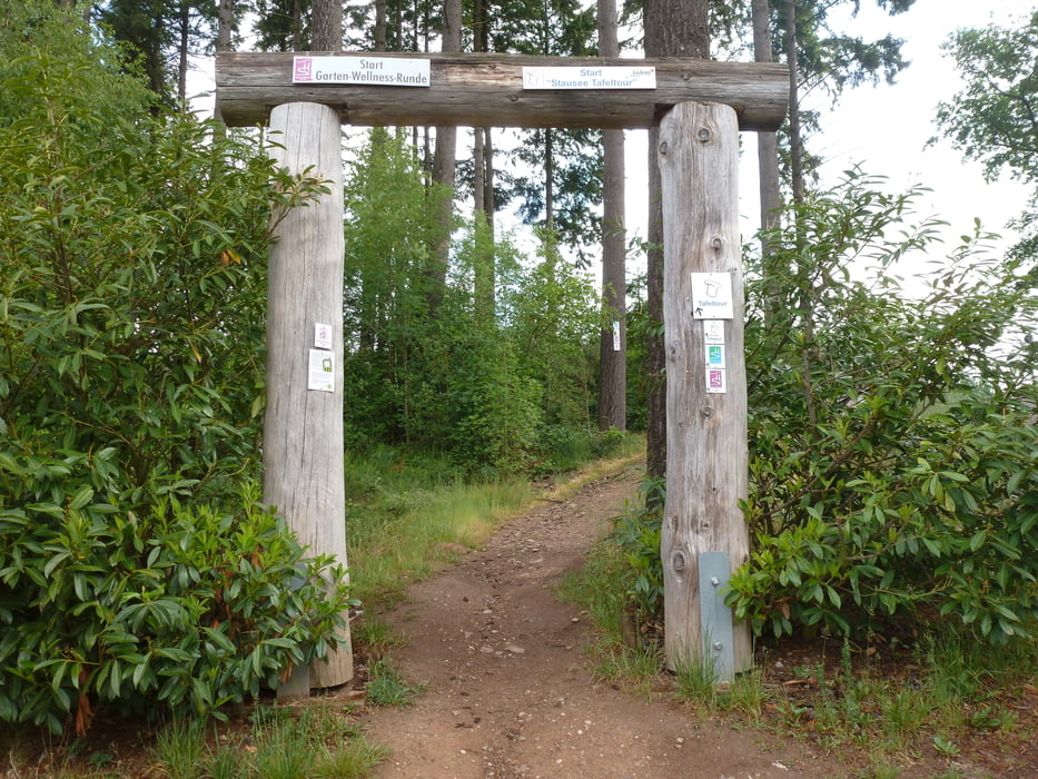
Mit „Tafeltour“ werden die Premiumwanderwege bezeichnet, die an der Strecke die ein oder andere empfehlenswerte gastronomische Adresse bieten. Wer also Wert auf einen Gaststättenaufenthalt nach der Wanderung legt, ist auch bei der "Stausee Tafeltour" bestens aufgehoben.

Галерея маршрутов

Карта маршрута и высотный профиль

  • Open Street Map
  • Google
Minimum height 310 m Maximum height 479 m Детальный вид

More about the tour author

Wanderkarin
Member since 2016

Send private message

Комментарии

GPS-Tracks

Trackpoints
  • GPX / Garmin Map Source (gpx) download
  • TCX / Garmin Training Center® (tcx) download
  • CRS / Garmin Training Center® (crs) download
  • Google Earth (kml) download
  • G7ToWin (g7t) download
  • TTQV (trk) download
  • Overlay (ovl) download
  • Fugawi (txt) download
  • Kompass (DAV) Track (tk) download
  • Формуляр маршрута (pdf) download
  • Original file of the author (gpx) download

More about the tour author

Wanderkarin
Member since 2016

Send private message
Share track
Add to my favorites
Remove from my favorites
Edit tags
My score
Rate
Маршрут: Losheim - Stausee Tafeltour
Вид: Пешеходный туризм
Длина: 10,0 km
Evaluated on:
Длительность:
Day(s)
Hour(s)
Minute(s)
Оценка: Ландшафт Веселье Кондиция Техника