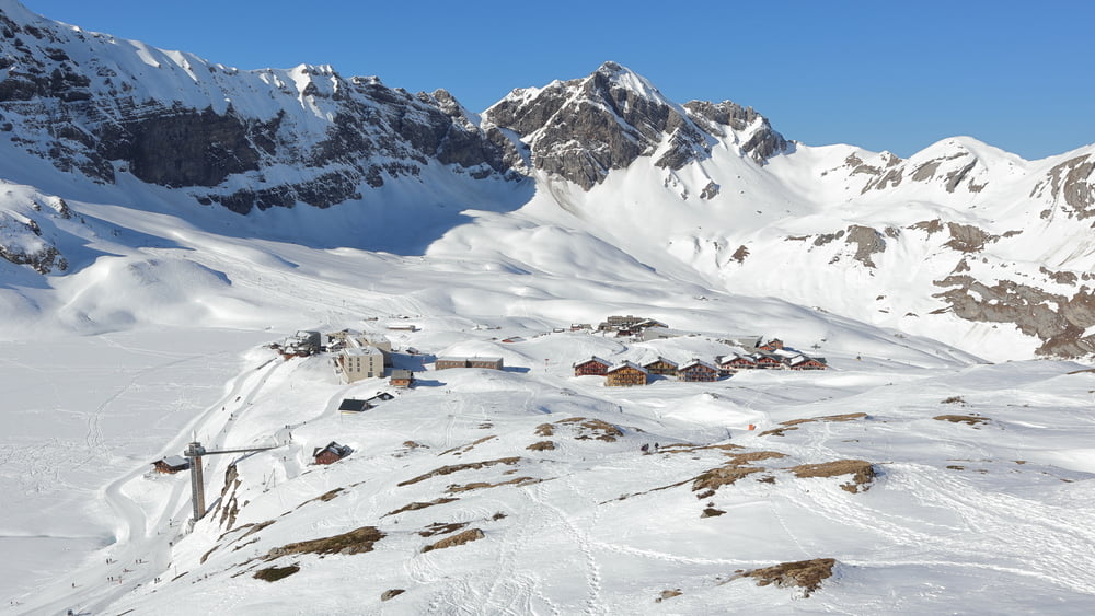
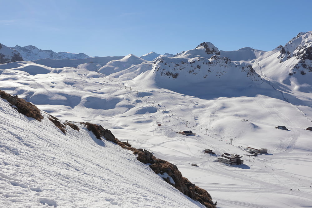
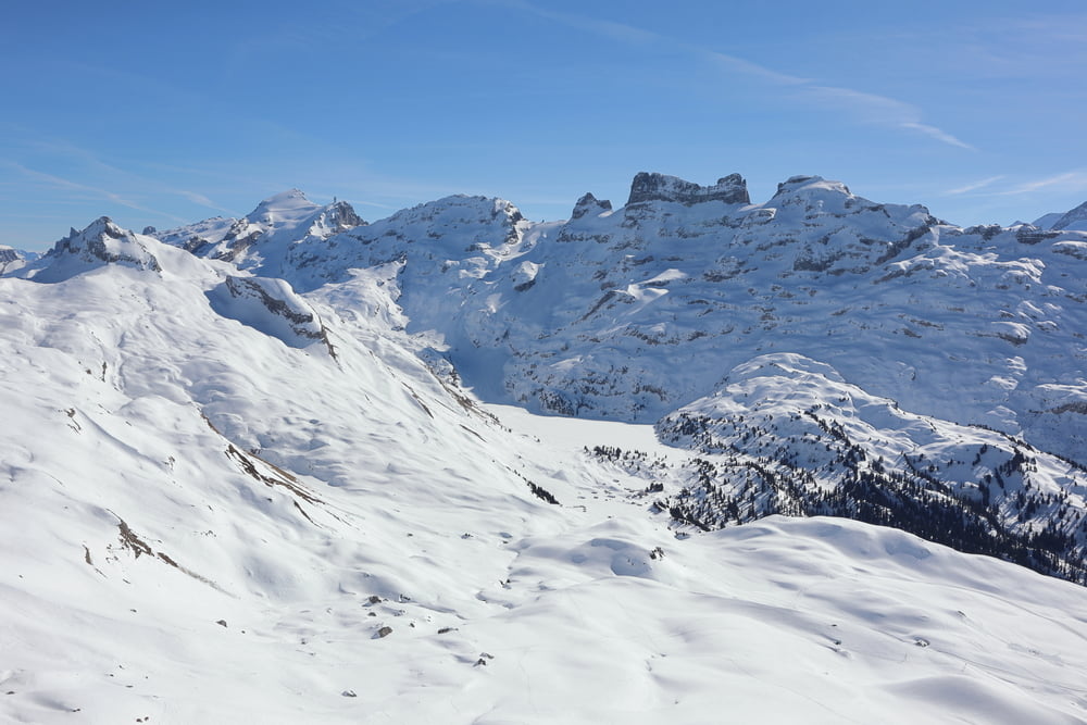
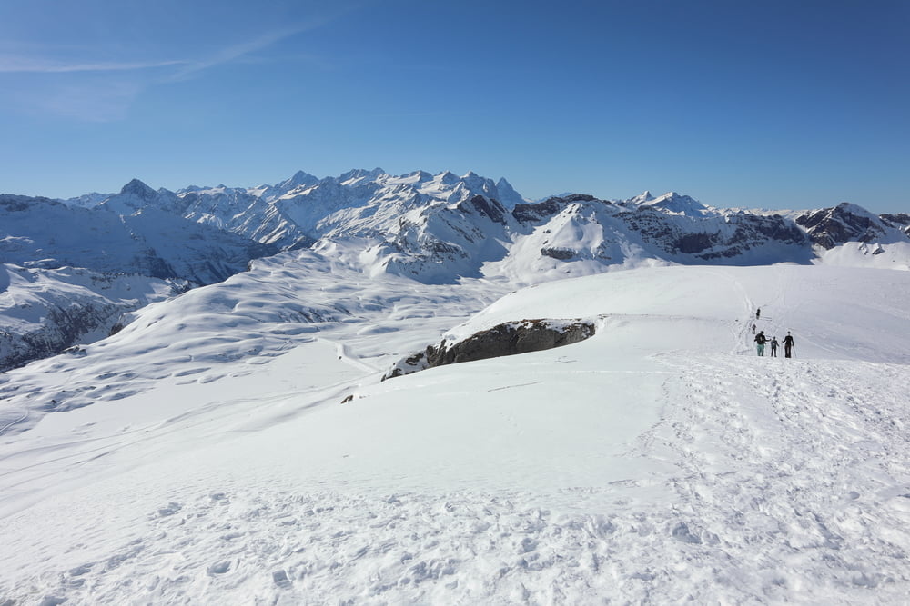
Login

Забыл пароль?

Cookies have to be accepted!
Your browser's cookie functionality is disabled. Please enable this functionality.

Not a member yet?

Register now
Login

Available for registred users only

Log in to use this feature.

Забыл пароль?

Cookies have to be accepted!
Your browser's cookie functionality is disabled. Please enable this functionality.

Not a member yet?

Register now
Filter
Категории
Advanced filters
  • Длина (км)
  • Высотомер
Сохранить фильтр Reset filter

TrackRank

QRCode

Technical data

Длина11,1 km Высотомер731 m Way down568 m Длительность04:00 h:m Дата24.02.2019
Оценки Author Ландшафт Веселье Кондиция Техника

Статистика

305 Виды Оценки 7 Загрузки Среднее
Rate
  • Формуляр маршрута
  • Дорога
  • Загрузки

Галерея маршрутов

Карта маршрута и высотный профиль

  • Open Street Map
  • Google
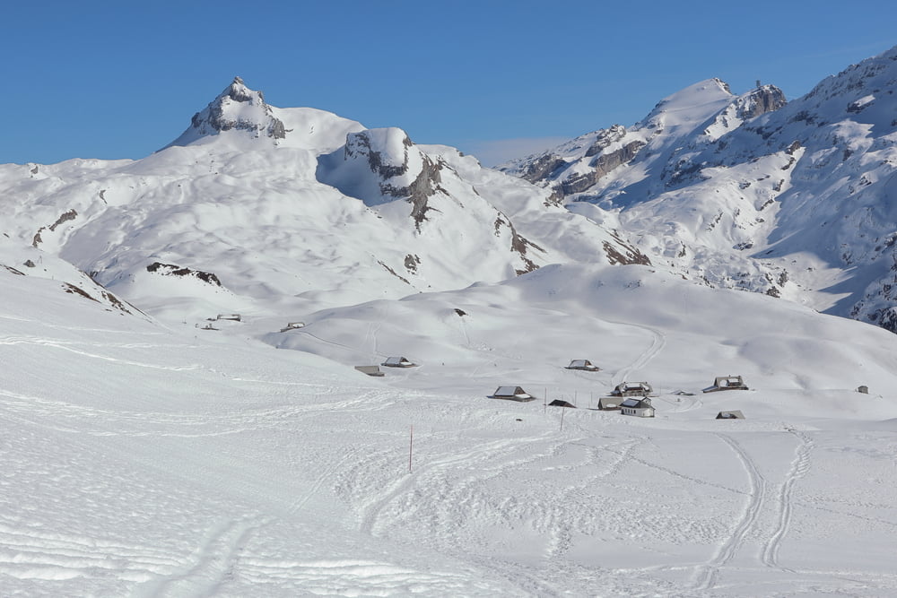
Minimum height 1745 m Maximum height 2436 m Детальный вид

More about the tour author

s-braeutigam
Member since 2009

Send private message

Комментарии

GPS-Tracks

Trackpoints
  • GPX / Garmin Map Source (gpx) download
  • TCX / Garmin Training Center® (tcx) download
  • CRS / Garmin Training Center® (crs) download
  • Google Earth (kml) download
  • G7ToWin (g7t) download
  • TTQV (trk) download
  • Overlay (ovl) download
  • Fugawi (txt) download
  • Kompass (DAV) Track (tk) download
  • Формуляр маршрута (pdf) download
  • Original file of the author (gpx) download

More about the tour author

s-braeutigam
Member since 2009

Send private message
Share track
Add to my favorites
Remove from my favorites
Edit tags
My score
Rate
Маршрут: bei Melchsee-Frutt, zum Hohmad
Вид: Лыжная доска
Длина: 11,1 km
Evaluated on:
Длительность:
Day(s)
Hour(s)
Minute(s)
Оценка: Ландшафт Веселье Кондиция Техника