Login

Забыл пароль?

Cookies have to be accepted!
Your browser's cookie functionality is disabled. Please enable this functionality.

Not a member yet?

Register now
Login

Available for registred users only

Log in to use this feature.

Забыл пароль?

Cookies have to be accepted!
Your browser's cookie functionality is disabled. Please enable this functionality.

Not a member yet?

Register now
Filter
Категории
Advanced filters
  • Длина (км)
  • Высотомер
Сохранить фильтр Reset filter

TrackRank

QRCode

Technical data

Длина16,9 km Высотомер147 m Way down148 m Длительность04:00 h:m Дата20.05.2021
Оценки Author Ландшафт Веселье Кондиция Техника

Статистика

190 Виды Оценки 3 Загрузки Среднее
Rate
  • Формуляр маршрута
  • Дорога
  • Загрузки
 

Nordic Walking Tour 40S

Ab Wanderparkplatz Hof Tütsberg

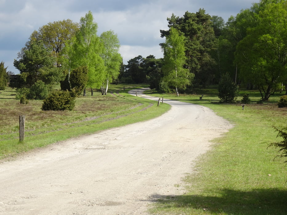
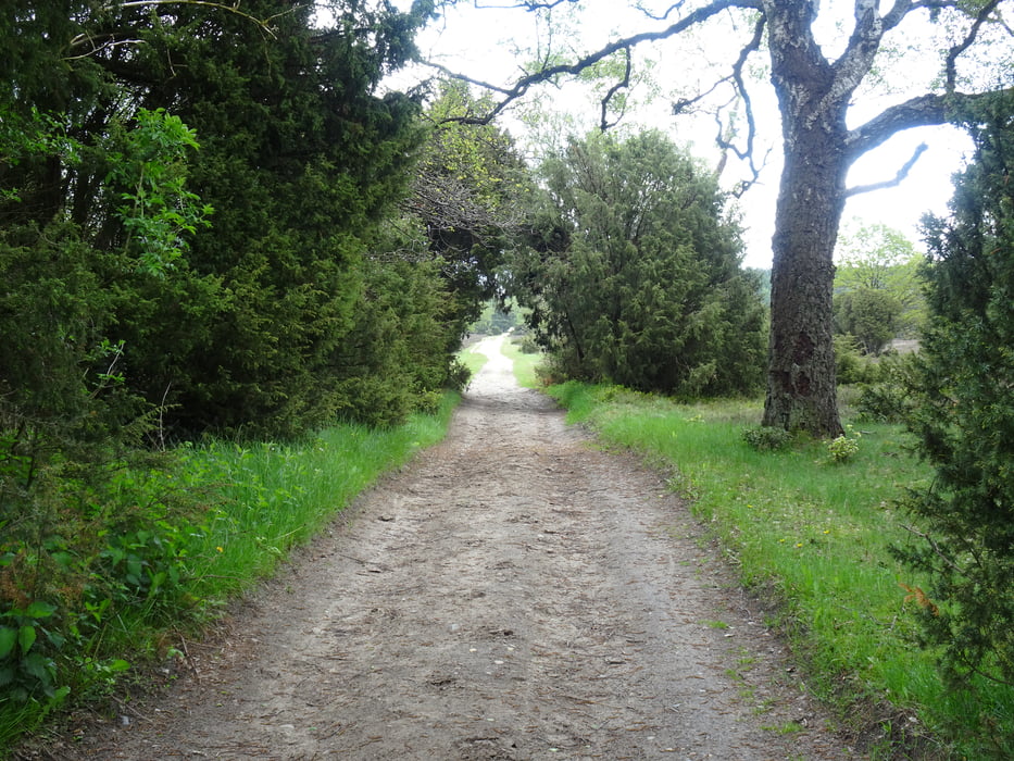
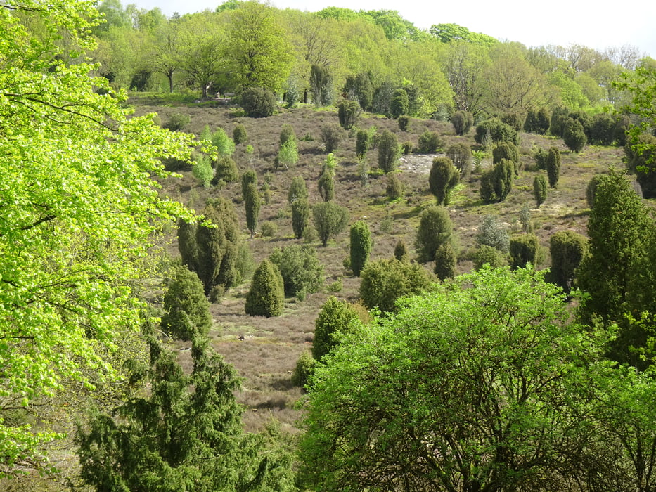
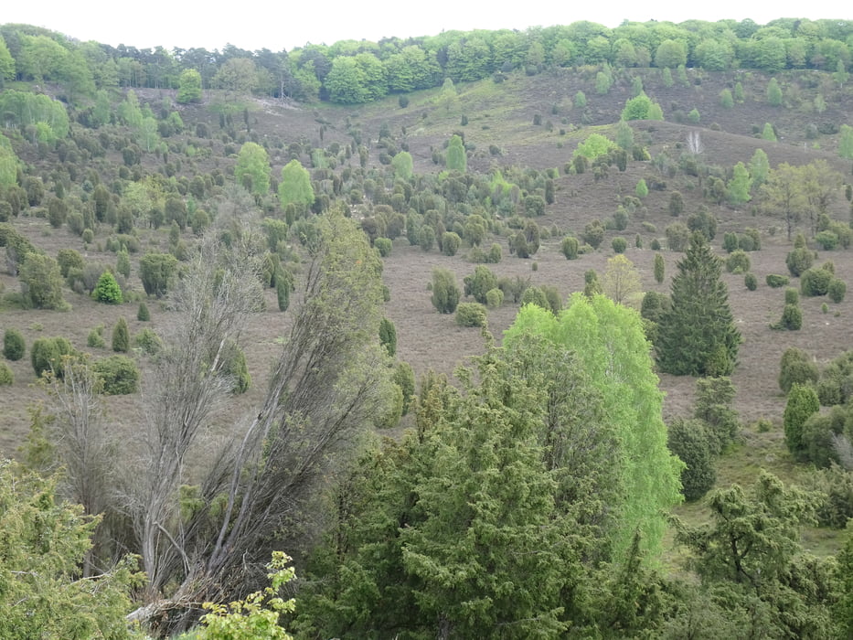
Gut ausgeschilderte Wege. Schöner Ausblick über die Heidelandschaft  "Totengrund". Lässt sich gut laufen.


Галерея маршрутов

Карта маршрута и высотный профиль

  • Open Street Map
  • Google
Minimum height 81 m Maximum height 143 m Детальный вид

More about the tour author

Blaubart126
Member since 2013

Send private message

Комментарии

Parkplatz 29640 Schneverdingen, Hof Tütsberg

GPS-Tracks

Trackpoints
  • GPX / Garmin Map Source (gpx) download
  • TCX / Garmin Training Center® (tcx) download
  • CRS / Garmin Training Center® (crs) download
  • Google Earth (kml) download
  • G7ToWin (g7t) download
  • TTQV (trk) download
  • Overlay (ovl) download
  • Fugawi (txt) download
  • Kompass (DAV) Track (tk) download
  • Формуляр маршрута (pdf) download
  • Original file of the author (gpx) download

More about the tour author

Blaubart126
Member since 2013

Send private message
Share track
Add to my favorites
Remove from my favorites
Edit tags
My score
Rate
Маршрут: Tütsberg 40S
Вид: Nordic Walking
Длина: 16,9 km
Evaluated on:
Длительность:
Day(s)
Hour(s)
Minute(s)
Оценка: Ландшафт Веселье Кондиция Техника