Login

Забыл пароль?

Cookies have to be accepted!
Your browser's cookie functionality is disabled. Please enable this functionality.

Not a member yet?

Register now
Login

Available for registred users only

Log in to use this feature.

Забыл пароль?

Cookies have to be accepted!
Your browser's cookie functionality is disabled. Please enable this functionality.

Not a member yet?

Register now
Filter
Категории
Advanced filters
  • Длина (км)
  • Высотомер
Сохранить фильтр Reset filter

TrackRank

QRCode

Technical data

Длина72,1 km Высотомер298 m Way down301 m Длительность04:40 h:m Дата17.04.2022
Оценки Author Ландшафт Веселье Кондиция Техника

Статистика

130 Виды Оценки 1 Загрузка Среднее
Rate
  • Формуляр маршрута
  • Дорога
  • Загрузки
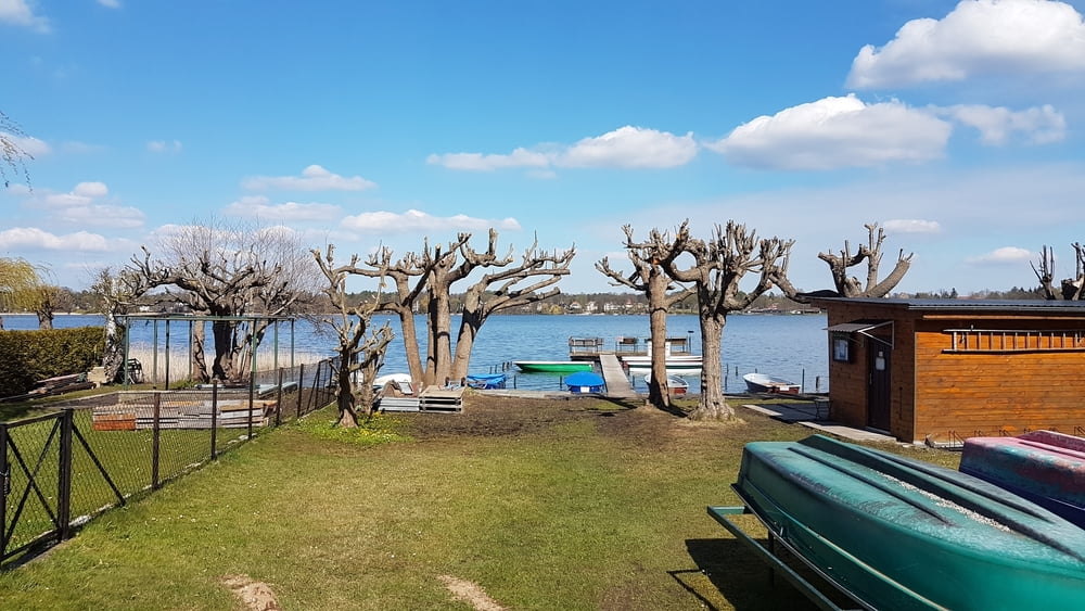
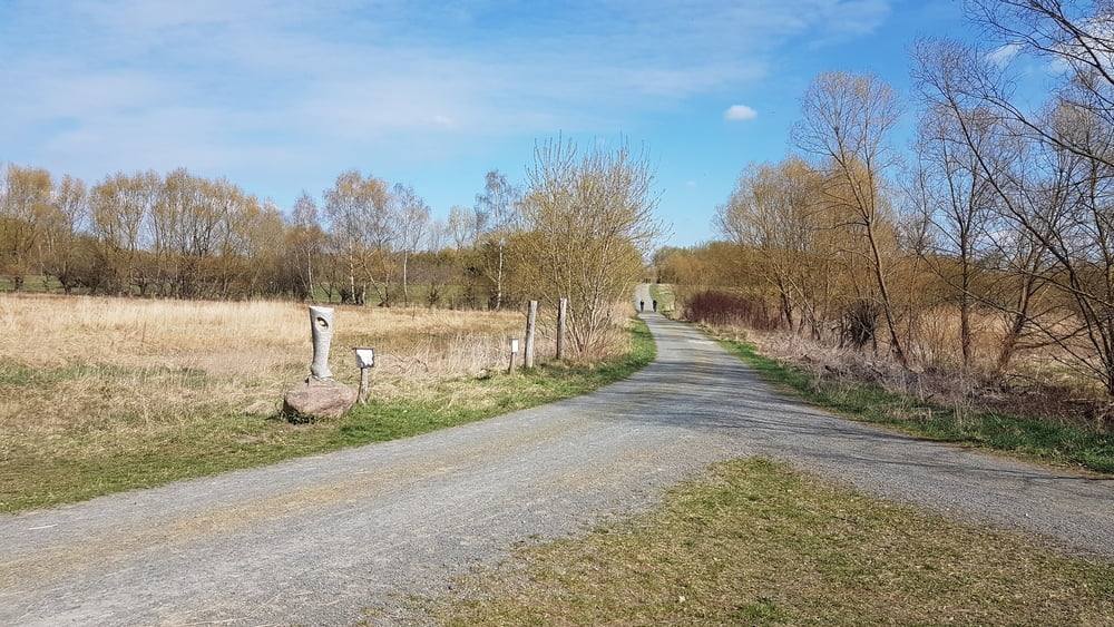
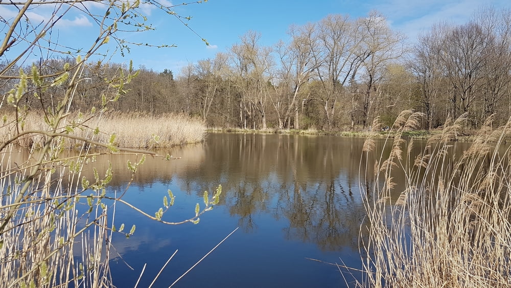
Rundtour in den Norden Berlins bis zum Wandlitzer See und zurück.

Further information at

https://de.wikipedia.org/wiki/Wandlitzer_See

Галерея маршрутов

Карта маршрута и высотный профиль

  • Open Street Map
  • Google
Minimum height 33 m Maximum height 84 m Детальный вид

Комментарии

Berlin Lichtenberg

GPS-Tracks

Trackpoints
  • GPX / Garmin Map Source (gpx) download
  • TCX / Garmin Training Center® (tcx) download
  • CRS / Garmin Training Center® (crs) download
  • Google Earth (kml) download
  • G7ToWin (g7t) download
  • TTQV (trk) download
  • Overlay (ovl) download
  • Fugawi (txt) download
  • Kompass (DAV) Track (tk) download
  • Формуляр маршрута (pdf) download
  • Original file of the author (gpx) download
Share track
Add to my favorites
Remove from my favorites
Edit tags
My score
Rate
Маршрут: Lichtenberg - Wandlitzer See *** Berlin
Вид: Трековый велосипед
Длина: 72,1 km
Evaluated on:
Длительность:
Day(s)
Hour(s)
Minute(s)
Оценка: Ландшафт Веселье Кондиция Техника