


Wanderung von Viechtach entlang dem Naturdenkmal Großer Pfahl, weiter durch das Liebestal zur Schnitzmühle.
Hinweise: Leichte Wandertour. An-/Abreise mit der Waldbahn
Start: Bahnhof Viechtach
Ziel: Haltestation Schnitzmühle
Markierung: „Pfahl-Steig“, Pandurensteig, Markierung rote 5
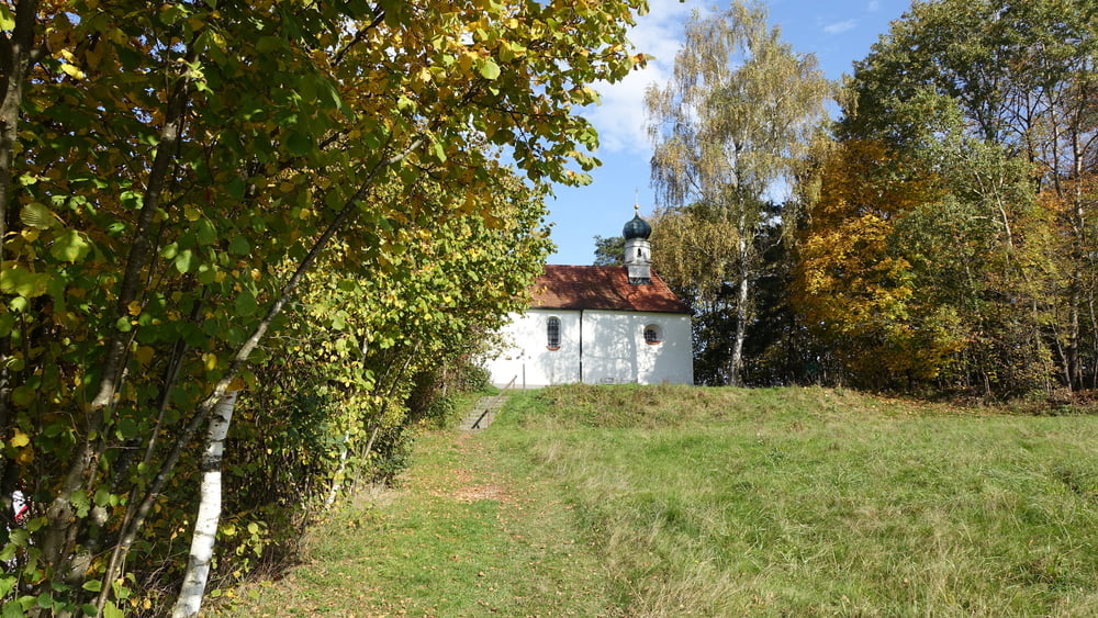
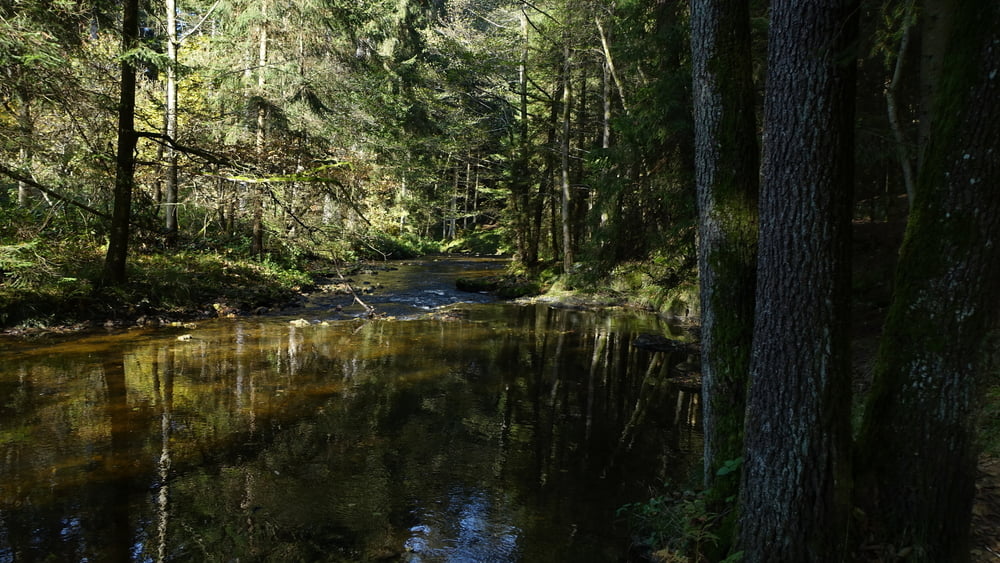
Route: Bahnhof Viechtach – Großer Pfahl (Pandurensteig) – Antonikirchlein – Liebestal – Schnitzmühle
Einkehrmöglichkeit: Schnitzmühle
POI: Großer Pfahl, Antonikirchlein, Liebestal
Галерея маршрутов


Карта маршрута и высотный профиль
Minimum height 406 m
Maximum height 549 m
More about the tour author

|
ejee |
Комментарии

GPS-Tracks
Trackpoints-
GPX / Garmin Map Source (gpx) download
-
TCX / Garmin Training Center® (tcx) download
-
CRS / Garmin Training Center® (crs) download
-
Google Earth (kml) download
-
G7ToWin (g7t) download
-
TTQV (trk) download
-
Overlay (ovl) download
-
Fugawi (txt) download
-
Kompass (DAV) Track (tk) download
-
Формуляр маршрута (pdf) download
-
Original file of the author (gpx) download
More about the tour author
|
|
ejee |
Add to my favorites
Remove from my favorites
Edit tags
Open track
My score
Rate