
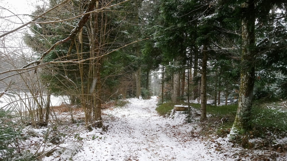

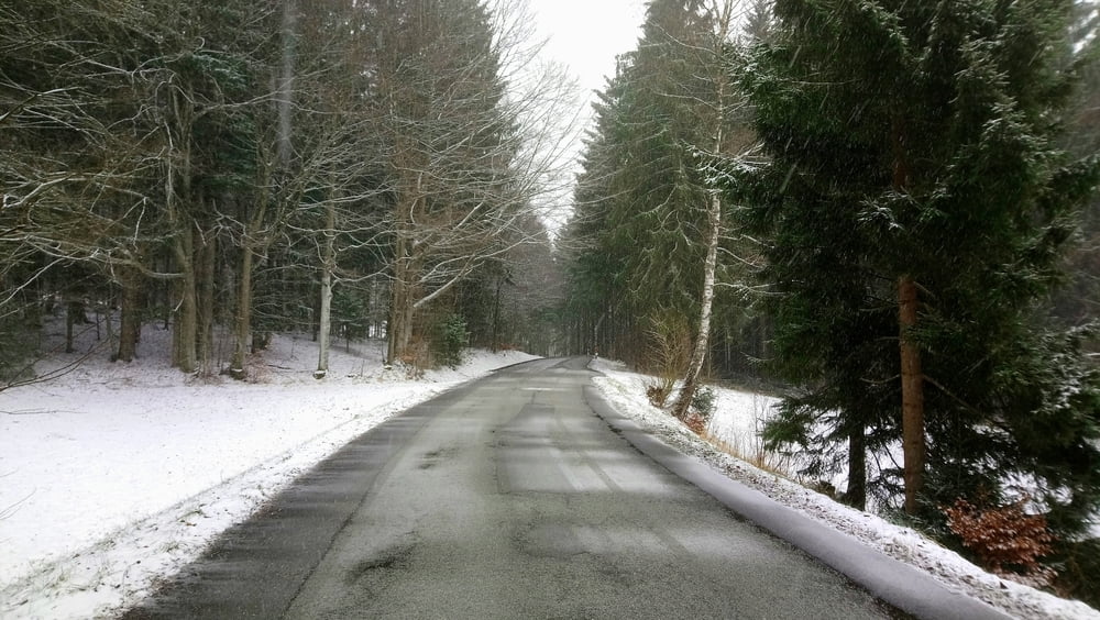
Rundwanderung auf winterlichen Wegen von der Wegmacherkurve nach Greising.
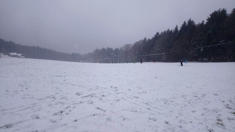
Hinweise: Leichte Sonntagsnachmittagswandertour. Der erste Teil der Tour findet auf überwiegend Forst- und Waldwegen statt, ab Parkplatz Schellenberg bis zum Ziel auf Nebenstraßen.
Start/Ziel: Parkplatz an der Wegmacherkurve
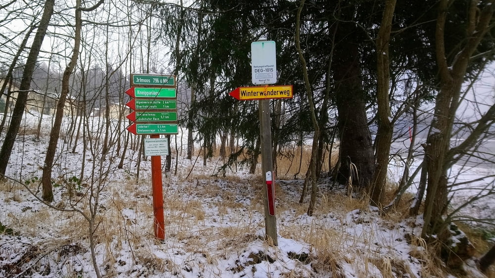
Markierung: „Böhmweg“, „Winterwanderweg“, Abschnitte ohne Markierung
Route: Parkplatz an der Wegmacherkurve – Parkplatz Oberfrohnreut – Wanderparkplatz Schellenberg – Greising – Frohnreut – Parkplatz an der Wegmacherkurve
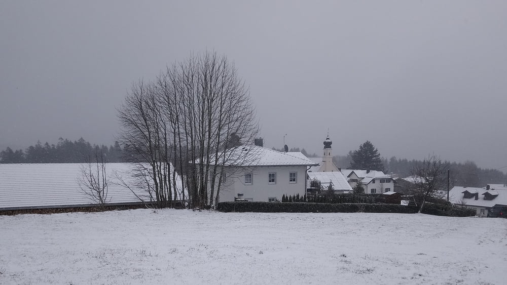
Einkehrmöglichkeit: Greising
POI: Barockkirche und Wallfahrtskapelle in Greising
Bitte beachten:
Diese Tour ist zum Benutzen für GPS-Geräte gedacht. Die Wegbeschreibung (Route) stellt nur einen groben Überblick über die Tour zum Zeitpunkt der Tourerstellung dar. Ohne GPS-Gerät ist der Streckenverlauf oftmals schwierig zu finden. Wegegebote und behördliche Einschränkungen sind eigenverantwortlich zu beachten.
Галерея маршрутов
Карта маршрута и высотный профиль
Minimum height 734 m
Maximum height 866 m
More about the tour author

|
ejee |
Комментарии

GPS-Tracks
Trackpoints-
GPX / Garmin Map Source (gpx) download
-
TCX / Garmin Training Center® (tcx) download
-
CRS / Garmin Training Center® (crs) download
-
Google Earth (kml) download
-
G7ToWin (g7t) download
-
TTQV (trk) download
-
Overlay (ovl) download
-
Fugawi (txt) download
-
Kompass (DAV) Track (tk) download
-
Формуляр маршрута (pdf) download
-
Original file of the author (gpx) download
More about the tour author
|
|
ejee |
Add to my favorites
Remove from my favorites
Edit tags
Open track
My score
Rate