Login

Забыл пароль?

Cookies have to be accepted!
Your browser's cookie functionality is disabled. Please enable this functionality.

Not a member yet?

Register now
Login

Available for registred users only

Log in to use this feature.

Забыл пароль?

Cookies have to be accepted!
Your browser's cookie functionality is disabled. Please enable this functionality.

Not a member yet?

Register now
Filter
Категории
Advanced filters
  • Длина (км)
  • Высотомер
Сохранить фильтр Reset filter

TrackRank

QRCode

Technical data

Длина69,9 km Высотомер682 m Way down669 m Длительность02:45 h:m Дата27.05.2023
Оценки Author Ландшафт Веселье Кондиция Техника

Статистика

341 Виды Оценки 1 Загрузка Среднее
Rate
  • Формуляр маршрута
  • Дорога
  • Загрузки

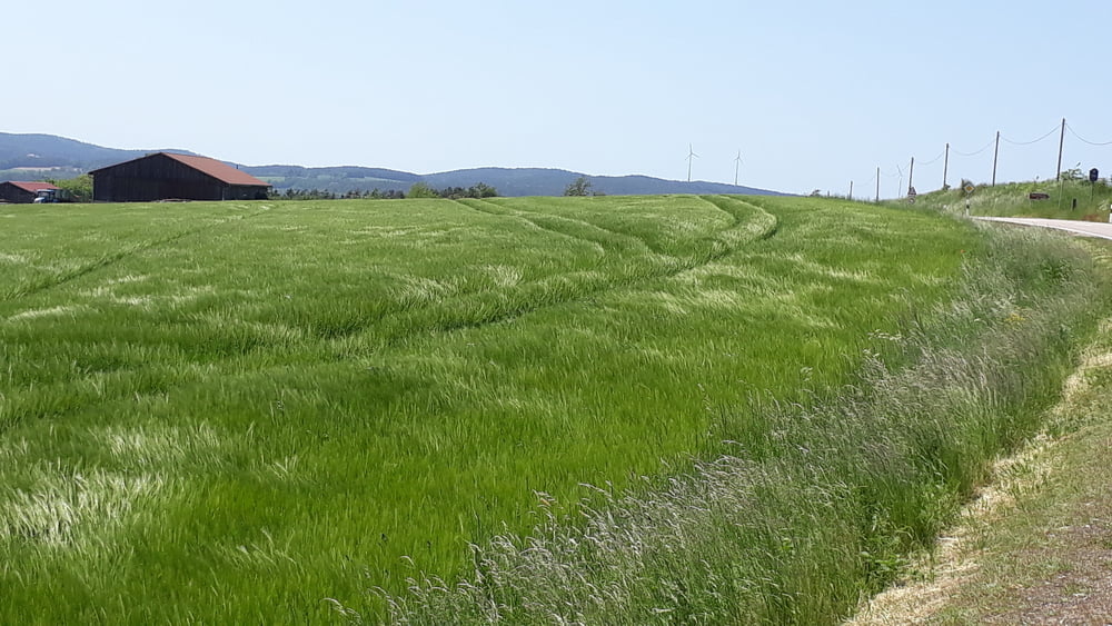
Auf meist kleinen Straßen ab Weiherhammer entlang der Naab Richtung Pfreimd, dann über die Bergetappe Oklahoma-Pass, Schnaittenbach, Kohlberg und Röthenbach zurück.

Zwischen Holzhammer und Schnaittenbach kleine Asphaltstraße mit doch ein paar Steinen, man kann auch die ungemütlicherer B 14 nehmen.

Галерея маршрутов

Карта маршрута и высотный профиль

  • Open Street Map
  • Google
Minimum height 383 m Maximum height 576 m Детальный вид

More about the tour author

schmidt-nehls
Member since 2013

Send private message

Комментарии

Man kann in Weiherhammer am Hammerweiher starten, ansonsten überall Einstieg möglich.

GPS-Tracks

Trackpoints
  • GPX / Garmin Map Source (gpx) download
  • TCX / Garmin Training Center® (tcx) download
  • CRS / Garmin Training Center® (crs) download
  • Google Earth (kml) download
  • G7ToWin (g7t) download
  • TTQV (trk) download
  • Overlay (ovl) download
  • Fugawi (txt) download
  • Kompass (DAV) Track (tk) download
  • Формуляр маршрута (pdf) download
  • Original file of the author (gpx) download

More about the tour author

schmidt-nehls
Member since 2013

Send private message
Share track
Add to my favorites
Remove from my favorites
Edit tags
My score
Rate
Маршрут: Weiherhammer - Oklahoma-Pass - Schnaittenbach
Вид: Гоночный велосипед
Длина: 69,9 km
Evaluated on:
Длительность:
Day(s)
Hour(s)
Minute(s)
Оценка: Ландшафт Веселье Кондиция Техника