Login

Забыл пароль?

Cookies have to be accepted!
Your browser's cookie functionality is disabled. Please enable this functionality.

Not a member yet?

Register now
Login

Available for registred users only

Log in to use this feature.

Забыл пароль?

Cookies have to be accepted!
Your browser's cookie functionality is disabled. Please enable this functionality.

Not a member yet?

Register now
Filter
Категории
Advanced filters
  • Длина (км)
  • Высотомер
Сохранить фильтр Reset filter

TrackRank

QRCode

Technical data

Длина56,8 km Высотомер1247 m Way down1143 m Длительность04:35 h:m Дата11.09.2023
Оценки Author Ландшафт Веселье Кондиция Техника

Статистика

356 Виды Оценки 8 Загрузки Среднее
Rate
  • Формуляр маршрута
  • Дорога
  • Загрузки
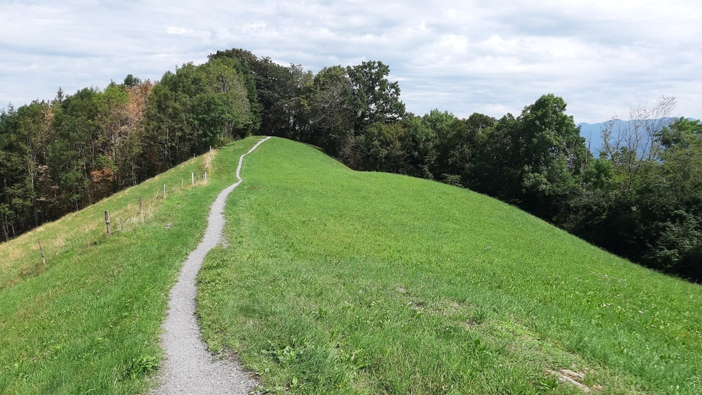
Schöne Frühjahrsrunde im Hochsommer: maximale Höhe ca. 1100m. Einige trails haben es in sich, besonders von St. Anton runter.

Галерея маршрутов

Карта маршрута и высотный профиль

  • Open Street Map
  • Google
Minimum height 362 m Maximum height 1127 m Детальный вид

More about the tour author

mitter
Member since 2008

Send private message

Комментарии

Start in Koblach.

GPS-Tracks

Trackpoints
  • GPX / Garmin Map Source (gpx) download
  • TCX / Garmin Training Center® (tcx) download
  • CRS / Garmin Training Center® (crs) download
  • Google Earth (kml) download
  • G7ToWin (g7t) download
  • TTQV (trk) download
  • Overlay (ovl) download
  • Fugawi (txt) download
  • Kompass (DAV) Track (tk) download
  • Формуляр маршрута (pdf) download
  • Original file of the author (gpx) download

More about the tour author

mitter
Member since 2008

Send private message
Share track
Add to my favorites
Remove from my favorites
Edit tags
My score
Rate
Маршрут: Panoramabike 230731
Вид: Горный велосипед
Длина: 56,8 km
Evaluated on:
Длительность:
Day(s)
Hour(s)
Minute(s)
Оценка: Ландшафт Веселье Кондиция Техника