

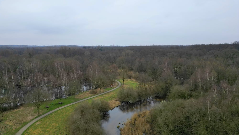
Een mooie wandeling door het natuurgebied van de Dilborner Benden.
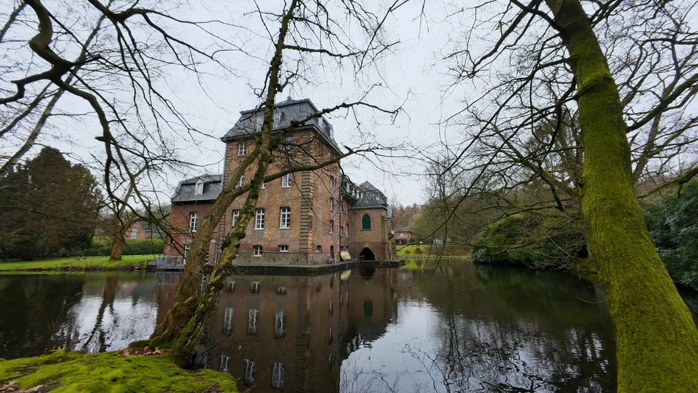
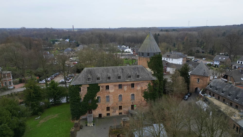
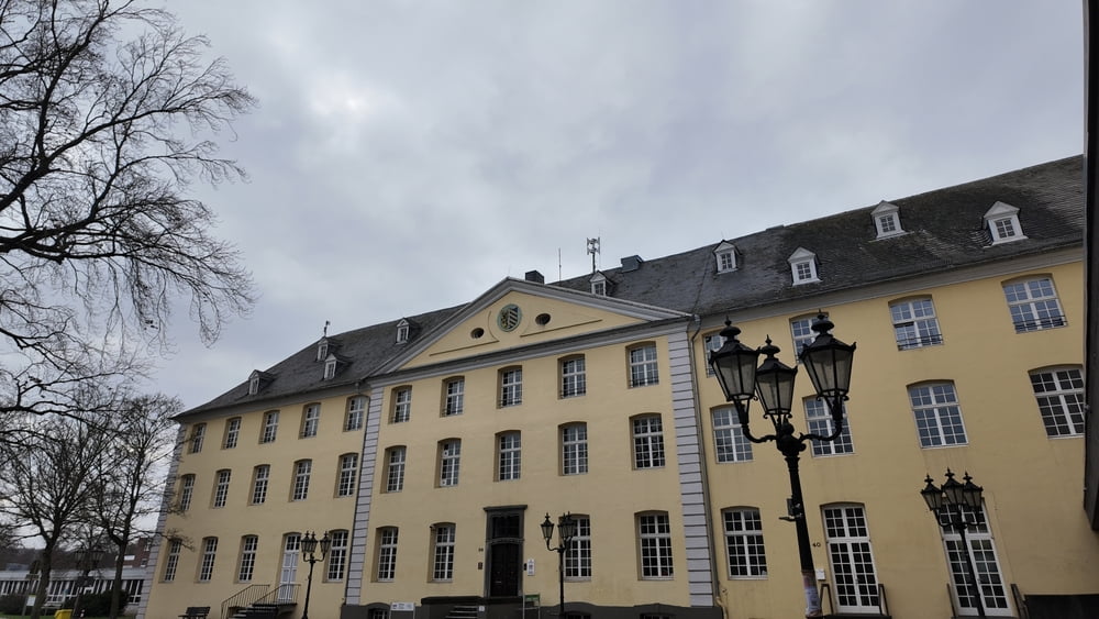
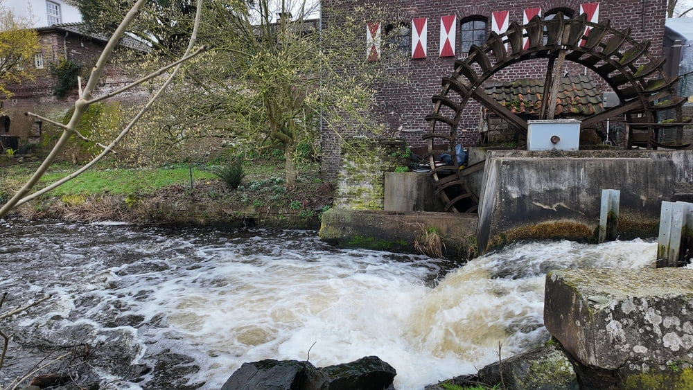
Neem onderweg even de tijd om eens rond te kijken aan Schloss Dilborn en vergeet het centrum van Brüggen niet.
In Overhetfeld en Brüggen is er horecagelegenheid.
Neem onderweg even de tijd om eens rond te kijken aan Schloss Dilborn en vergeet het centrum van Brüggen niet.
In Overhetfeld en Brüggen is er horecagelegenheid.
Галерея маршрутов
Карта маршрута и высотный профиль
Minimum height 20 m
Maximum height 63 m

Комментарии

GPS-Tracks
Trackpoints-
GPX / Garmin Map Source (gpx) download
-
TCX / Garmin Training Center® (tcx) download
-
CRS / Garmin Training Center® (crs) download
-
Google Earth (kml) download
-
G7ToWin (g7t) download
-
TTQV (trk) download
-
Overlay (ovl) download
-
Fugawi (txt) download
-
Kompass (DAV) Track (tk) download
-
Формуляр маршрута (pdf) download
-
Original file of the author (gpx) download
Add to my favorites
Remove from my favorites
Edit tags
Open track
My score
Rate