

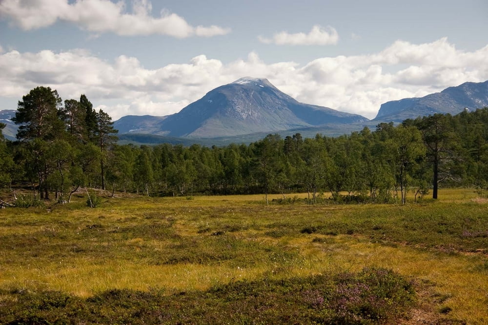

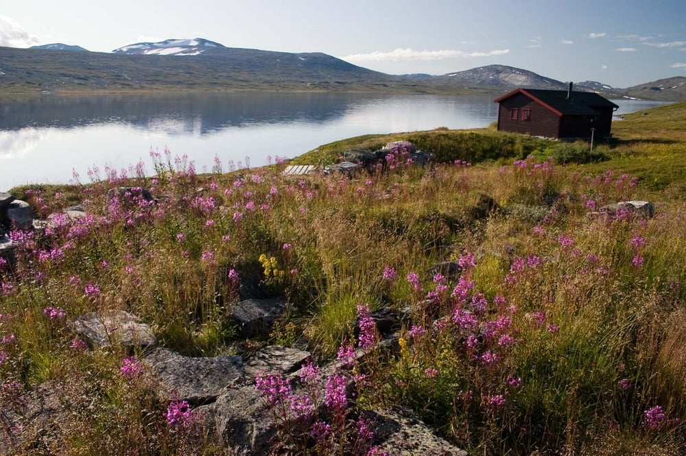
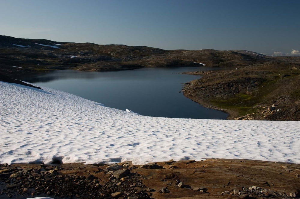
In first week of our stay in Norway we have visited two national parks: NP Savrtisen and NP Junkerdal. It is amazing area with just a few people there. We walked on touristic marked paths. There are many huts spread out over NP. These huts belongs to Norway's touristic organization and many of them are closed, so if you want to sleep there you must lend a key. Every hut is well equipped by chopped wood for heating and with gas bottle and cooker for preparing food. There are a lot of dishes and all you need for cooking. There are of course some beds, its number depends on size of the hut. Typical hut is intended for 3-5 people.
We have approximately half of time good partly cloudy weather with temperatures between 15-20 degrees during day and little bit lower in the night. Second half of our time weather was rather cloudy with rain with temperatures little bit above freeze level.
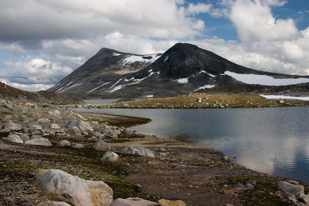
There are many lakes, streams and rivers in these areas, so it is no needed to carry much water.
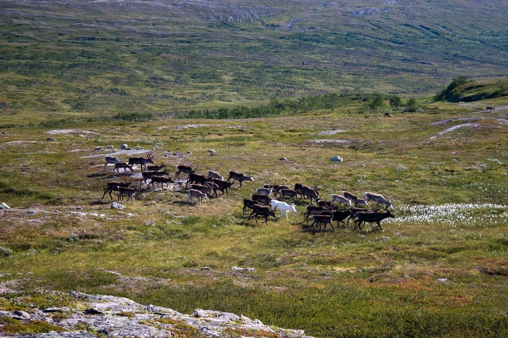
A lot of reindeers are living around here and if you have fortune you will see some different species of wild animals.
You can camping there in a tent without any problems. By Norway's laws you are permitted to set up a tent everywhere in the country further than 150 meters from dwelling.
Further information at
http://www.ms.mff.cuni.cz/~jhum8111/hory/norsko_2009/norsko_2009.htmlГалерея маршрутов
Карта маршрута и высотный профиль
Minimum height 167 m
Maximum height 1107 m
More about the tour author

|
jhum8111 |
Комментарии

More about the tour author
|
|
jhum8111 |
Add to my favorites
Remove from my favorites
Edit tags
Open track


My score
Rate