Login

Забыл пароль?

Cookies have to be accepted!
Your browser's cookie functionality is disabled. Please enable this functionality.

Not a member yet?

Register now
Login

Available for registred users only

Log in to use this feature.

Забыл пароль?

Cookies have to be accepted!
Your browser's cookie functionality is disabled. Please enable this functionality.

Not a member yet?

Register now
Filter
Категории
Advanced filters
  • Длина (км)
  • Высотомер
Сохранить фильтр Reset filter

TrackRank

QRCode

Technical data

Длина12,3 km Высотомер0 m Way down1761 m Длительность03:30 h:m Дата07.07.2010
Оценки Author Ландшафт Веселье Кондиция Техника

Статистика

584 Виды Оценки 111 Загрузки Среднее
Rate
  • Формуляр маршрута
  • Дорога
  • Загрузки

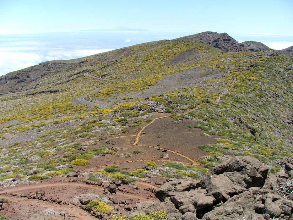
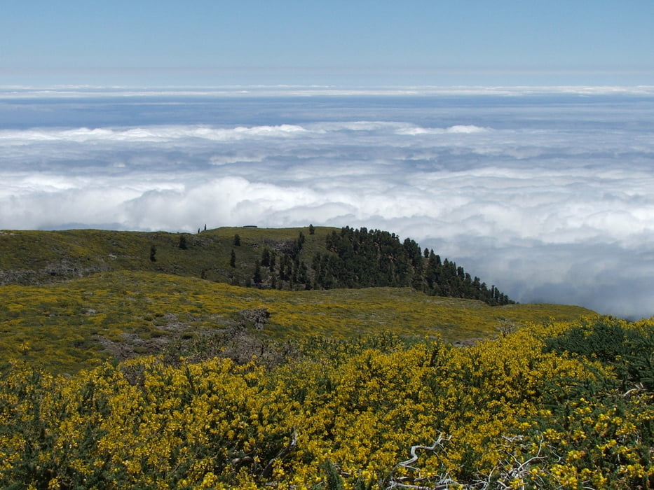
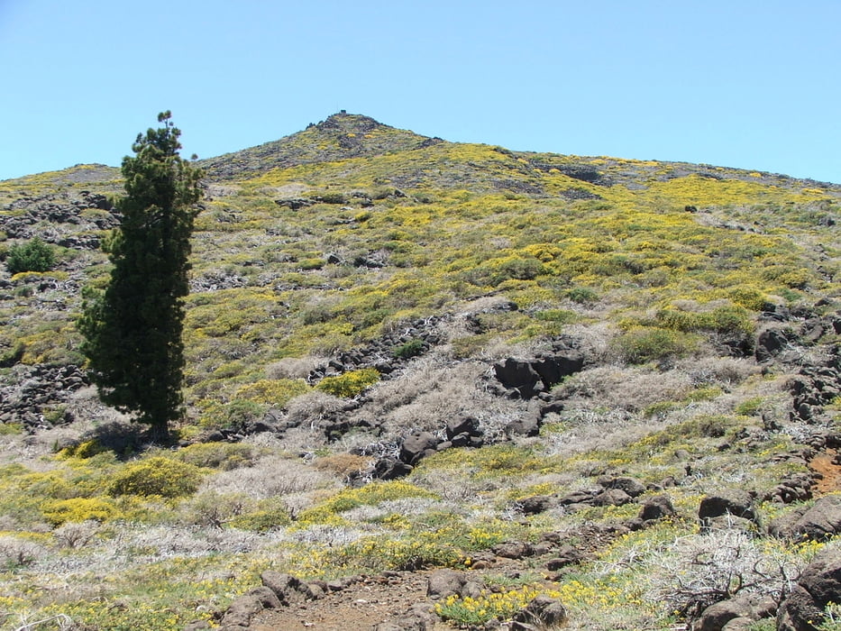
Wegverlauf: Vom Pico de la Cruz auf dem Wanderweg PR LP 8 nach Barlovento.


Галерея маршрутов

Карта маршрута и высотный профиль

  • Open Street Map
  • Google
Minimum height 599 m Maximum height 2360 m Детальный вид

More about the tour author

lothardomnik
Member since 2009

Send private message

Комментарии

Zum Startpunkt der Wanderung mit Taxi (36,50 Euro von Santa Cruz), vom Endpunkt mit Buslinie 2 nach Santa Cruz (montags bis freitags stündlich, samstags und sonntags alle zwei Stunden).

GPS-Tracks

Trackpoints
  • GPX / Garmin Map Source (gpx) download
  • TCX / Garmin Training Center® (tcx) download
  • CRS / Garmin Training Center® (crs) download
  • Google Earth (kml) download
  • G7ToWin (g7t) download
  • TTQV (trk) download
  • Overlay (ovl) download
  • Fugawi (txt) download
  • Kompass (DAV) Track (tk) download
  • Формуляр маршрута (pdf) download
  • Original file of the author (gpx) download

More about the tour author

lothardomnik
Member since 2009

Send private message
Share track
Add to my favorites
Remove from my favorites
Edit tags
My score
Rate
Маршрут: La Palma: Pico de la Cruz - Barlovento
Вид: Горный маршрут
Длина: 12,3 km
Evaluated on:
Длительность:
Day(s)
Hour(s)
Minute(s)
Оценка: Ландшафт Веселье Кондиция Техника