
Login

Забыл пароль?

Cookies have to be accepted!
Your browser's cookie functionality is disabled. Please enable this functionality.

Not a member yet?

Register now
Login

Available for registred users only

Log in to use this feature.

Забыл пароль?

Cookies have to be accepted!
Your browser's cookie functionality is disabled. Please enable this functionality.

Not a member yet?

Register now
Filter
Категории
Advanced filters
  • Длина (км)
  • Высотомер
Сохранить фильтр Reset filter

TrackRank

QRCode

Technical data

Длина7,1 km Высотомер280 m Way down224 m Длительность03:17 h:m Дата28.08.2011
Оценки Author Ландшафт Веселье Кондиция Техника

Статистика

570 Виды Оценки 19 Загрузки Среднее
Rate
  • Формуляр маршрута
  • Дорога
  • Загрузки

Date: July 29, 2011

Start:1940 m (Lindlerkasa)
Finish: 1890 m (Lindlerkasa)

Highest point: 2033 m (Mohar)
Lowest point: 1840 m (Astner Moos)

Total ascent: 350 m
Total descent: 350 m


**************************
Do not take anything, do not leave anything!
**************************
Please, do NOT leave trash behind. Paper tissues are also trash! Chocolate wrap as well. Bring a small trash bag with you and take your trash with yourself to the next trash can. It is not that heavy.
**************************


Further information at

https://picasaweb.google.com/beatahardi/2011072330AstentalNyaralas?authuser=0&feat=directlink

Галерея маршрутов

Карта маршрута и высотный профиль

  • Open Street Map
  • Google
Minimum height 1841 m Maximum height 2034 m Детальный вид

More about the tour author

beepee
Member since 2009

Send private message

Комментарии

More about the tour author

beepee
Member since 2009

Send private message
Share track
Add to my favorites
Remove from my favorites
Edit tags
My score
Rate
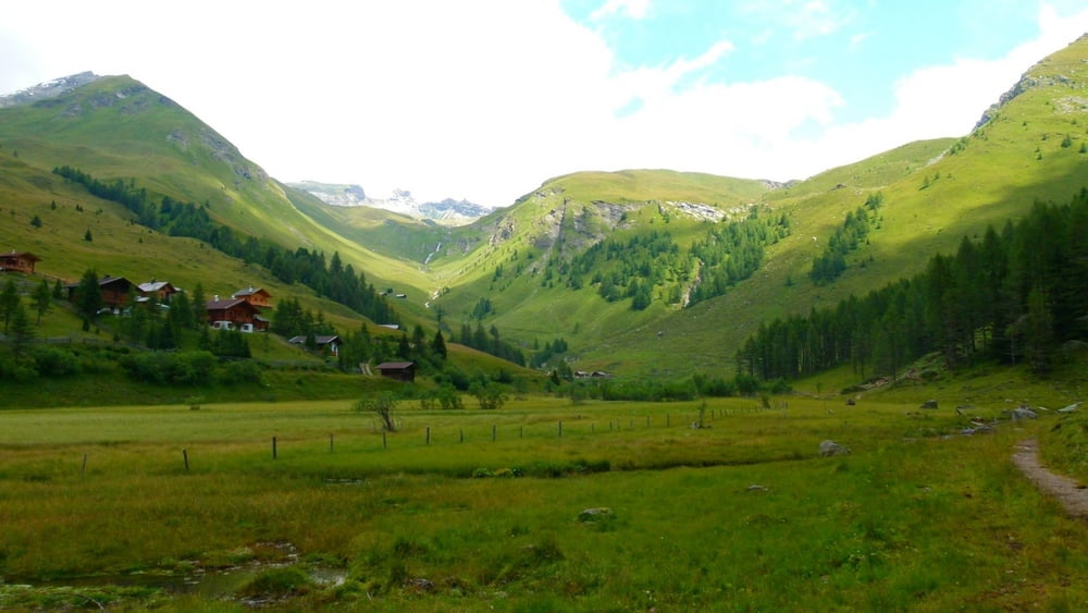
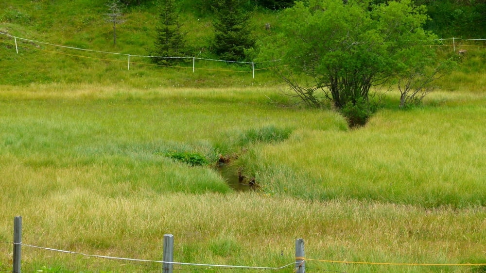
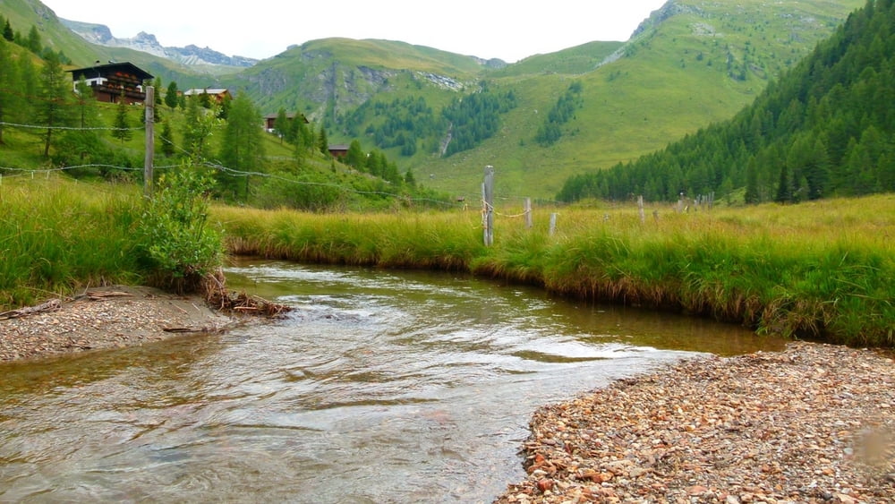
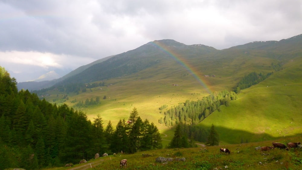
Маршрут: Lindlerkasa - Astner Moos - Almweg
Вид: Горный маршрут
Длина: 7,1 km
Evaluated on:
Длительность:
Day(s)
Hour(s)
Minute(s)
Оценка: Ландшафт Веселье Кондиция Техника