

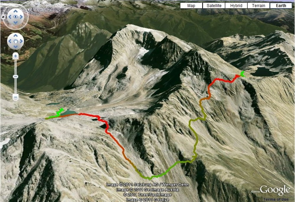

Date: July 31, 2011
Start: 2488 m (Adolf Nossberger Hütte)
Finish: 2508 m (Wangenitzseehütte)
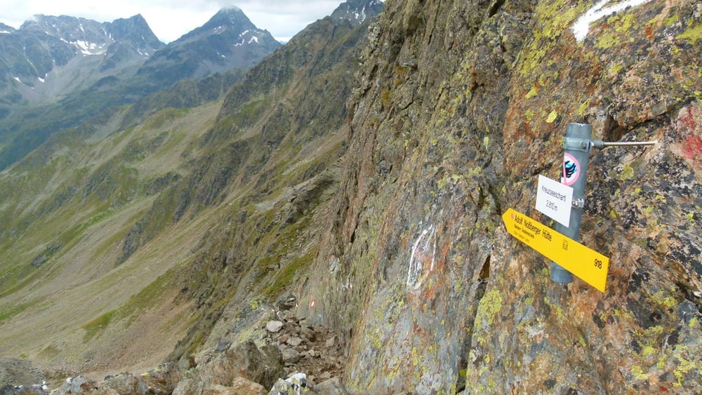
Highest point: 2810 m (Kreuzseescharte)
Lowest point: 2488 m (Adolf Nossberger Hütte)
Total ascent: 672 m
Total descent: 634 m
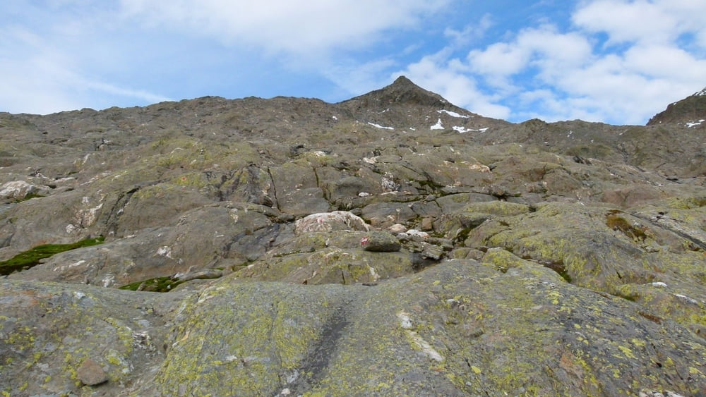
Part of the trail is marked 'black', which requires absolutely steady feet and no fear of height at all!! Be very careful!
Most of the trail is quite steep going up and down as well.
**************************
Do not take anything, do not leave anything!
**************************
Please, do NOT leave trash behind. Paper tissues are also trash! Chocolate wrap as well. Bring a small trash bag with you and take your trash with yourself to the next trash can. It is not that heavy.
**************************
Further information at
https://picasaweb.google.com/beatahardi/2010073008013NaposHutteTura?authuser=0&feat=directlinkГалерея маршрутов


Карта маршрута и высотный профиль
Minimum height 2476 m
Maximum height 2804 m
More about the tour author
|
|
beepee |
Комментарии

More about the tour author
|
|
beepee |
Add to my favorites
Remove from my favorites
Edit tags
Open track


My score
Rate