Login

Забыл пароль?

Cookies have to be accepted!
Your browser's cookie functionality is disabled. Please enable this functionality.

Not a member yet?

Register now
Login

Available for registred users only

Log in to use this feature.

Забыл пароль?

Cookies have to be accepted!
Your browser's cookie functionality is disabled. Please enable this functionality.

Not a member yet?

Register now
Filter
Категории
Advanced filters
  • Длина (км)
  • Высотомер
Сохранить фильтр Reset filter

TrackRank

QRCode

Technical data

Длина18,5 km Высотомер418 m Way down641 m Длительность04:30 h:m Дата10.12.2011
Оценки Author Ландшафт Веселье Кондиция Техника

Статистика

511 Виды Оценки 91 Загрузки Среднее
Rate
  • Формуляр маршрута
  • Дорога
  • Загрузки

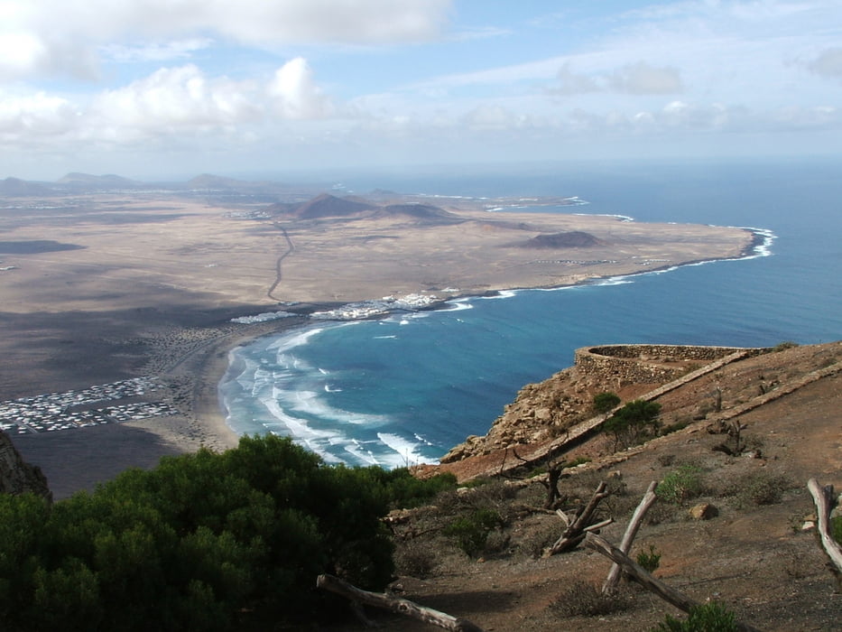
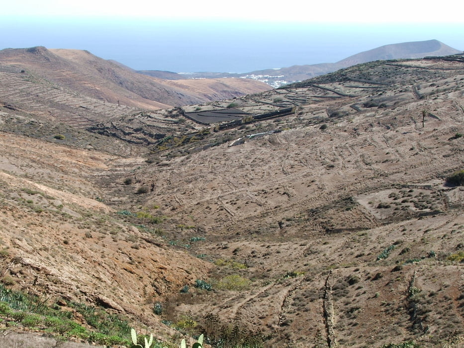
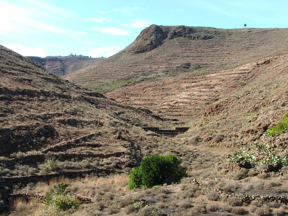
Wegverlauf: Haría - Valle de Malpaso - Mirador de Bosquecillo - Peñas del Chache - Ermita de las Nieves - Valle del Palamo - Presa de Mala - Mala

Schöne Ausblicke in alle Richtungen

Галерея маршрутов

Карта маршрута и высотный профиль

  • Open Street Map
  • Google
Minimum height 60 m Maximum height 646 m Детальный вид

More about the tour author

lothardomnik
Member since 2009

Send private message

Комментарии

Buslinie 07 von Arrecife nach Haría, Buslinien 07 und 09 von Mala nach Arrecife


GPS-Tracks

Trackpoints
  • GPX / Garmin Map Source (gpx) download
  • TCX / Garmin Training Center® (tcx) download
  • CRS / Garmin Training Center® (crs) download
  • Google Earth (kml) download
  • G7ToWin (g7t) download
  • TTQV (trk) download
  • Overlay (ovl) download
  • Fugawi (txt) download
  • Kompass (DAV) Track (tk) download
  • Формуляр маршрута (pdf) download
  • Original file of the author (gpx) download

More about the tour author

lothardomnik
Member since 2009

Send private message
Share track
Add to my favorites
Remove from my favorites
Edit tags
My score
Rate
Маршрут: Lanzarote: Nordosten (2)
Вид: Пешеходный туризм
Длина: 18,5 km
Evaluated on:
Длительность:
Day(s)
Hour(s)
Minute(s)
Оценка: Ландшафт Веселье Кондиция Техника