Login

Login vergessen?

Cookies müssen akzeptiert werden!
Die Cookie-Funktion Ihres Browsers ist deaktiviert. Bitte aktivieren Sie die Funktion.

Noch kein Mitglied?

Jetzt Registrieren
Login

Nur für eingeloggte Benutzer möglich

Melde dich an, um diese Funktion nutzen zu können.

Login vergessen?

Cookies müssen akzeptiert werden!
Die Cookie-Funktion Ihres Browsers ist deaktiviert. Bitte aktivieren Sie die Funktion.

Noch kein Mitglied?

Jetzt Registrieren
Filter
Kategorien
Erweiterte Filter
  • Länge (km)
  • Höhenmeter
Filter speichern Filter zurücksetzen

TrackRank

QRCode

Technische Daten

Länge45,2 km Höhenmeter452 m Abstieg455 m Dauer00:00 h:m Datum07.07.2014
Bewertungen Autor Landschaft Spaßfaktor Kondition Technik

Statistik

548 Views Bewertungen 65 Downloads Durchschnitt
Bewerten
  • Tourenblatt
  • Anfahrt
  • Downloads

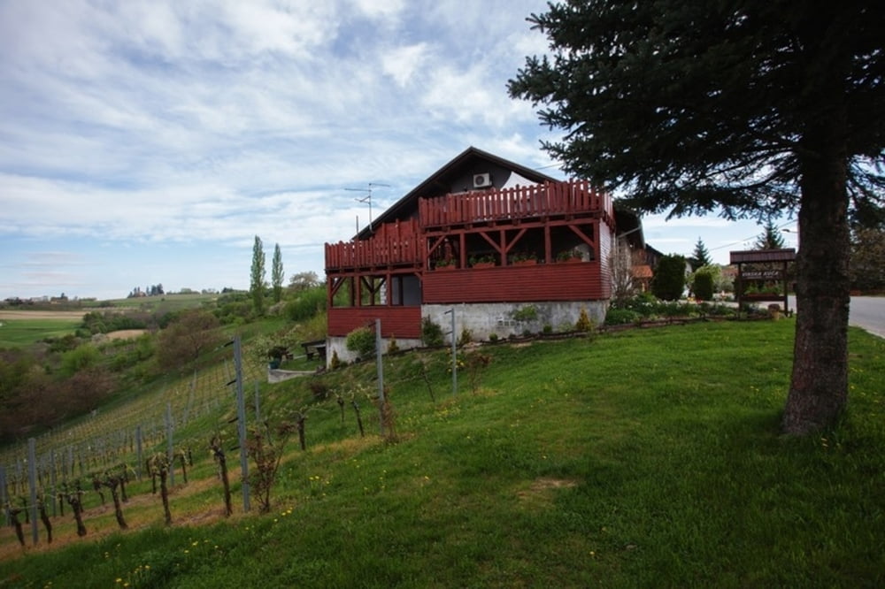
Odmah nakon polaska iz hotela čeka nas strmi uspon
nakon kojeg slijedi dugačak i lijep spust u dolinu. Idućih 10-
tak klilometara vozimo se kroz ravnicu da bi se ubrzo vratili
u “gorice” i laganim usponima i spustevima kroz pitome
i pitoreskne brežuljke vratili na početnu točku. Staza koja
otkriva svu raznolikost ovog prostora i staza nakon koje ćete
jedva čekati novo bicikliranje ovim krajem.
Napomena: staza je pogodna za TREKKING bicikle.


Immediately after you leave the hotel there is a steep uphill ride followed by a nice and long downhill ride into the valley. For the next 10 kilometers, we ride through the plains and soon return to the "hills". With easy uphill and downhill rides through the gentle hills we come back to the starting point. This trail reveals all the diversity of the area and makes you wish for another ride as soon as this one is finished.

http://spa-sport.hr
http://www.adriabike.hr
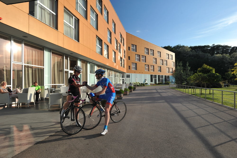
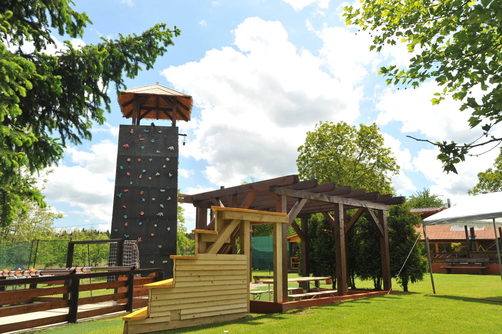
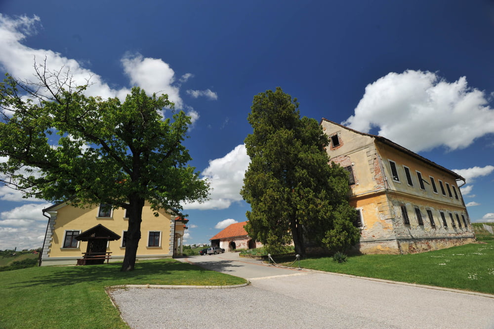
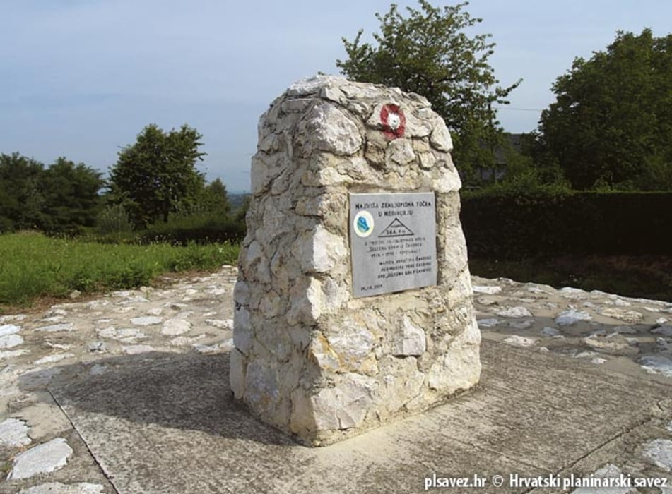
Tour Galerie

Tour Karte und Höhenprofil

  • Open Street Map
  • Google
Minimale Höhe 167 m Maximale Höhe 339 m Detailansicht

Mehr zum Tourautor

AdriaBikeHotels
Mitglied seit 2014

Land: Kroatien

60 erstellte Touren
7.2
Private Nachricht senden

Kommentare

GPS-Tracks

Trackpunkte
  • GPX / Garmin Map Source (gpx) download
  • TCX / Garmin Training Center® (tcx) download
  • CRS / Garmin Training Center® (crs) download
  • Google Earth (kml) download
  • G7ToWin (g7t) download
  • TTQV (trk) download
  • Overlay (ovl) download
  • Fugawi (txt) download
  • Kompass (DAV) Track (tk) download
  • Tourenblatt (pdf) download
  • Originaldatei des Autors (gpx) download

Mehr zum Tourautor

AdriaBikeHotels
Mitglied seit 2014

Land: Kroatien

60 erstellte Touren
7.2
Private Nachricht senden
Tour teilen
Zu meinen Favoriten hinzufügen
Von meinen Favoriten entfernen
Tags bearbeiten
Meine Bewertung
Bewerten
Tour: Sv. Martin na Muri. Road Staza br. 5.
Art: Rennrad
Länge: 45,2 km
Bewertet am:
Dauer:
Tag(e)
Stunde(n)
Minute(n)
Bewertung: Landschaft Spaßfaktor Kondition Technik