


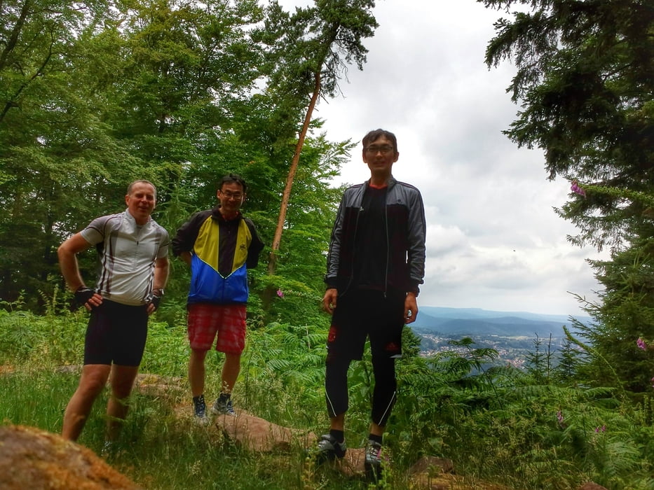
A test of electric Mountainbikes from Cube and Kreidler, equiped with Bosch middlemotors and a rear motor from an unknown supplier. The Bosch battery had still power after 51km, but the rear-motors battery was empty. All bikes made a lot of fun.
The tour starts at the center of Klingenmünster, goes to the west and uphill to the Karlsplatz, Hohe Tanne and Abtskopf. Then down to Silzer Linde, Silz Village and up again to Gossersweiler. From that we rode to the Lindelbrunner hof and their castle, to Vorderweidenthal and the lake "Seehof". After a break at the nice kiosk we had a nice single trail to the Hirzeck-Haus and rode back via Reisdorf, Böllenborn, Bad Bergzabern and so on.
The weather was wet, but warm. We paused during heavy-rain. Many single-trails.
Tour Galerie
Tour Karte und Höhenprofil
Minimale Höhe 140 m
Maximale Höhe 465 m
Mehr zum Tourautor

|
hapeba |
Kommentare

Highway A65 to Landau, then to Klingenmünster. Parking places are available there at the "Klingbachhalle" at the end of the Street "Mühlgasse".
GPS-Tracks
Trackpunkte-
GPX / Garmin Map Source (gpx) download
-
TCX / Garmin Training Center® (tcx) download
-
CRS / Garmin Training Center® (crs) download
-
Google Earth (kml) download
-
G7ToWin (g7t) download
-
TTQV (trk) download
-
Overlay (ovl) download
-
Fugawi (txt) download
-
Kompass (DAV) Track (tk) download
-
Tourenblatt (pdf) download
-
Originaldatei des Autors (gpx) download
Mehr zum Tourautor
|
|
hapeba |
Zu meinen Favoriten hinzufügen
Von meinen Favoriten entfernen
Tags bearbeiten
Tour öffnen
Meine Bewertung
Bewerten