Login

Login vergessen?

Cookies müssen akzeptiert werden!
Die Cookie-Funktion Ihres Browsers ist deaktiviert. Bitte aktivieren Sie die Funktion.

Noch kein Mitglied?

Jetzt Registrieren
Login

Nur für eingeloggte Benutzer möglich

Melde dich an, um diese Funktion nutzen zu können.

Login vergessen?

Cookies müssen akzeptiert werden!
Die Cookie-Funktion Ihres Browsers ist deaktiviert. Bitte aktivieren Sie die Funktion.

Noch kein Mitglied?

Jetzt Registrieren
Filter
Kategorien
Erweiterte Filter
  • Länge (km)
  • Höhenmeter
Filter speichern Filter zurücksetzen

TrackRank

QRCode

Technische Daten

Länge62,6 km Höhenmeter1487 m Abstieg1486 m Dauer00:00 h:m Datum24.08.2014
Bewertungen Autor Landschaft Spaßfaktor Kondition Technik

Statistik

556 Views Bewertungen 82 Downloads Durchschnitt
Bewerten
  • Tourenblatt
  • Anfahrt
  • Downloads

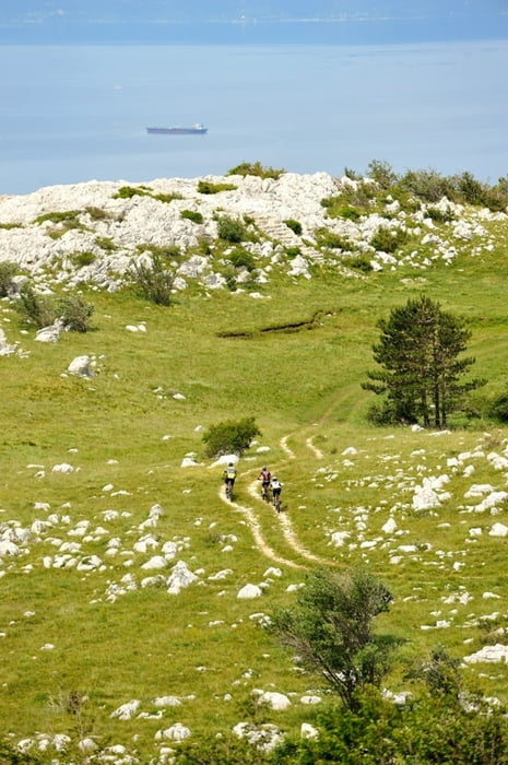
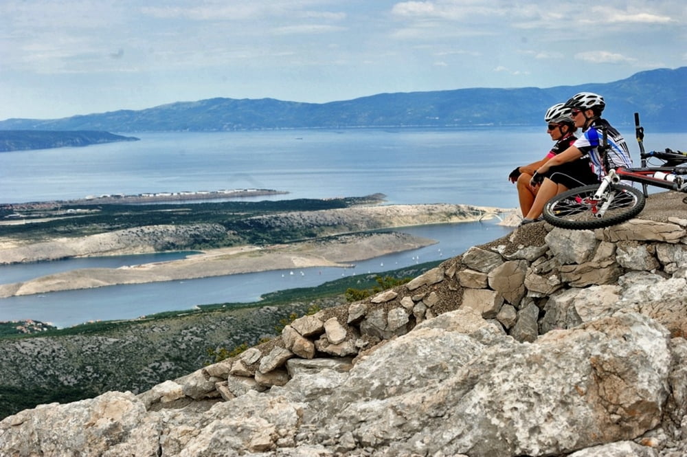
Staza koja će zadovoljiti i one najzahtjevnije brdske bicikliste i istovremeno ih fizički iscrpiti
i napuniti pozitivnom energijom. Osvajanje prijevoja Velike Kapele na 1285 m/nm, spust okolo vrha Viševica te vožnja panoramskom cestom sa pogledima a na obalu i kvarnerske otoke nikoga neće ostaviti ravnodušnim. Povratak prema Fužinama započinje penjanjem po planinskim pašnjacima a ulazak u Gorski kotar prepoznat ćete po dijelu gdje se miješaju planinska i mediteranska vegetacija. Pri povratku u hotel Bitoraj, počastite se dobrim obrokom i uvjerite se zašto je hotel Bitoraj već godinama gastronomska meka.

This route will satisfy even the most demanding cyclists and will fill them with positive energy as it will exhaust them physically. They will conquest the Velika Kapela notch at 1285 meters above sea level, descend around the peak Viševica and ride down a panoramic road with the view of the coast and Kvarner islands which will leave everyone breathless. The return to Fužine starts with an ascent over mountain pastures, where half- wild horses graze. The entry into Gorski kotar is visible where mountain vegetation meets Mediterranean. After you return to Bitoraj Hotel, see for yourself why this hotel has been a gastronomic mecca for years.

http://www.bitoraj.hr
http://www.adriabike.hr
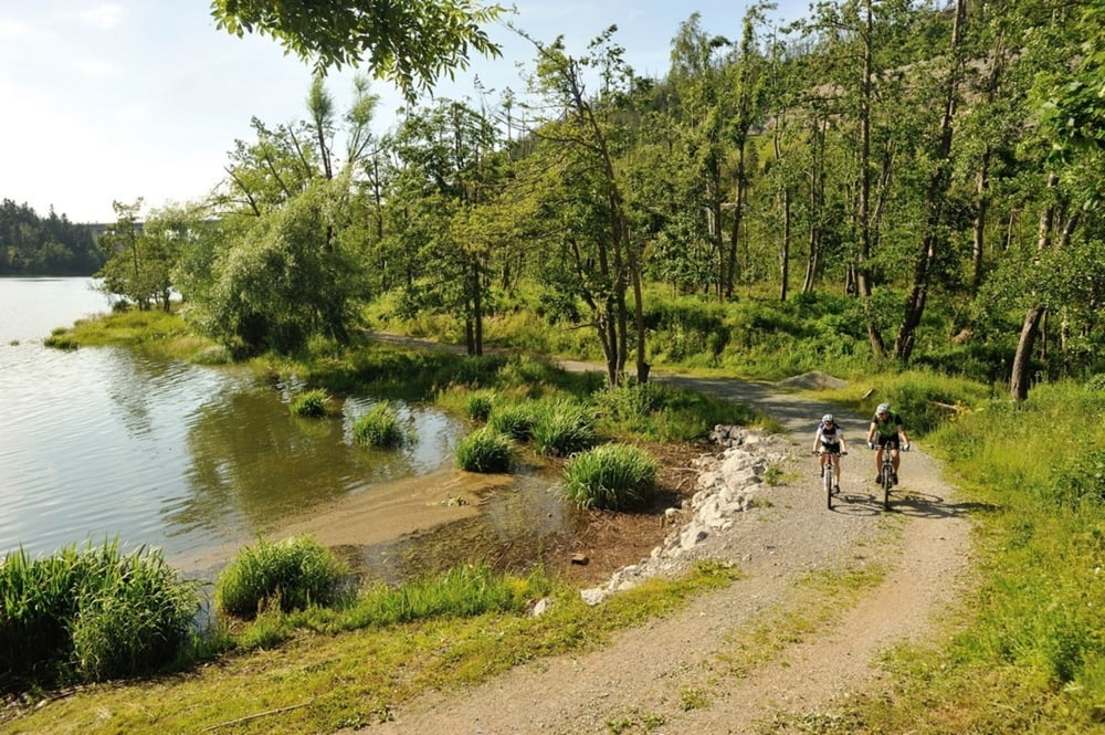
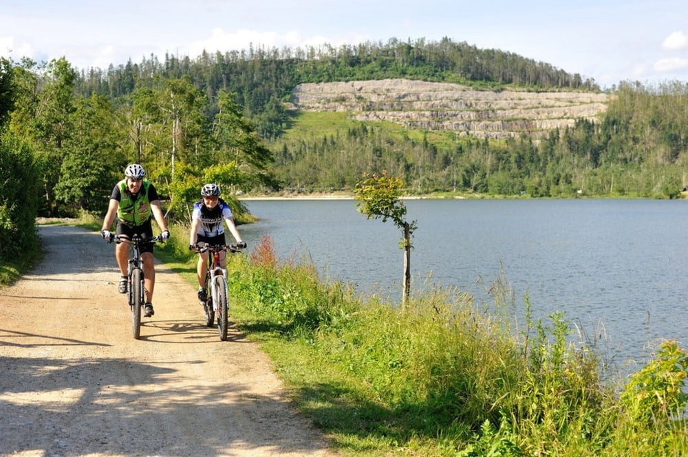
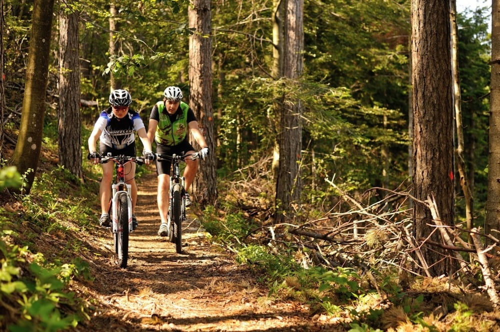
 

Tour Galerie

Tour Karte und Höhenprofil

  • Open Street Map
  • Google
Minimale Höhe 664 m Maximale Höhe 1288 m Detailansicht

Mehr zum Tourautor

AdriaBikeHotels
Mitglied seit 2014

Land: Kroatien

60 erstellte Touren
7.2
Private Nachricht senden

Kommentare

GPS-Tracks

Trackpunkte
  • GPX / Garmin Map Source (gpx) download
  • TCX / Garmin Training Center® (tcx) download
  • CRS / Garmin Training Center® (crs) download
  • Google Earth (kml) download
  • G7ToWin (g7t) download
  • TTQV (trk) download
  • Overlay (ovl) download
  • Fugawi (txt) download
  • Kompass (DAV) Track (tk) download
  • Tourenblatt (pdf) download
  • Originaldatei des Autors (gpx) download

Mehr zum Tourautor

AdriaBikeHotels
Mitglied seit 2014

Land: Kroatien

60 erstellte Touren
7.2
Private Nachricht senden
Tour teilen
Zu meinen Favoriten hinzufügen
Von meinen Favoriten entfernen
Tags bearbeiten
Meine Bewertung
Bewerten
Tour: FUŽINE MTB 6
Art: Mountainbike
Länge: 62,6 km
Bewertet am:
Dauer:
Tag(e)
Stunde(n)
Minute(n)
Bewertung: Landschaft Spaßfaktor Kondition Technik