

3 Peaks in the Sierra Nevada National Park
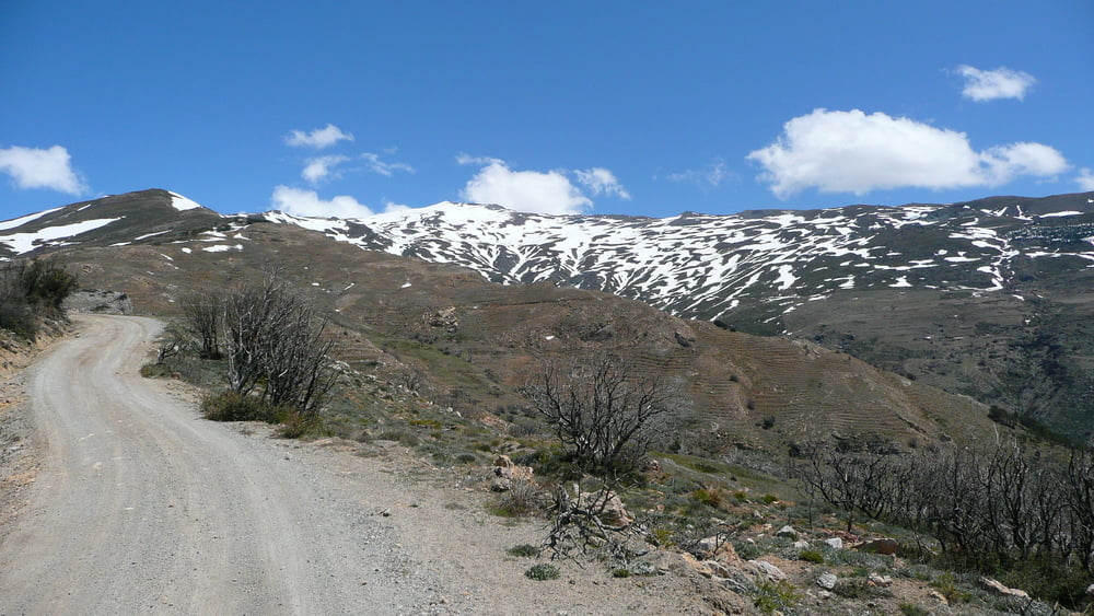
Clear blue skies and sunshine greeted us this morning so we decided to go into the Sierra Nevada. I had 2 tours planned, one going up to 2180m, the other to 1750m and because we could see the snow on the mountains but couldn’t find any information about the snow-line height, we chose the lower of the 2.
This time we went from Nigüelas up the Rio Torrente and then followed the Camino de la Dehesa straight up to 1750m (effectively 780m non-stop ascent with up to 26% incline in places! Most of the climb was 8-15%) above the source of the Rio Ducral. Peak N°1
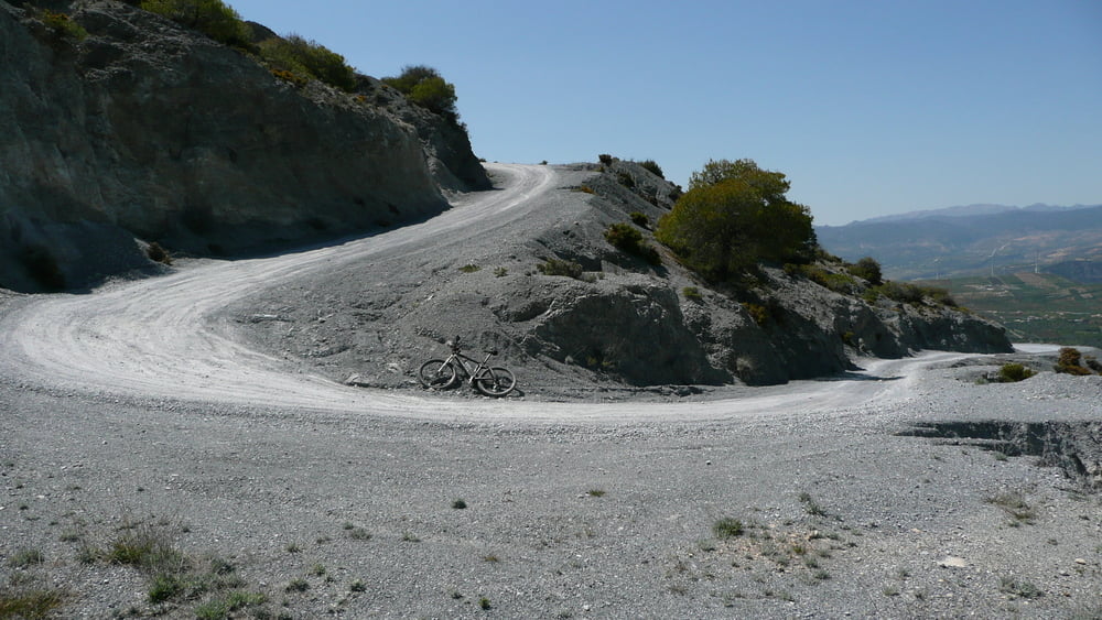
A 450m descent down to Cortijo la Magara (where you can get water as long as someone is in the ‘village’ of 5 houses) We were lucky and someone filled our bottles for us. From Cortijo la Magara we climbed back up to 1660m following the Camino de Prado Seco, a climb of about 400m again with parts near 20% incline. Peak N°2
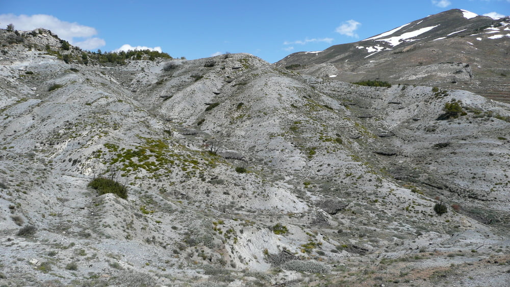
From 1650m we descended 1350m to climb back up to our final peak at 1500m. Peak N°3
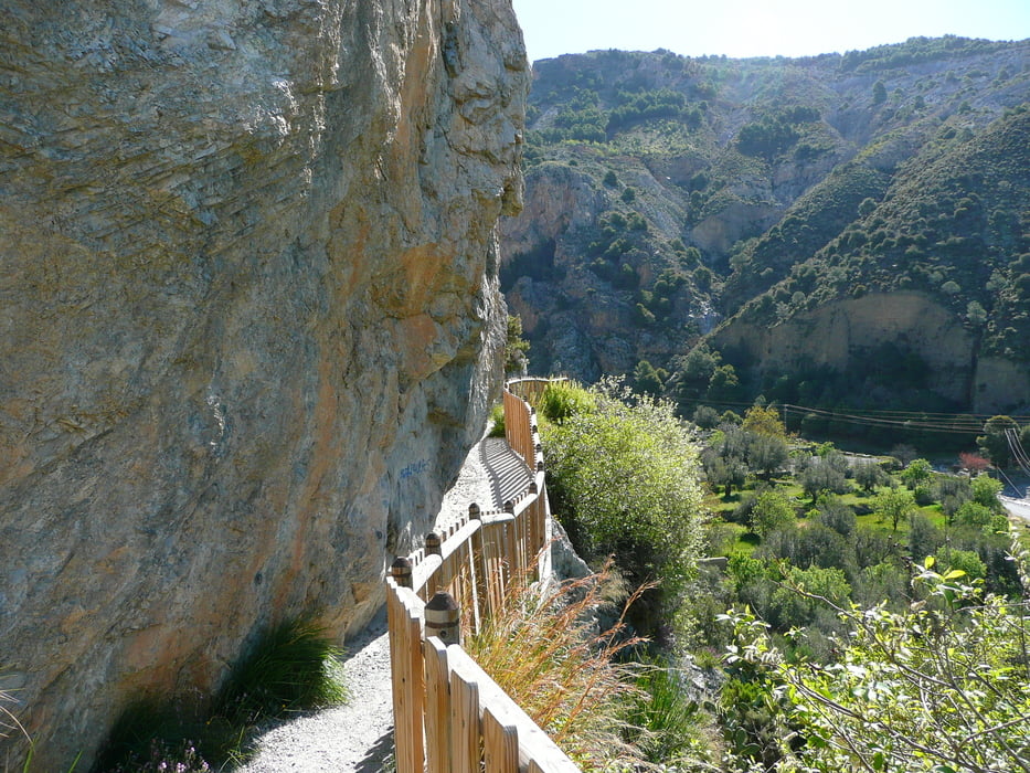
Then the big downhill of 730m into the valley and town of Durcal before climbing the last few meters up to Nigüelas and home.
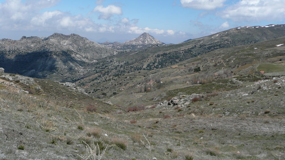
We had fantastic views and the mountains change in structure all along the way. The first half there is not much vegetation and very few trees, on the second half there were far more trees.
The technical skill is more for the ascent than the descent.
Weitere Informationen unter
http://www.creamteam.beTour Galerie
Tour Karte und Höhenprofil
Minimale Höhe 760 m
Maximale Höhe 1711 m
Mehr zum Tourautor
|
|
Cream Team |
Kommentare

Mehr zum Tourautor
|
|
Cream Team |
Zu meinen Favoriten hinzufügen
Von meinen Favoriten entfernen
Tags bearbeiten
Tour öffnen
Meine Bewertung
Bewerten