


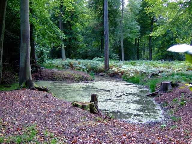
Really nice Mountainbike Tour in the Chiltern Hills just north of Henley on Thames.
The Track file also includes the approach from Oxford via low traffic country roads. The real MTB-part is the loop, which can be followed clockwise as well as counter clockwise. The approch is about 40 km, the loop itself about 50km.
If you follow the path clockwise as I have, you might find the waypoints I'vd included helpfull. They mark positions where its slightly difficult to find the correct path.
Overall probably the best MTB-route you can find in the Oxford area.
Weitere Informationen unter
http://www.chilternsaonb.org/Tour Galerie
Tour Karte und Höhenprofil
Minimale Höhe 52 m
Maximale Höhe 248 m
Mehr zum Tourautor

|
Kommentare

Mehr zum Tourautor
|
|
Zu meinen Favoriten hinzufügen
Von meinen Favoriten entfernen
Tags bearbeiten
Tour öffnen
Meine Bewertung
Bewerten