Login

Login vergessen?

Cookies müssen akzeptiert werden!
Die Cookie-Funktion Ihres Browsers ist deaktiviert. Bitte aktivieren Sie die Funktion.

Noch kein Mitglied?

Jetzt Registrieren
Login

Nur für eingeloggte Benutzer möglich

Melde dich an, um diese Funktion nutzen zu können.

Login vergessen?

Cookies müssen akzeptiert werden!
Die Cookie-Funktion Ihres Browsers ist deaktiviert. Bitte aktivieren Sie die Funktion.

Noch kein Mitglied?

Jetzt Registrieren
Filter
Kategorien
Erweiterte Filter
  • Länge (km)
  • Höhenmeter
Filter speichern Filter zurücksetzen

TrackRank

QRCode

Technische Daten

Länge122,7 km Höhenmeter2564 m Abstieg2474 m Dauer05:40 h:m Datum08.09.2013
Bewertungen Autor Landschaft Spaßfaktor Kondition Technik

Statistik

444 Views Bewertungen 58 Downloads Durchschnitt
Bewerten
  • Tourenblatt
  • Anfahrt
  • Downloads

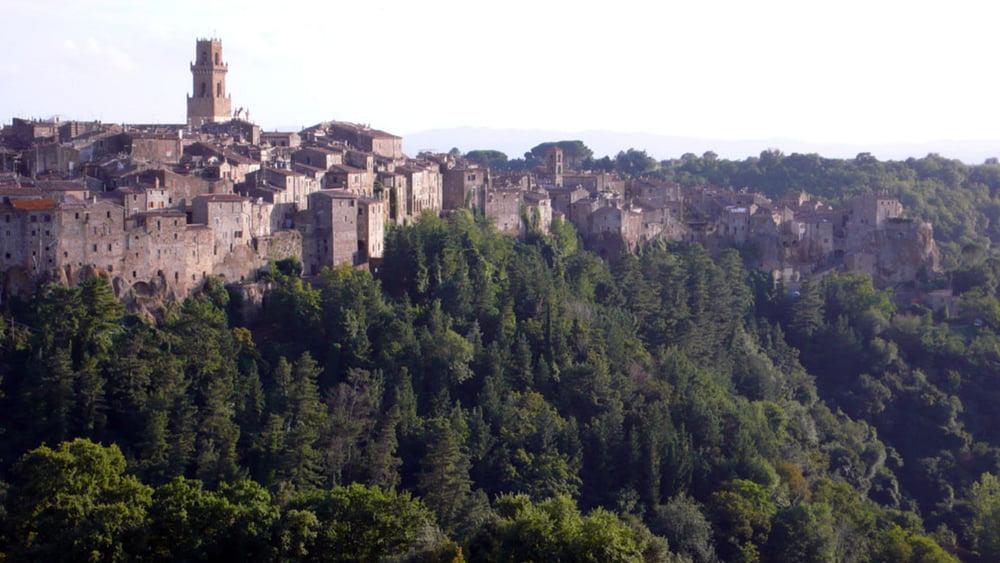
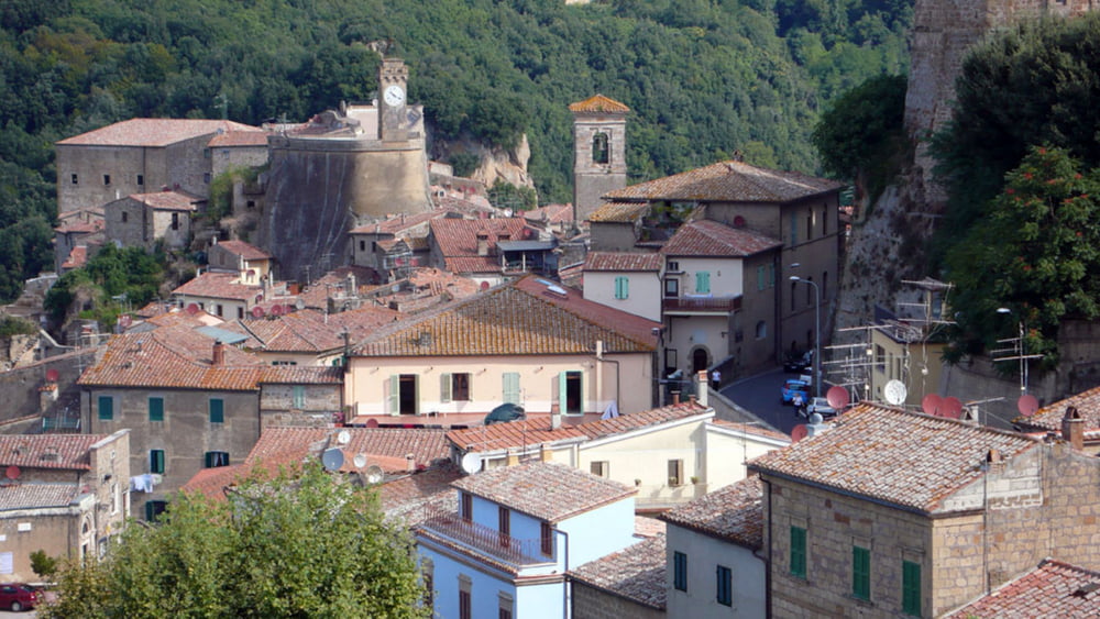
This tour will lead you from the medieval village of Pitigliano to the highest mountain of the Tuscany, the Monte Amiata. I tried to use as much small sideroads as possible to escape crazy Italian drivers, trailer towing Dutch drivers or Germans with a much too big SUV for their driving skills (so much about prejudices). Please be aware that the quality of some of the roads used is partially pretty poor with potholes in the bitumen. I did not climb up to the Peak of Mt. Amiata which would add another 100 vertical meters to the account and can only be done by walking.

I did the tour anticlockwise. It can be done clockwise as well but then you have to climb on roads which have more traffic. Altogether the climbs are never so steep that you have to get out of your saddle.

There are a couple of restaurants and bars near the top of Mt. Amiata but few on the way up or down. So plan your breaks well. There is no drinkable water along the road except what you buy in bars.

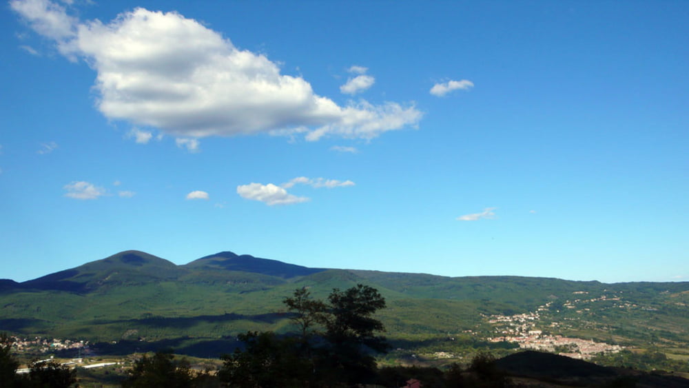
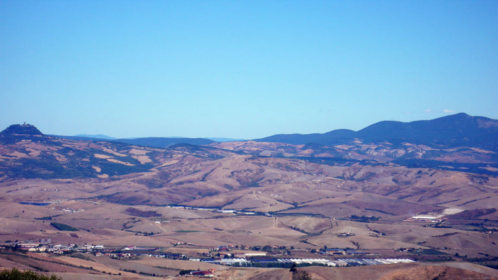
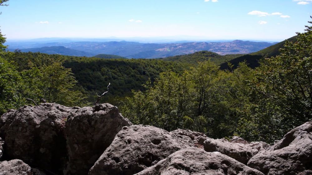
The tour will offer some excellent views on the landscape. As the Mt. Amiata itself is covered by wood, you get shade but only few possibilities to have a look around.

Tour Galerie

Tour Karte und Höhenprofil

  • Open Street Map
  • Google
Minimale Höhe 224 m Maximale Höhe 1672 m Detailansicht

Mehr zum Tourautor

Onkel Darwin
Mitglied seit 2007

Land: Deutschland

15 erstellte Touren
8.3
Private Nachricht senden

Kommentare

The tour starts at Pitigliano with sometimes limited parking possibilities. You can choose any other place on the track for starting as well.

GPS-Tracks

Trackpunkte
  • GPX / Garmin Map Source (gpx) download
  • TCX / Garmin Training Center® (tcx) download
  • CRS / Garmin Training Center® (crs) download
  • Google Earth (kml) download
  • G7ToWin (g7t) download
  • TTQV (trk) download
  • Overlay (ovl) download
  • Fugawi (txt) download
  • Kompass (DAV) Track (tk) download
  • Tourenblatt (pdf) download
  • Originaldatei des Autors (gpx) download

Mehr zum Tourautor

Onkel Darwin
Mitglied seit 2007

Land: Deutschland

15 erstellte Touren
8.3
Private Nachricht senden
Tour teilen
Zu meinen Favoriten hinzufügen
Von meinen Favoriten entfernen
Tags bearbeiten
Meine Bewertung
Bewerten
Tour: From Pitigliano to the Mt. Amiata
Art: Rennrad
Länge: 122,7 km
Bewertet am:
Dauer:
Tag(e)
Stunde(n)
Minute(n)
Bewertung: Landschaft Spaßfaktor Kondition Technik