


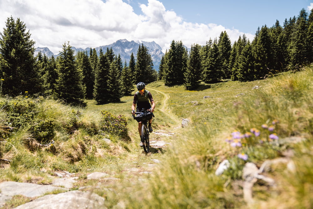
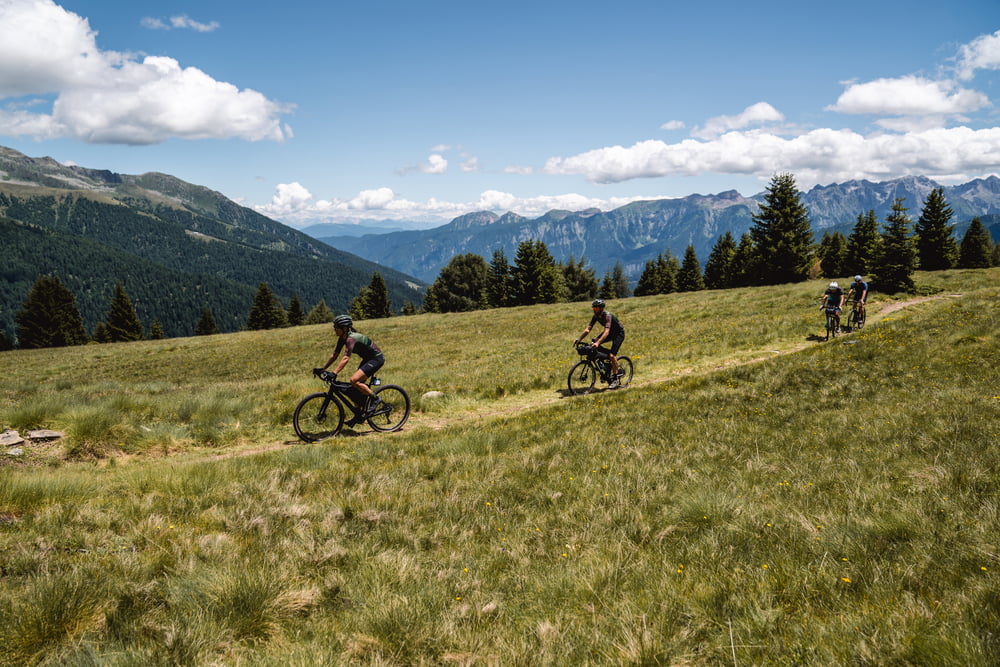
First a steep ascent, then an excellent climb on a well-maintained forest road to Malga Campo (Strudel!!!). To get to Lake Celentino technical flat section on forest trail with possible portage. Breathtaking Lago Celentino viewpoint and then technical trail in beautiful alpine surroundings to the hut. From here onwards rough or very rough dirt road downhill with considerable gradients. Ascent from Malga Stabli on an excellent forest road to a private alpine hut. From there, descend first on rough forest road, then very smooth and fast to reach the tarmac road. Once at the bottom of the valley, continue along the Val di Sole cycle path to Ossana.
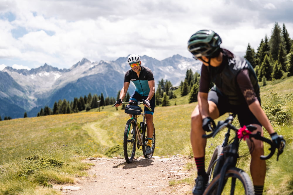
Water supplies possible along the entire route, Malga Campo and Malga Satabli with gastronomic offerings.
We recommend a minimum tyre width of 45 mm, tubeless.
Weitere Informationen unter
https://www.komoot.it/tour/883365728Tour Galerie

Tour Karte und Höhenprofil
Minimale Höhe 915 m
Maximale Höhe 2136 m
Mehr zum Tourautor

|
Helios_Bolzano |
Kommentare

Directions can be found over https://www.visitvaldisole.it/en/how-to-get-here
GPS-Tracks
Trackpunkte-
GPX / Garmin Map Source (gpx) download
-
TCX / Garmin Training Center® (tcx) download
-
CRS / Garmin Training Center® (crs) download
-
Google Earth (kml) download
-
G7ToWin (g7t) download
-
TTQV (trk) download
-
Overlay (ovl) download
-
Fugawi (txt) download
-
Kompass (DAV) Track (tk) download
-
Tourenblatt (pdf) download
-
Originaldatei des Autors (gpx) download
Mehr zum Tourautor
|
|
Helios_Bolzano |
Zu meinen Favoriten hinzufügen
Von meinen Favoriten entfernen
Tags bearbeiten
Tour öffnen
Meine Bewertung
Bewerten