Login

Login vergessen?

Cookies müssen akzeptiert werden!
Die Cookie-Funktion Ihres Browsers ist deaktiviert. Bitte aktivieren Sie die Funktion.

Noch kein Mitglied?

Jetzt Registrieren
Login

Nur für eingeloggte Benutzer möglich

Melde dich an, um diese Funktion nutzen zu können.

Login vergessen?

Cookies müssen akzeptiert werden!
Die Cookie-Funktion Ihres Browsers ist deaktiviert. Bitte aktivieren Sie die Funktion.

Noch kein Mitglied?

Jetzt Registrieren
Filter
Kategorien
Erweiterte Filter
  • Länge (km)
  • Höhenmeter
Filter speichern Filter zurücksetzen

TrackRank

QRCode

Technische Daten

Länge24,6 km Höhenmeter441 m Abstieg394 m Dauer00:00 h:m Datum07.03.2009
Bewertungen Autor Landschaft Spaßfaktor Kondition Technik

Statistik

1241 Views Bewertungen 330 Downloads Durchschnitt
Bewerten
  • Tourenblatt
  • Anfahrt
  • Downloads

MTB IN THE LESSER KNOWN PARTS OF TUSCANY

Tours

Val di Merse is situated just south of Siena. For more route tips visit the link below.

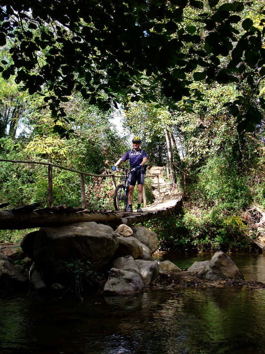
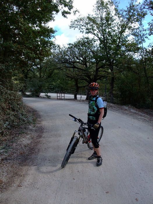
Not that much single trails but lots of white dirt roads, "strade bianche".

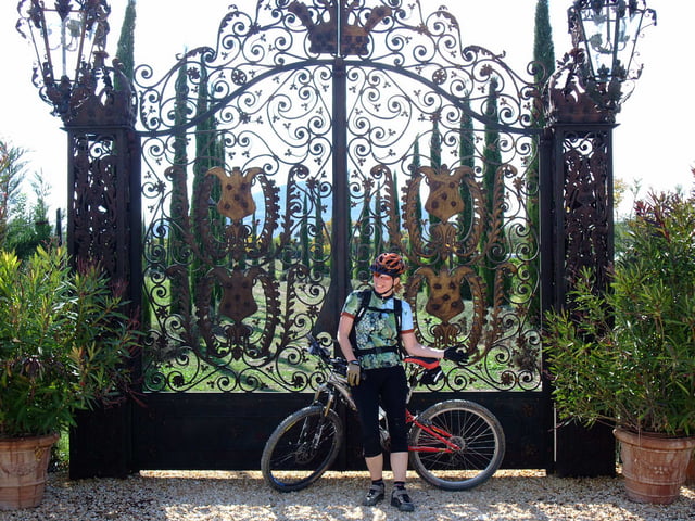
This tour starts and ends at the monastery of San Galgano. Note that the fee for the car park is quite expensive. We parked for free along the main road.

Food: There is a restaurant/bar at the monastery. Bring your own stuff if you want something en-route.

Maps

It's hard to get good maps of this area. There is the Kompass 661 Siena-Chianti Colline Senesi 1:50000, a bit crappy if you ask me. The best map we could get our hands on is Montagnola Senese 1:35000, Globalmap ISBN 88-7914-351-4. None of the maps are GPS compatible.

Accomodation

More than you can shake a stick at. Try this web site: www.agrituristsiena.com

Weitere Informationen unter

http://bici.terresiena.it/

Tour Galerie

Tour Karte und Höhenprofil

  • Open Street Map
  • Google
Minimale Höhe 259 m Maximale Höhe 487 m Detailansicht

Mehr zum Tourautor

Eva
Mitglied seit 2006

Land: Schweden

8 erstellte Touren
6.6
Private Nachricht senden

Kommentare

GPS-Tracks

Trackpunkte
  • GPX / Garmin Map Source (gpx) download
  • TCX / Garmin Training Center® (tcx) download
  • CRS / Garmin Training Center® (crs) download
  • Google Earth (kml) download
  • G7ToWin (g7t) download
  • TTQV (trk) download
  • Overlay (ovl) download
  • Fugawi (txt) download
  • Kompass (DAV) Track (tk) download
  • Tourenblatt (pdf) download
  • Originaldatei des Autors (gpx) download

Mehr zum Tourautor

Eva
Mitglied seit 2006

Land: Schweden

8 erstellte Touren
6.6
Private Nachricht senden
Tour teilen
Zu meinen Favoriten hinzufügen
Von meinen Favoriten entfernen
Tags bearbeiten
Meine Bewertung
Bewerten
Tour: San Galgano
Art: Mountainbike
Länge: 24,6 km
Bewertet am:
Dauer:
Tag(e)
Stunde(n)
Minute(n)
Bewertung: Landschaft Spaßfaktor Kondition Technik