

Light but enjoyable and varied tour.
Tour Galerie
Tour Karte und Höhenprofil
Minimale Höhe 1001 m
Maximale Höhe 1763 m
Mehr zum Tourautor

|
joe007 |
Kommentare

Tour starts 3km North from Tauplitz. Take the small road from Taplitz towards Kreitbauer, drive 3 kms.
Route starts on the left side of a brook - just before the road crosses it over a small bridge (965m). We've left the car in the left turn 100m before the bridge.
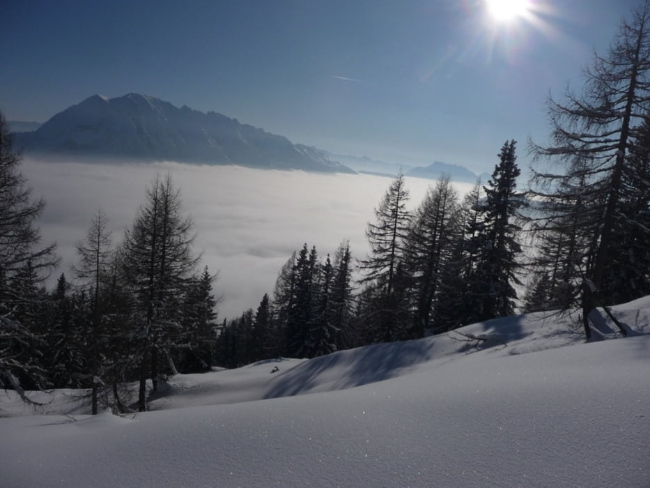
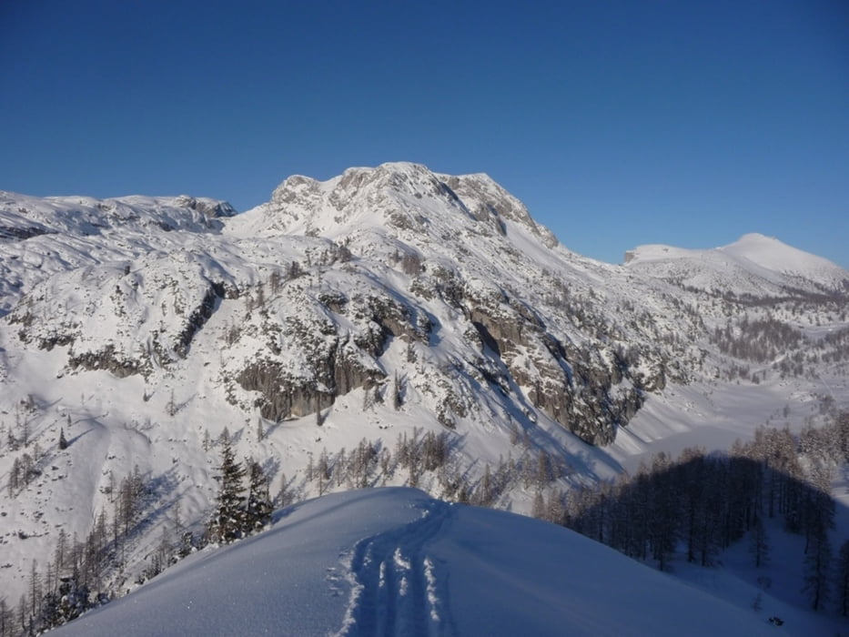
Following the small routes to the N, NE, sometimes cutting through the forest, can reach the top of Mitterberg (1714). Excellent view on Rosskogel, Grubachstein, and the other peaks around.
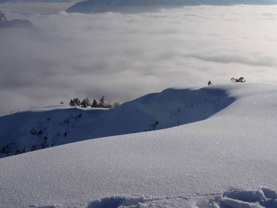
Take a descend to Schwarz-See to the NE (1552). Crossing the lake, then short uphill to Rishohe (1604), or climb Rosskogel (1870) (+1h) as on option.
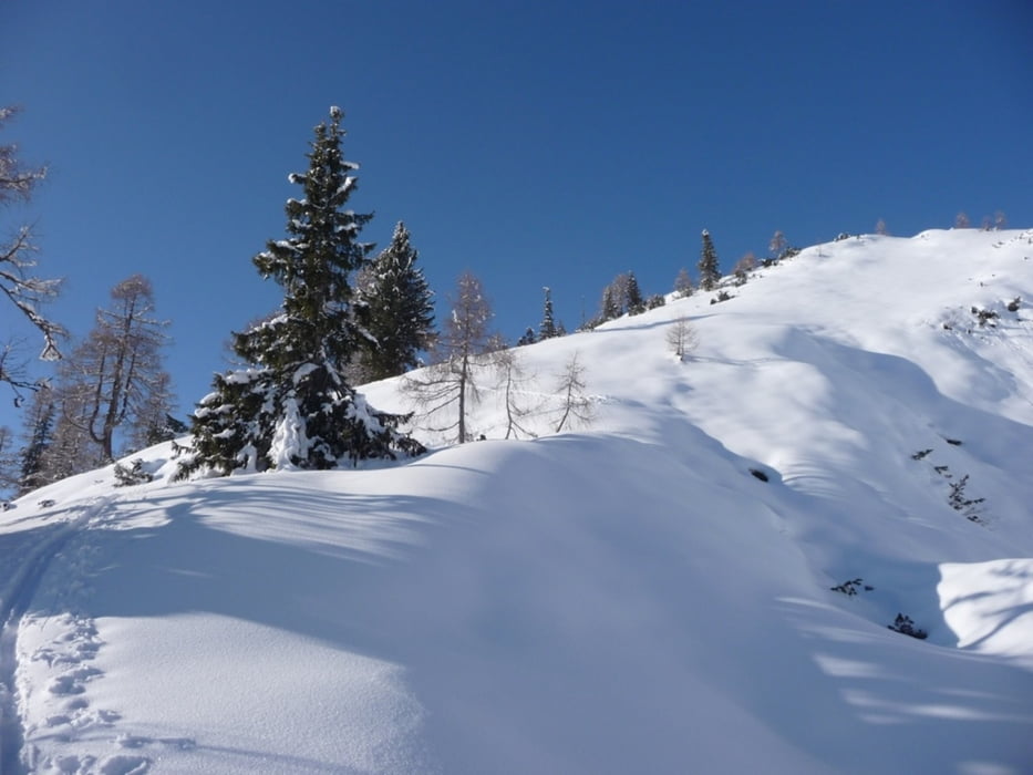
Descend in the walley S-SE from Rishohe among the trees, until reaching the small roads - taking back to the brook.
GPS-Tracks
Trackpunkte-
GPX / Garmin Map Source (gpx) download
-
TCX / Garmin Training Center® (tcx) download
-
CRS / Garmin Training Center® (crs) download
-
Google Earth (kml) download
-
G7ToWin (g7t) download
-
TTQV (trk) download
-
Overlay (ovl) download
-
Fugawi (txt) download
-
Kompass (DAV) Track (tk) download
-
Tourenblatt (pdf) download
-
Originaldatei des Autors (gpx) download
Mehr zum Tourautor
|
|
joe007 |
Zu meinen Favoriten hinzufügen
Von meinen Favoriten entfernen
Tags bearbeiten
Tour öffnen
Meine Bewertung
Bewerten