


Regensburg ist allemal einen Stopp wert! Wir sind dafür in Laufnähe zur City im IBIS Regensburg City abgestiegen.
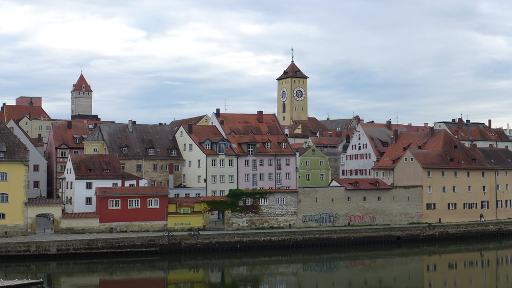
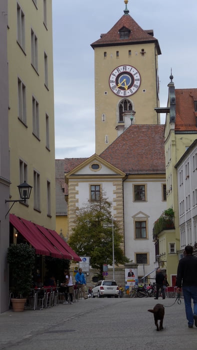
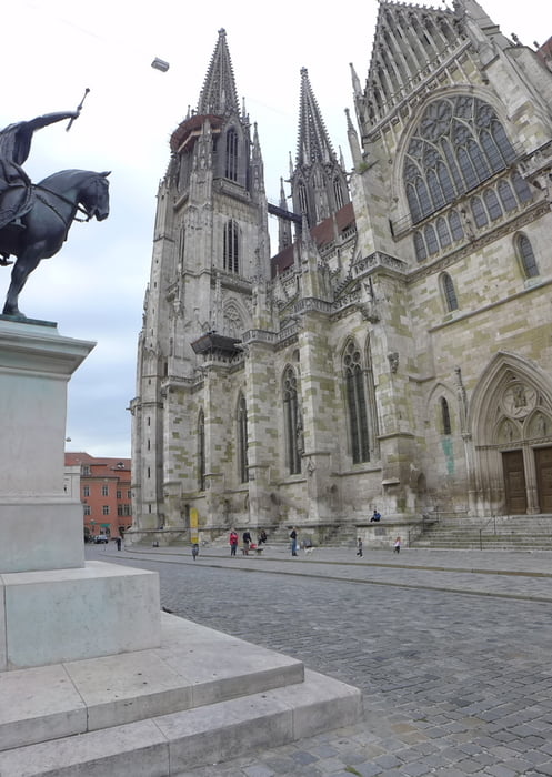
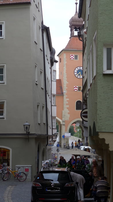
Regensburg ist mehr als nur Turm und Taxis. So haben wir ein paar Kirchen (Neupfarrkirche, Dom, Stiftskirche St. Johann usw.) abgeklappert, sind durch den Brückturm über die mehr als eintausend Jahre alte Steinerne Brücke promeniert, haben einen Blick auf die Waterfront geworfen und sind dann im Hacker-Pschorr Wirtshaus herrlich versackt!
Wer nur eine 0815Shoppingtour vorhat, der kann ohne viel zu laufen gleich am Hotel in den Regensburg ARCADEN einfallen. Freilich gibt es in der Altstadt sehr viele nette, kleine Läden und Boutiquen. Das Hochwasser hat allerdings einiges davon gründlich verwüstet und es ist noch nicht alles wiederhergestellt.
Further information at
http://www.regensburg.de/tourismus/Tour gallery
Tour map and elevation profile
Minimum height 336 m
Maximum height 390 m
More about the tour author
|
|
Saxoniaradler |
Comments

Aus Sachsen kommend fährt man am besten immer schön auf der A93 entlang bis Regensburg in Sichtweite kommt. Für Camper am Waldbad in Freiberg ist es eh ein bisschen weit!? Aber in und um FG gibt es ja auch schöne Ecken! ;-)
GPS tracks
Trackpoints-
GPX / Garmin Map Source (gpx) download
-
TCX / Garmin Training Center® (tcx) download
-
CRS / Garmin Training Center® (crs) download
-
Google Earth (kml) download
-
G7ToWin (g7t) download
-
TTQV (trk) download
-
Overlay (ovl) download
-
Fugawi (txt) download
-
Kompass (DAV) Track (tk) download
-
Track data sheet (pdf) download
-
Original file of the author (gpx) download
More about the tour author
|
|
Saxoniaradler |
Add to my favorites
Remove from my favorites
Edit tags
Open track
My score
Rate