


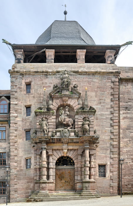
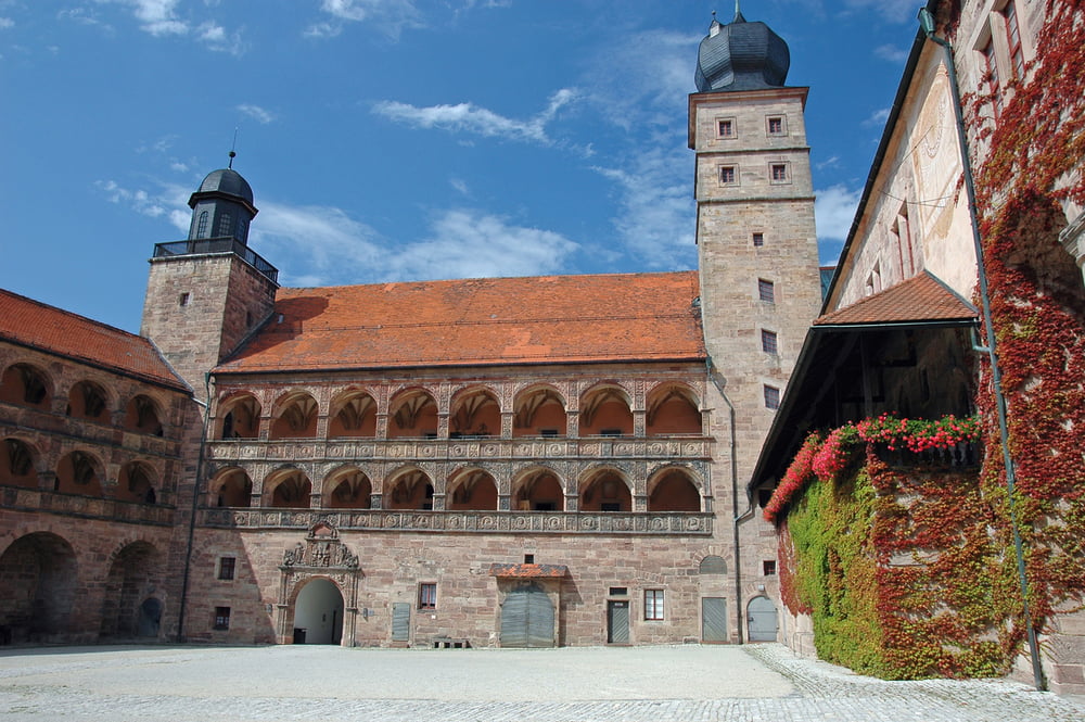
Vom Parkplatz aus ist man in wenigen Schritten in der Altstadt und folgt dem ausgeschilderten Weg des "Hans von Kulmbach" mit den historischen Angaben über sein Leben und zu den Gebäuden. So gelangt man automatisch hinauf zur imposanten Plassenburg mit dem schönen Innenhof und der herrlichen Aussicht auf die Altstadt von Kulmbach. Leider wird dieser Ausblick durch das sich nahtlos anschließende Industriegebiet total verschandelt. Sehr schade.
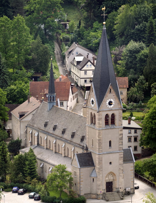
Beim Abstieg bin ich zu verschiedenen Kirchen gegangen und konnte etwas versteckt in der Spitalgasse ein nettes kleines Cafe mit sehr gutem Angebot entdecken. Für herkömmliche, deftige Kost gibt es in der Altstadt überall reichliches Angebot.
Tour gallery
Tour map and elevation profile
Minimum height 306 m
Maximum height 417 m
More about the tour author
|
|
Trunaradler |
Comments

Am besten parkt man auf den großen kostenfreien Parkplätzen am Festplatz in unmittelbarer Nähe zur B 289 am Schwedensteg
GPS tracks
Trackpoints-
GPX / Garmin Map Source (gpx) download
-
TCX / Garmin Training Center® (tcx) download
-
CRS / Garmin Training Center® (crs) download
-
Google Earth (kml) download
-
G7ToWin (g7t) download
-
TTQV (trk) download
-
Overlay (ovl) download
-
Fugawi (txt) download
-
Kompass (DAV) Track (tk) download
-
Track data sheet (pdf) download
-
Original file of the author (gpx) download
More about the tour author
|
|
Trunaradler |
Add to my favorites
Remove from my favorites
Edit tags
Open track
My score
Rate