Login

Forgot your login?

Cookies have to be accepted!
Your browser's cookie functionality is disabled. Please enable this functionality.

Not a member yet?

Register now
Login

Available for registred users only

Log in to use this feature.

Forgot your login?

Cookies have to be accepted!
Your browser's cookie functionality is disabled. Please enable this functionality.

Not a member yet?

Register now
Filter
Categories
Advanced filters
  • Distance (km)
  • Height
Save filters Reset filter

TrackRank

QRCode

Technical data

Distance13,4 km Height1742 m Way down1656 m Duration07:07 h:m Date28.08.2016
Scores Author Landscape Fun factor Fitness Technique

Statistics

306 Views Scores 8 Downloads Average
Rate
  • Track data sheet
  • Directions
  • Downloads

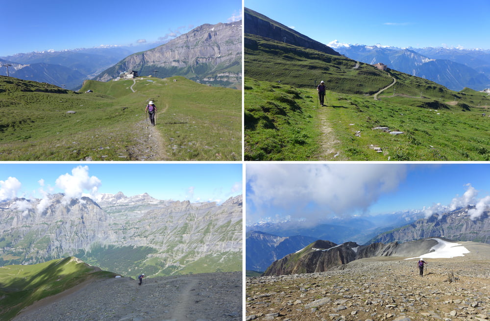
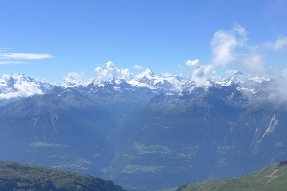
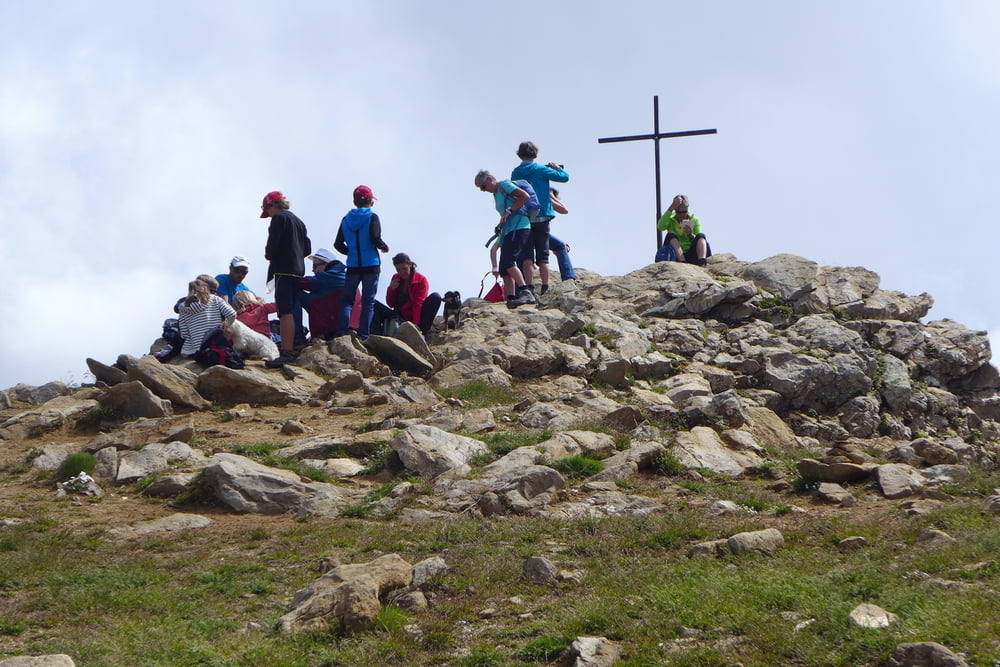
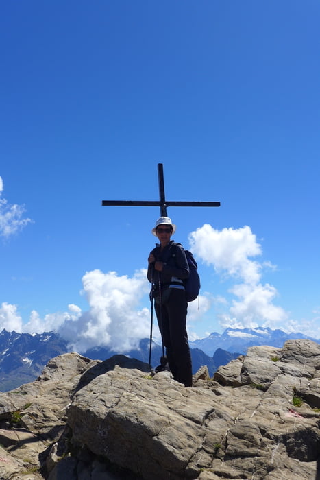
Das Torrenthorn ist ein Aussichtsberg mit Blick sowohl gen Matterhorn und Mount Blanc als auch in die Gipfel des Berner Oberlandes hinein. Wir haben aber erst einmal hinauf und hinab mit der Torrentbahn Höhe gespart und sind dann richtig an der Rinderhütte gestartet. Dies kostete freilich anno 2016 mit LBC+ 16 CHF pP.. Unten in Leukerbad ging es übrigens am Haus la Montanara los.


Further information at

https://www.leukerbad.ch/

Tour gallery

Tour map and elevation profile

  • Open Street Map
  • Google
Minimum height 1290 m Maximum height 3001 m Detailed view

More about the tour author

Saxoniaradler
Member since 2011

Send private message

Comments

Nach Leukerbad gelangt man am schlauesten per Huckepack oder direkt mit dem Zug durch den Lötschbergtunnel. Leukerbad wird dann von Leuk mit der LLB angesteuert.
Camper sind eh pfiffig und finden den Weg allein.


GPS tracks

Trackpoints
  • GPX / Garmin Map Source (gpx) download
  • TCX / Garmin Training Center® (tcx) download
  • CRS / Garmin Training Center® (crs) download
  • Google Earth (kml) download
  • G7ToWin (g7t) download
  • TTQV (trk) download
  • Overlay (ovl) download
  • Fugawi (txt) download
  • Kompass (DAV) Track (tk) download
  • Track data sheet (pdf) download
  • Original file of the author (gpx) download

More about the tour author

Saxoniaradler
Member since 2011

Send private message
Share track
Add to my favorites
Remove from my favorites
Edit tags
My score
Rate
Track: Torrenthorn
Type: Mountain hiking
Distance: 13,4 km
Evaluated on:
Duration:
Day(s)
Hour(s)
Minute(s)
Score: Landscape Fun factor Fitness Technique