


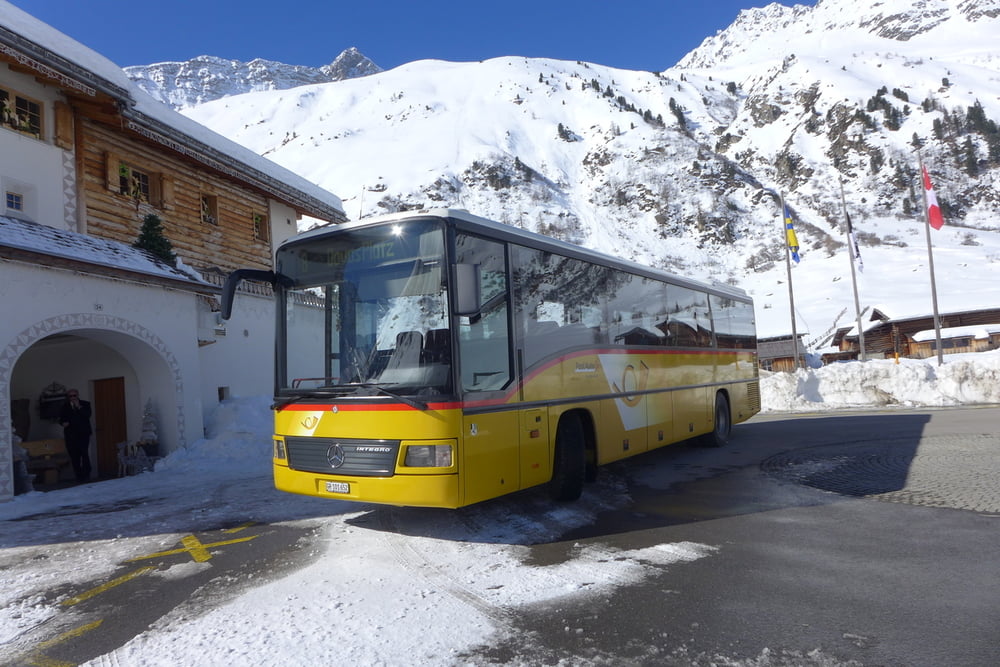
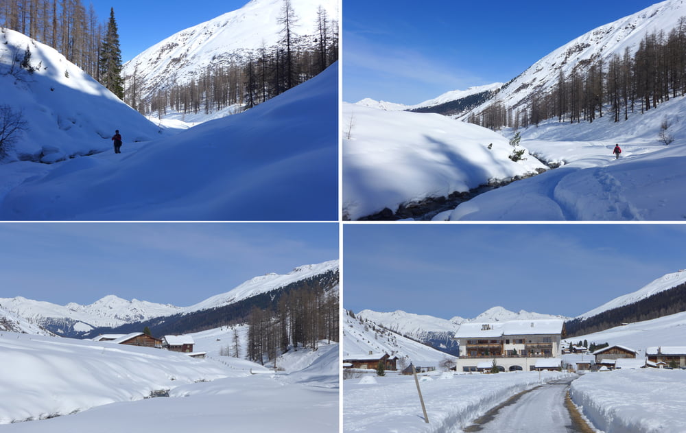
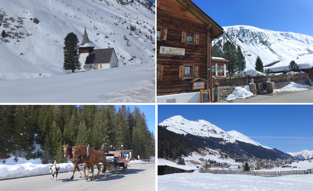
Wir fuhren mit dem Ortsbus Linie 8 (Postbus) vom Bahnhof Davos Platz gen Sertig Sand (bis Davos Clavadel/Klinikstraße kostenlos und nun bis Sertig Sand anno 2017 8.20 CHF p.P.). Am Walserhuus ist Endstation. Von dort kämpften wir uns auf einem nicht offiziellen Winterwanderweg bis zum Wasserfall. Zurück ging es vorbei am Berggasthaus Bergführer gen Davos auf offiziellen Winterwanderwegen.
Ausgangspunkt war stets das Haus Rüti am Sportweg in Davos.
Further information at
http://www.myswitzerland.com/de-de/home.htmlTour gallery

Tour map and elevation profile
Minimum height 1522 m
Maximum height 1919 m
More about the tour author
|
|
Saxoniaradler |
Comments

GPS tracks
Trackpoints-
GPX / Garmin Map Source (gpx) download
-
TCX / Garmin Training Center® (tcx) download
-
CRS / Garmin Training Center® (crs) download
-
Google Earth (kml) download
-
G7ToWin (g7t) download
-
TTQV (trk) download
-
Overlay (ovl) download
-
Fugawi (txt) download
-
Kompass (DAV) Track (tk) download
-
Track data sheet (pdf) download
-
Original file of the author (gpx) download
More about the tour author
|
|
Saxoniaradler |
Add to my favorites
Remove from my favorites
Edit tags
Open track
My score
Rate