Login

Forgot your login?

Cookies have to be accepted!
Your browser's cookie functionality is disabled. Please enable this functionality.

Not a member yet?

Register now
Login

Available for registred users only

Log in to use this feature.

Forgot your login?

Cookies have to be accepted!
Your browser's cookie functionality is disabled. Please enable this functionality.

Not a member yet?

Register now
Filter
Categories
Advanced filters
  • Distance (km)
  • Height
Save filters Reset filter

TrackRank

QRCode

Technical data

Distance9,8 km Height106 m Way down632 m Duration03:19 h:m Date25.03.2017
Scores Author Landscape Fun factor Fitness Technique

Statistics

462 Views Scores 6 Downloads Average
Rate
  • Track data sheet
  • Directions
  • Downloads

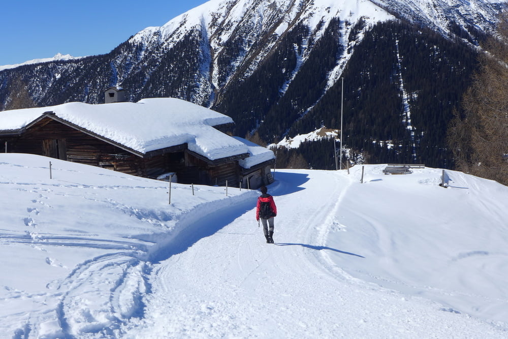
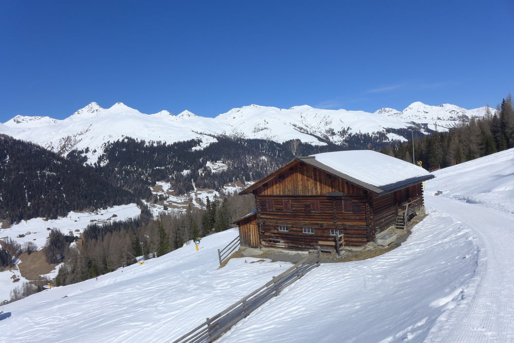
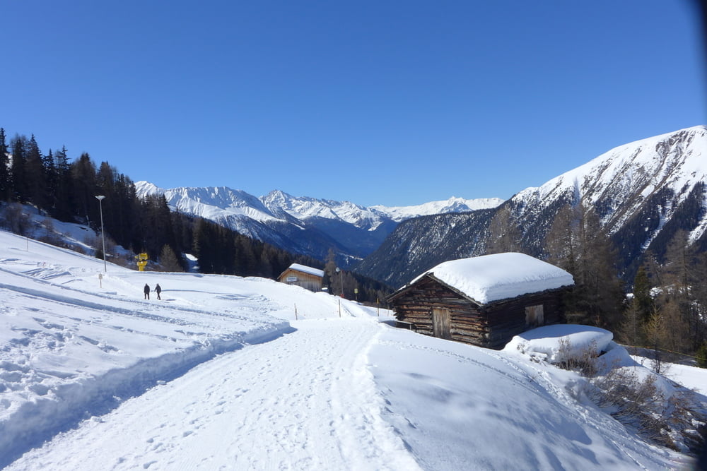
Wir fuhren mit dem kostenlosen Bus Linie 1 bis Bahnhof Glaris/Talstation Rinerhorn. Anschließend ging es mit der Kabinenbahn für 17.60 CHF p.P. hinauf und dann auf Winterwanderwegen hinab und weiter bis Frauenkirch. Dort nahmen wir wieder den kostenlosen Bus Linie 1 gen Davos.

Ausgangspunkt war stets das Haus Rüti am Sportweg in Davos.


Further information at

http://www.myswitzerland.com/de-de/home.html

Tour gallery

Tour map and elevation profile

  • Open Street Map
  • Google
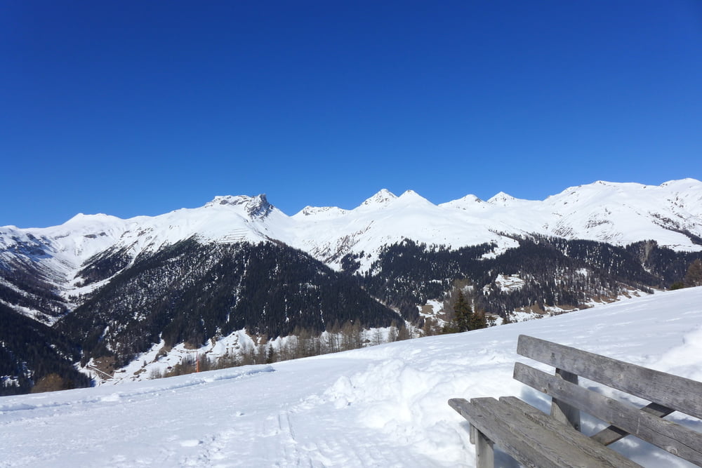
Minimum height 1465 m Maximum height 2050 m Detailed view

More about the tour author

Saxoniaradler
Member since 2011

Send private message

Comments

Nach Davos kommt man nicht wirklich sinnvoll mautfrei (A + CH) an Bregenz vorbei.


GPS tracks

Trackpoints
  • GPX / Garmin Map Source (gpx) download
  • TCX / Garmin Training Center® (tcx) download
  • CRS / Garmin Training Center® (crs) download
  • Google Earth (kml) download
  • G7ToWin (g7t) download
  • TTQV (trk) download
  • Overlay (ovl) download
  • Fugawi (txt) download
  • Kompass (DAV) Track (tk) download
  • Track data sheet (pdf) download
  • Original file of the author (gpx) download

More about the tour author

Saxoniaradler
Member since 2011

Send private message
Share track
Add to my favorites
Remove from my favorites
Edit tags
My score
Rate
Track: Winterwandern vom Rinerhorn bis Frauenkirch
Type: Hiking
Distance: 9,8 km
Evaluated on:
Duration:
Day(s)
Hour(s)
Minute(s)
Score: Landscape Fun factor Fitness Technique