Login

Forgot your login?

Cookies have to be accepted!
Your browser's cookie functionality is disabled. Please enable this functionality.

Not a member yet?

Register now
Login

Available for registred users only

Log in to use this feature.

Forgot your login?

Cookies have to be accepted!
Your browser's cookie functionality is disabled. Please enable this functionality.

Not a member yet?

Register now
Filter
Categories
Advanced filters
  • Distance (km)
  • Height
Save filters Reset filter

TrackRank

QRCode

Technical data

Distance135,1 km Height292 m Way down275 m Duration06:15 h:m Date19.08.2017
Scores Author Landscape Fun factor Fitness Technique

Statistics

228 Views Scores 32 Downloads Average
Rate
  • Track data sheet
  • Directions
  • Downloads
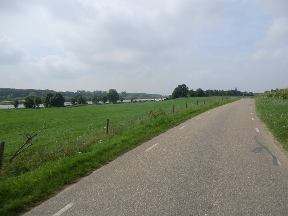
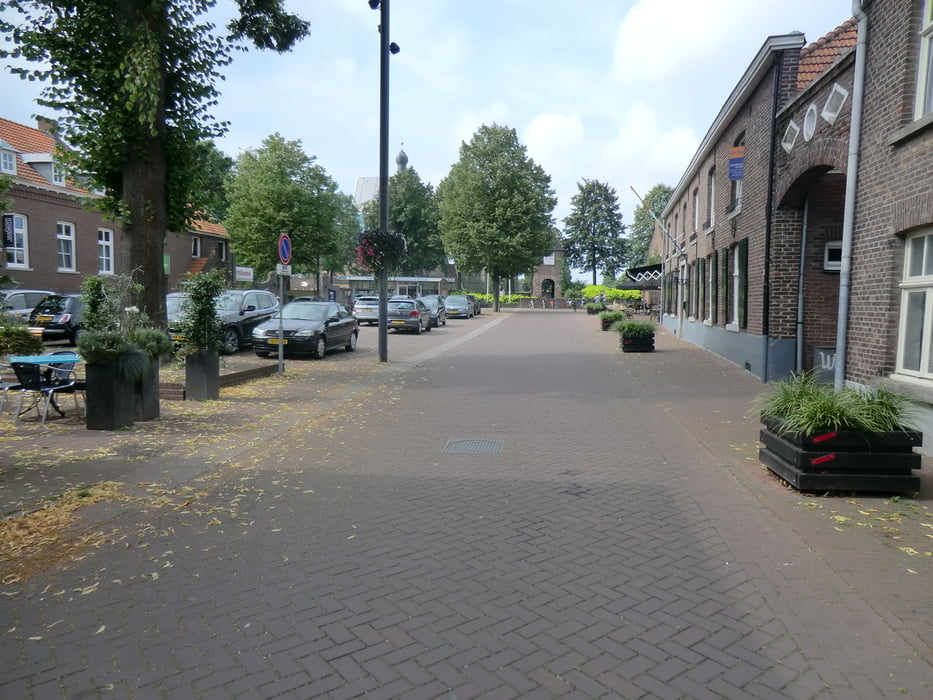
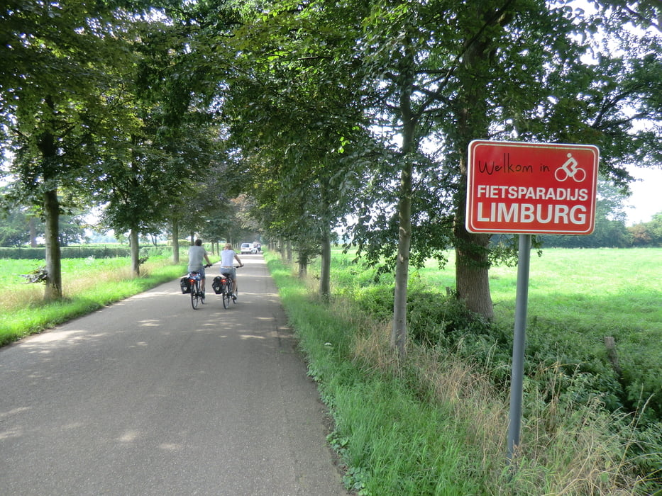
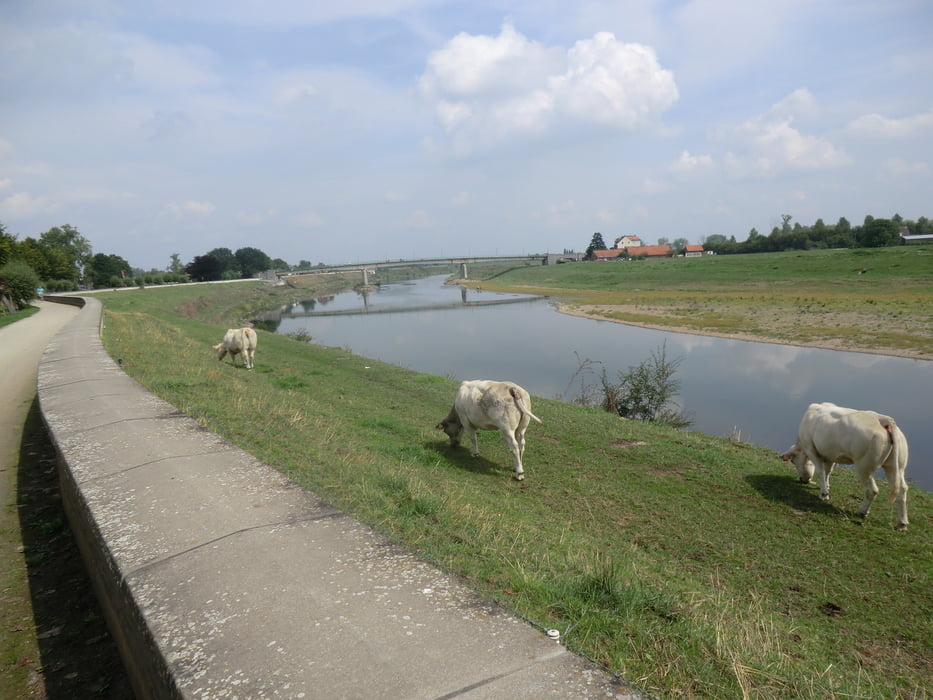
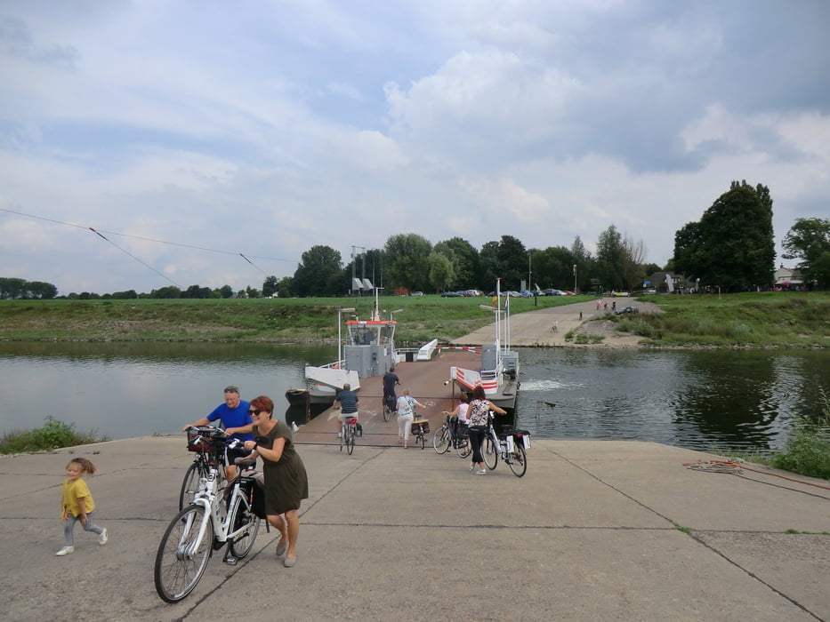
Start der Tour ist in Kaldenkirchen in Deutschland - weiter an der Maas entlang über Kessel (NL)  -  Maaseik (B). Mit der Fähre geht es über die Maas in Berg aan de Maas (NL)  - zurück Richtung Nationalpark de Meinweg (NL) bis Dülken in Deutschland.

Tour gallery

Tour map and elevation profile

  • Open Street Map
  • Google
Minimum height 15 m Maximum height 76 m Detailed view

More about the tour author

bikeman-c
Member since 2008

Send private message

Comments

GPS tracks

Trackpoints
  • GPX / Garmin Map Source (gpx) download
  • TCX / Garmin Training Center® (tcx) download
  • CRS / Garmin Training Center® (crs) download
  • Google Earth (kml) download
  • G7ToWin (g7t) download
  • TTQV (trk) download
  • Overlay (ovl) download
  • Fugawi (txt) download
  • Kompass (DAV) Track (tk) download
  • Track data sheet (pdf) download
  • Original file of the author (gpx) download

More about the tour author

bikeman-c
Member since 2008

Send private message
Share track
Add to my favorites
Remove from my favorites
Edit tags
My score
Rate
Track: Tour entlang der Maas(NL+B)
Type: Road biking
Distance: 135,1 km
Evaluated on:
Duration:
Day(s)
Hour(s)
Minute(s)
Score: Landscape Fun factor Fitness Technique