


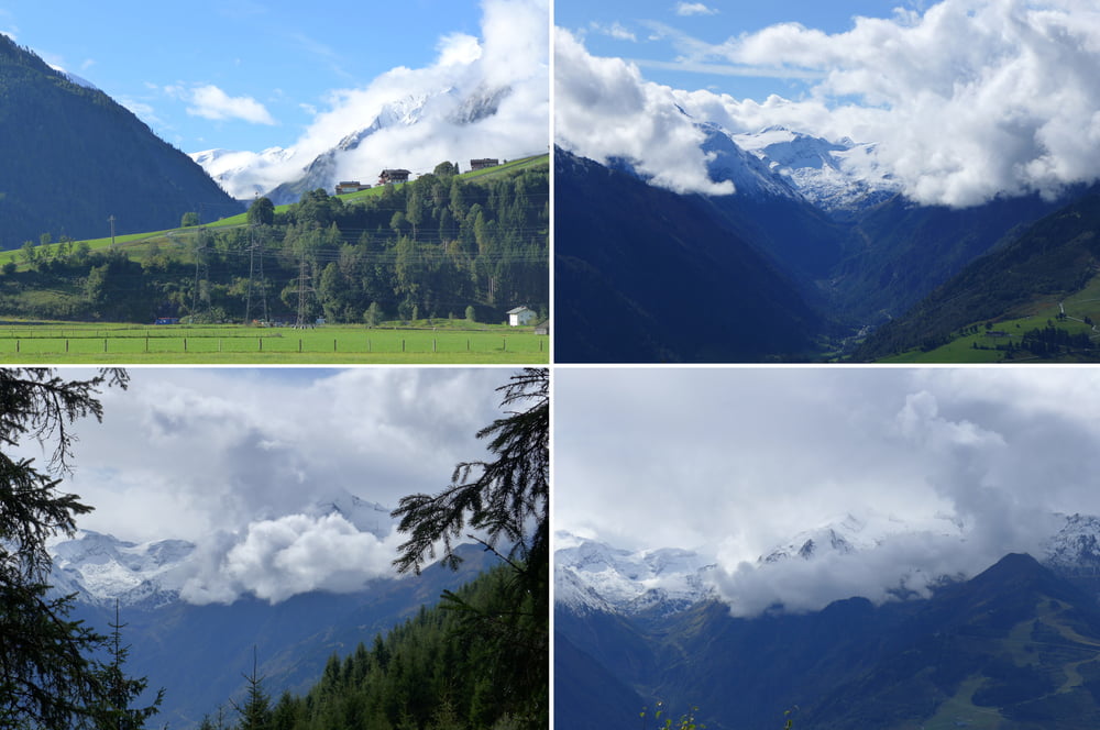
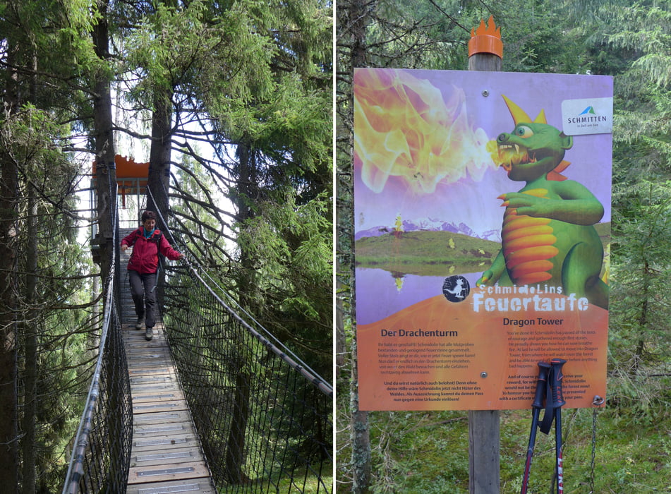
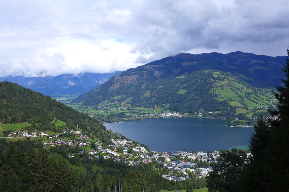
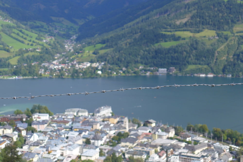
Wenn das Wetter schwächelt lohnt sich ein Gipfelsturm meist nicht so recht. Wir haben deshalb die Panoramahöhe über die Haslingalm auf dem Weg von Kaprun nach Zell am See angestrebt. Der Weg war leider mir nichts dir nichts gesperrt und wir mussten bis zur Areitalm aufsteigen. Dort oben gibt es für große und kleine Kinder einen Adventure-Weg. Wir hätten mit unserer Sommergästekarte kostenlos mit dem City Xpress abfahren können, taten dies aber nicht sondern sind hinab gen Zell am See geschlendert und anschließend mit dem Bus Linie 660 (fährt halbstündlich, 1 Euro p.P. mit Gästekarte) zurück nach Kaprun gefahren.
Ausgangspunkt war übrigens die Pension Fischer in Kaprun.
Ausgangspunkt war übrigens die Pension Fischer in Kaprun.
Further information at
https://www.zellamsee-kaprun.com/deTour gallery
Tour map and elevation profile
Minimum height 753 m
Maximum height 1479 m
More about the tour author
|
|
Saxoniaradler |
Comments

GPS tracks
Trackpoints-
GPX / Garmin Map Source (gpx) download
-
TCX / Garmin Training Center® (tcx) download
-
CRS / Garmin Training Center® (crs) download
-
Google Earth (kml) download
-
G7ToWin (g7t) download
-
TTQV (trk) download
-
Overlay (ovl) download
-
Fugawi (txt) download
-
Kompass (DAV) Track (tk) download
-
Track data sheet (pdf) download
-
Original file of the author (gpx) download
More about the tour author
|
|
Saxoniaradler |
Add to my favorites
Remove from my favorites
Edit tags
Open track
My score
Rate