


Der Wanderer nutzt im Sommer meist die Schmittenhöhebahn (für Gästekarteninhaber kostenlos!!!) um den Pinzgauer Spaziergang zu starten. Dieser ist eine Fünfsterneplus Wanderung und das Aushängeschild der Region.
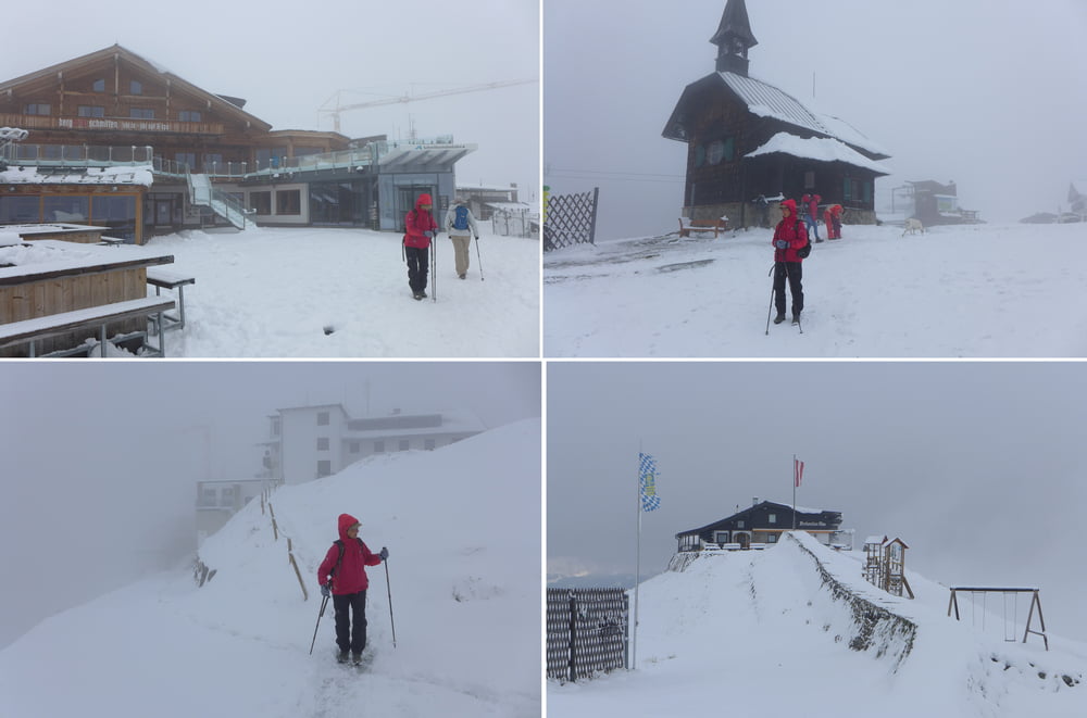
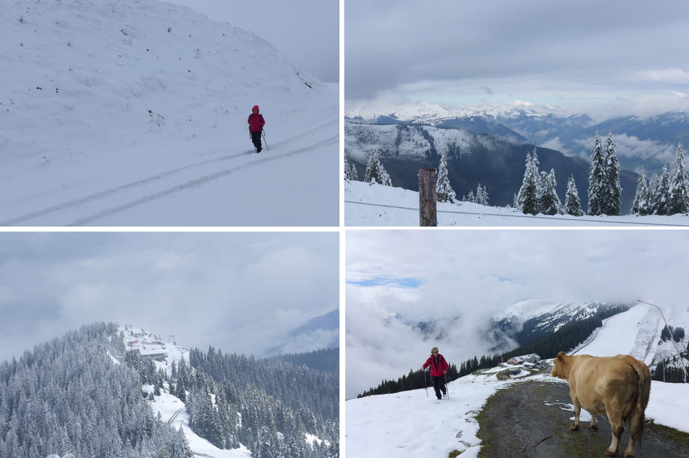
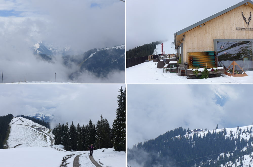
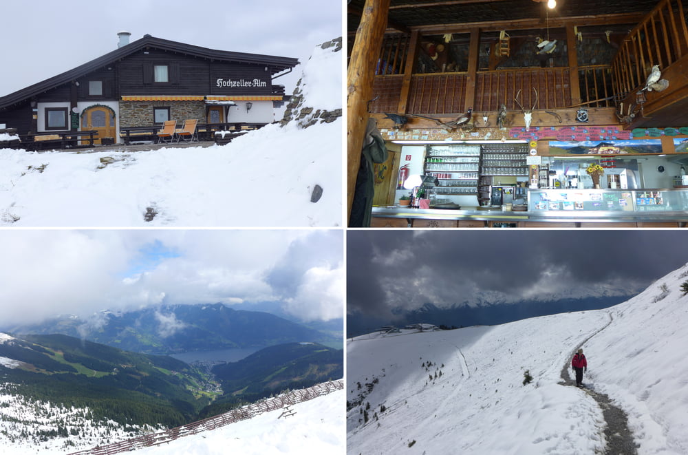
Mitte September 2017, der noch als kalendarischer Sommer verbucht wird, hatte es sich Petrus allerdings anders überlegt und schon Frau Holle engagiert.
Deshalb ging nichts bzw. fast nichts. Im echten Winter gibt es dort oben einen Winterwanderweg. Wir konnten aber nur mit Mühe zwischen Schmittenhöhe - Hochzeller Alm - Sonnkogel Alm und Schmiedhof Alm und ein bißchen drumherum pendeln um uns dann in er Hocchzeller Alm verwöhnen zu lassen :-).
Further information at
https://www.zellamsee-kaprun.com/deTour gallery
Tour map and elevation profile
Minimum height 1688 m
Maximum height 1970 m
More about the tour author
|
|
Saxoniaradler |
Comments

GPS tracks
Trackpoints-
GPX / Garmin Map Source (gpx) download
-
TCX / Garmin Training Center® (tcx) download
-
CRS / Garmin Training Center® (crs) download
-
Google Earth (kml) download
-
G7ToWin (g7t) download
-
TTQV (trk) download
-
Overlay (ovl) download
-
Fugawi (txt) download
-
Kompass (DAV) Track (tk) download
-
Track data sheet (pdf) download
-
Original file of the author (gpx) download
More about the tour author
|
|
Saxoniaradler |
Add to my favorites
Remove from my favorites
Edit tags
Open track
My score
Rate