


Mit der Wanderung orientierten wir uns am Rother Wanderführer „Kitzbüheler Alpen“ von Sepp Brandl Tour No. 31.
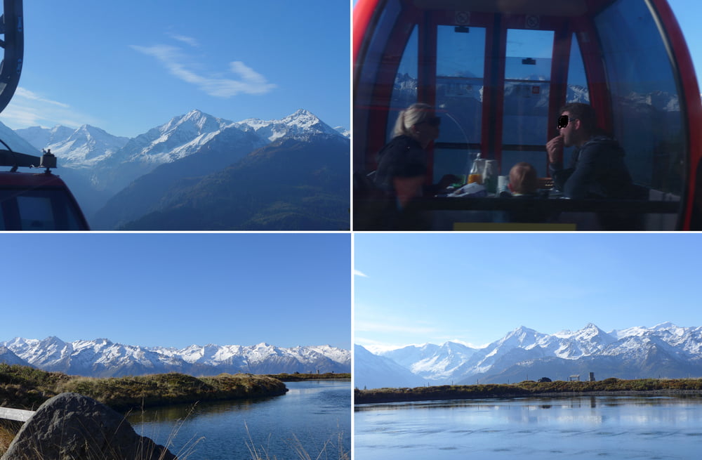
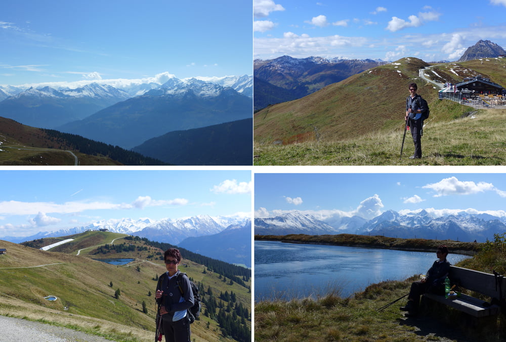
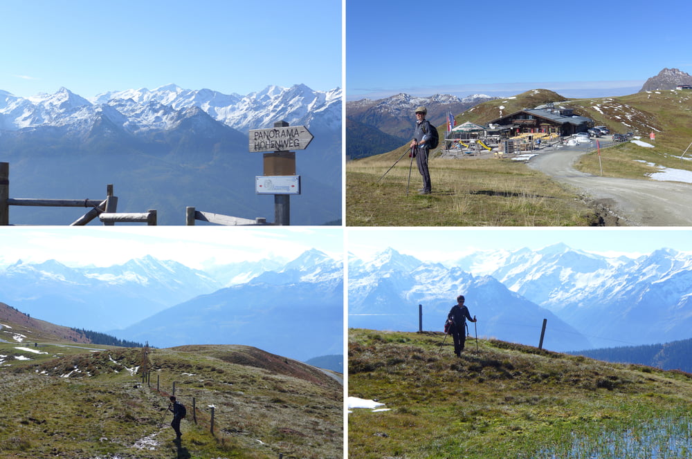
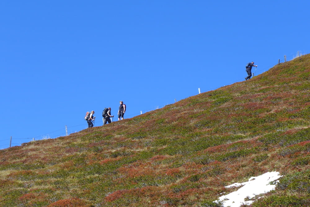
Wir nahmen zunächst die Kitzbüheler Panoramabahn um von der Mittelstation nahe dem Pass Thum zum Pinzgablick auf der Resterhöhe zu gelangen. Dann pilgerten wir über den Speicherteich Resterhöhe und die Panoramaalm gen Roßgruber Kogel. Der Aufstieg erwieß sich als matschig und rutschig. Zurück ging es über den Zweitausender. Man hat bei der Tour stets sehr schön die Hohen Tauern im Blick, wenn das Wetter passt. :-)
Übrigens, wir sind morgens mit dem Auto am Appartmenthaus Elisabeth gestartet. Man könnte auch den Bus 4010 von Kitbühel nach Mittersill nehmen oder gleich noch das Gondelfrühstück nutzen.
.
Further information at
https://www.kitzbuehel.com/Tour gallery
Tour map and elevation profile
Minimum height 1804 m
Maximum height 2107 m
More about the tour author
|
|
Saxoniaradler |
Comments

GPS tracks
Trackpoints-
GPX / Garmin Map Source (gpx) download
-
TCX / Garmin Training Center® (tcx) download
-
CRS / Garmin Training Center® (crs) download
-
Google Earth (kml) download
-
G7ToWin (g7t) download
-
TTQV (trk) download
-
Overlay (ovl) download
-
Fugawi (txt) download
-
Kompass (DAV) Track (tk) download
-
Track data sheet (pdf) download
-
Original file of the author (gpx) download
More about the tour author
|
|
Saxoniaradler |
Add to my favorites
Remove from my favorites
Edit tags
Open track
My score
Rate