


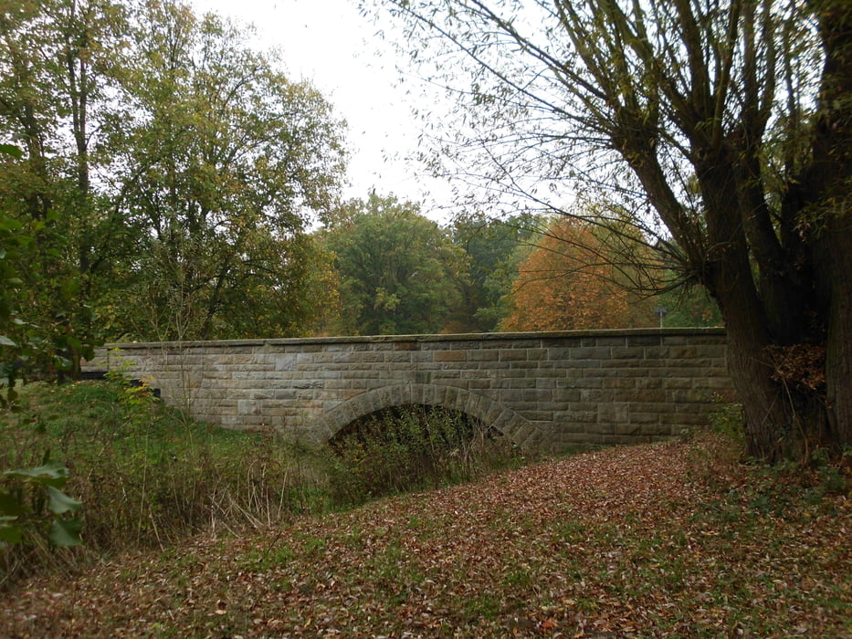
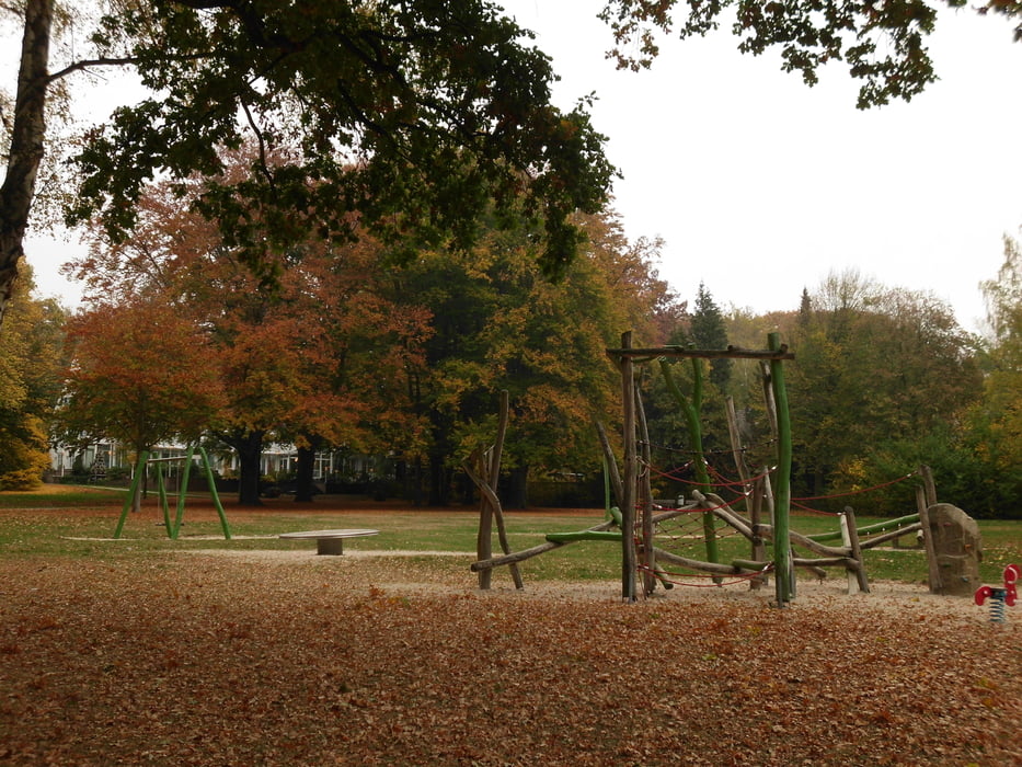
Vom Parkplatz am VW-Bad geht es in Richtung Hasselbach. Nach der Brücke gehen wir am Steimker Berg entlang. Unterhalb des Parkhotels ist ein schöner Spielplatz im Park. Weiter geht es in Richtung Nordsteimkerbach und zum Wald, im Wald zurück zum Hasselbach.
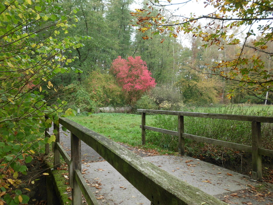
Am Bach entlang bis zum Tal. Dort genießen wir die schöne Aussicht.
Weiter geht es wieder Richtung Norden und dann zum Rabenberg. Hier geht es am Krummen Teich und Frauenteich entlang. Danach Richtung Köhlerberg und am Kleinen Schillerteich entlang.
Zurück am VW-Bad haben wir den Ausgangspunkt erreicht.
Hinweis: Einige Wege an den Teichen entlang sind eher Trampelpfade und sehr mit Wurzeln durchzogen. Bitte aufpassen! Stolpergefahr!
Tour gallery
Tour map and elevation profile
Minimum height 89 m
Maximum height 129 m
More about the tour author
|
|
Brattie |
Comments

Start ist der Parkplatz am VW-Bad.
Adresse: Berliner Ring 41, 38440 Wolfsburg
Ausreichend Parkplätze vorhanden ;.)
GPS tracks
Trackpoints-
GPX / Garmin Map Source (gpx) download
-
TCX / Garmin Training Center® (tcx) download
-
CRS / Garmin Training Center® (crs) download
-
Google Earth (kml) download
-
G7ToWin (g7t) download
-
TTQV (trk) download
-
Overlay (ovl) download
-
Fugawi (txt) download
-
Kompass (DAV) Track (tk) download
-
Track data sheet (pdf) download
-
Original file of the author (gpx) download
More about the tour author
|
|
Brattie |
Add to my favorites
Remove from my favorites
Edit tags
Open track
My score
Rate