


Die Tour hält sich in etwa an den Routenvorschlag T11 zum Rothsee der Schwabacher Tourismusexperten.
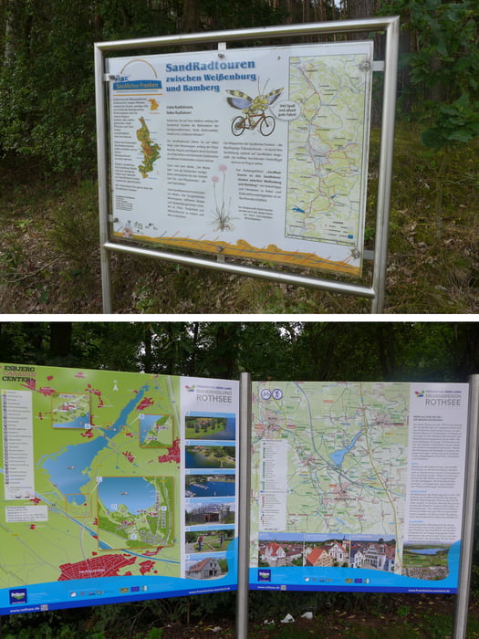
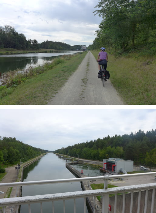
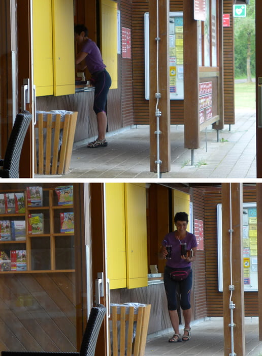
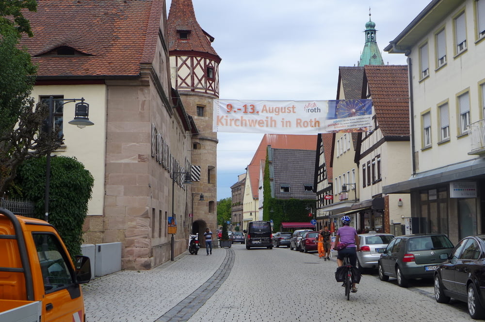
Wir starteten allerdings bei ALDI Süd in Limbach, haben wegen Baumaßnahmen etwas zu kämpfen um die A6 zu queren, beäugten noch die Sparschleuse Leerstätten des Main – Donau – Kanals, checkten zwischendurch bei Kaiserschmarrn im Regen im Strandhaus Grashof ein, machten eine Stadtrundfahrt und Shoppingeinlage in Roth und Schwabach, umrundeten das Technische Denkmal Eisenhammer Eckersmühlen, ...
Wir starteten allerdings bei ALDI Süd in Limbach, haben wegen Baumaßnahmen etwas zu kämpfen um die A6 zu queren, beäugten noch die Sparschleuse Leerstätten des Main – Donau – Kanals, checkten zwischendurch bei Kaiserschmarrn im Regen im Strandhaus Grashof ein, machten eine Stadtrundfahrt und Shoppingeinlage in Roth und Schwabach, umrundeten das Technische Denkmal Eisenhammer Eckersmühlen, ...
Further information at
http://www.freiberg-service.de/Tour gallery
Tour map and elevation profile
Minimum height 326 m
Maximum height 415 m
More about the tour author
|
|
Saxoniaradler |
Comments

GPS tracks
Trackpoints-
GPX / Garmin Map Source (gpx) download
-
TCX / Garmin Training Center® (tcx) download
-
CRS / Garmin Training Center® (crs) download
-
Google Earth (kml) download
-
G7ToWin (g7t) download
-
TTQV (trk) download
-
Overlay (ovl) download
-
Fugawi (txt) download
-
Kompass (DAV) Track (tk) download
-
Track data sheet (pdf) download
-
Original file of the author (gpx) download
More about the tour author
|
|
Saxoniaradler |
Add to my favorites
Remove from my favorites
Edit tags
Open track
My score
Rate