


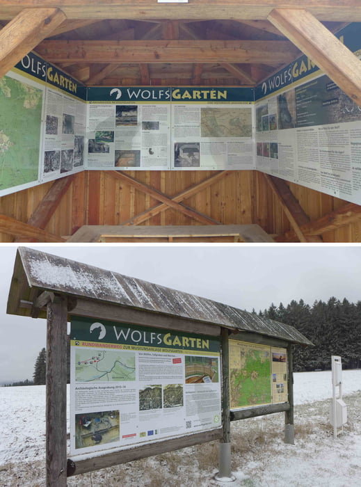
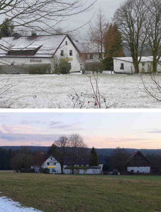
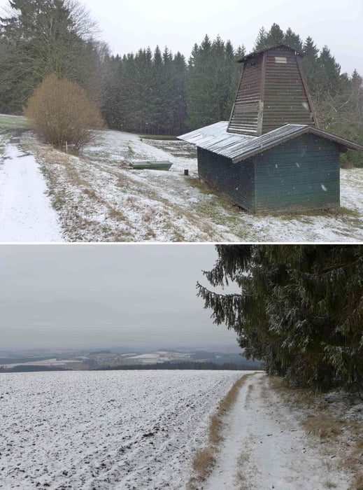
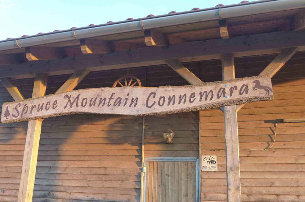
Diese kleine Wanderung macht zwei Runden um die Pension Höhenluft von Wülfersreuth zum Teil entlang des Panoramaweges bzw. der Panoramaloipe mit dem Wolfsgarten, der Spruce Mountain Connemara, dem Wülfersreuther Kräutergarten usw. usf..
Further information at
http://www.freiberg-service.de/Tour gallery
Tour map and elevation profile
Minimum height 630 m
Maximum height 713 m
More about the tour author
|
|
Saxoniaradler |
Comments

Wülfersreuth gehört zur Gemeinde Bischofsgrün und liegt südwestlich von Freiberg. ;-)
Camper sind eh pfiffig und finden den Weg allein.
GPS tracks
Trackpoints-
GPX / Garmin Map Source (gpx) download
-
TCX / Garmin Training Center® (tcx) download
-
CRS / Garmin Training Center® (crs) download
-
Google Earth (kml) download
-
G7ToWin (g7t) download
-
TTQV (trk) download
-
Overlay (ovl) download
-
Fugawi (txt) download
-
Kompass (DAV) Track (tk) download
-
Track data sheet (pdf) download
-
Original file of the author (gpx) download
More about the tour author
|
|
Saxoniaradler |
Add to my favorites
Remove from my favorites
Edit tags
Open track
My score
Rate