


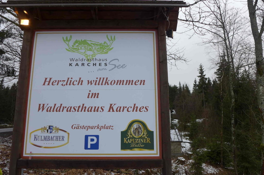
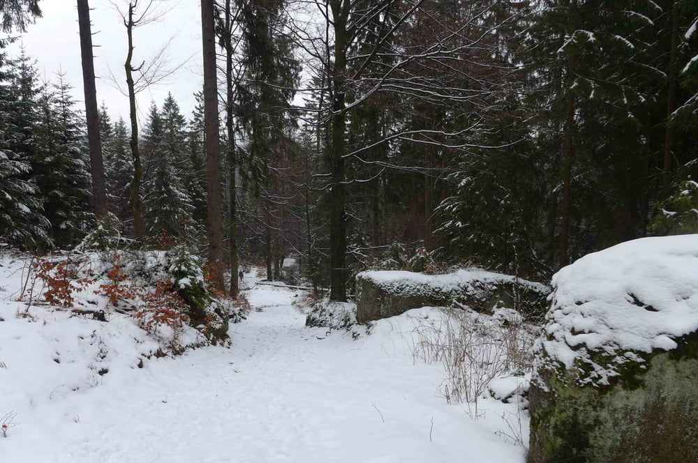
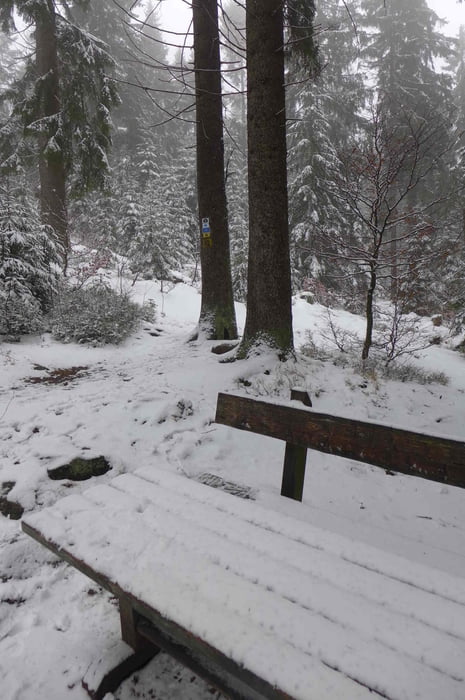
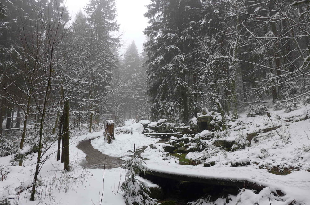
Dieser kleine Winterspaziergang geht vom Waldrasthaus Karches (mit kostenlosen Großparkplatz) ganz im Sinne der Romantik auf dem Jean Paul Weg, welcher dem Dichter Jean Paul Friedrich Richter gewidmet ist, hinauf gen Weißmainquelle. Wer unten seinen Bauch nicht zu voll geschlagen hat, der könnte sportlich bis auf den Ochsenkopf durchziehen.
Further information at
http://www.freiberg-service.de/Tour gallery
Tour map and elevation profile
Minimum height 742 m
Maximum height 895 m
More about the tour author
|
|
Saxoniaradler |
Comments

Bischofsgrün liegt mitten im Fichtelgebirge südwestlich von Freiberg. ;-)
Camper sind eh pfiffig und finden den Weg allein.
GPS tracks
Trackpoints-
GPX / Garmin Map Source (gpx) download
-
TCX / Garmin Training Center® (tcx) download
-
CRS / Garmin Training Center® (crs) download
-
Google Earth (kml) download
-
G7ToWin (g7t) download
-
TTQV (trk) download
-
Overlay (ovl) download
-
Fugawi (txt) download
-
Kompass (DAV) Track (tk) download
-
Track data sheet (pdf) download
-
Original file of the author (gpx) download
More about the tour author
|
|
Saxoniaradler |
Add to my favorites
Remove from my favorites
Edit tags
Open track
My score
Rate