


Östlicher Teil der Brunnen- und Quellenwanderung (https://www.lsw.de/aktuelles/veranstaltungen/):
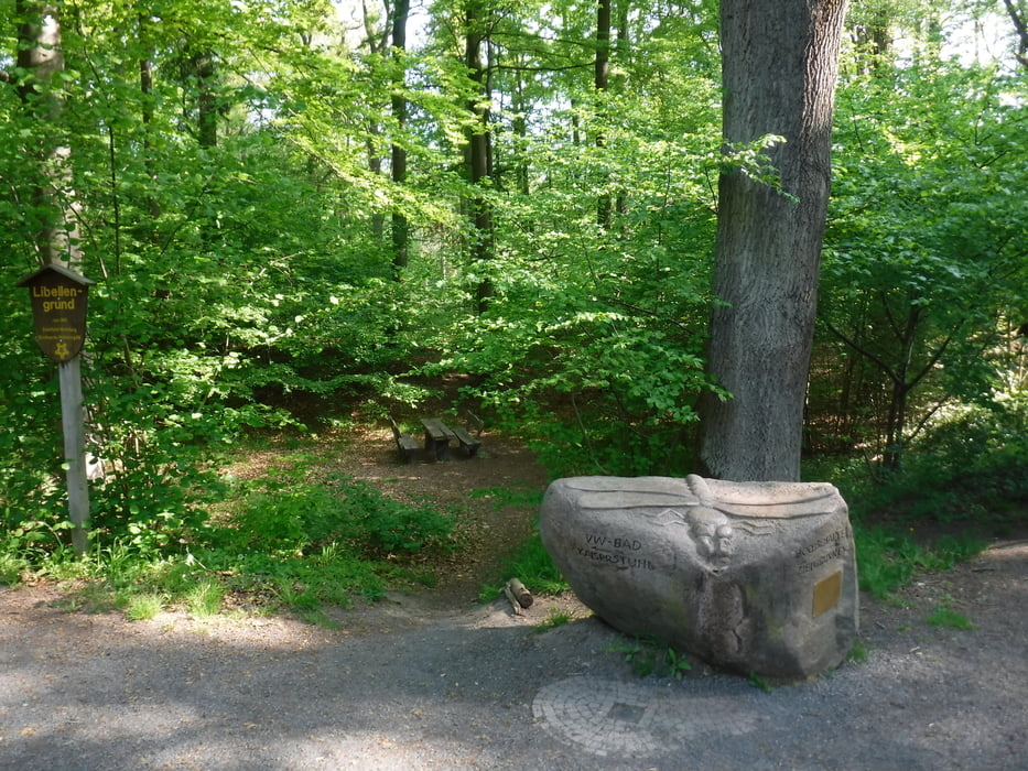
Wir starten am VW-Bad und gehen Richtung Hasselbach.
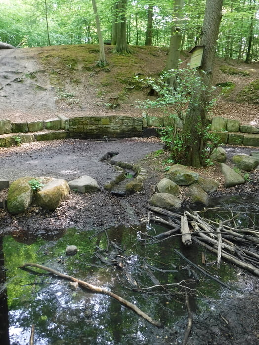
Im Wald durchqueren wir das Hasselbachtal und kommen am Ziehbrunnen an.
Auf dem Hauptweg gehen wir Richtung Westen bis zum Arboretum.
Danach weiter in Richtung Tommy-Quelle. Wir kommen am Erlengrund und dem Stemmelteich vorbei.
Am Rabenberg gehen wir am Waldrand weiter bis zum NEST (Naturerkundungsstation; https://www.wolfsburg.de/leben/umweltnaturschutz/naturerkundungsstation-nest).
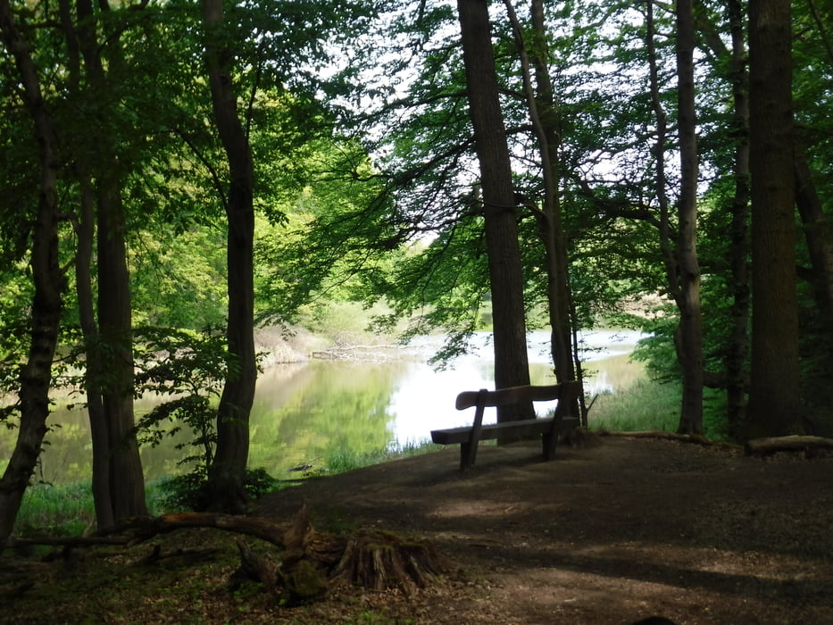
Dann geht es auf einem sehr schönen Weg am Krummen Teich vorbei, weiter zum Kleinen Schillerteich und zurück zum VW-Bad.
Tour gallery

Tour map and elevation profile
Minimum height 82 m
Maximum height 152 m
More about the tour author
|
|
Brattie |
Comments

Ausgangspunkt der Runde ist der Parkplatz am VW-Bad (Berliner Ring 41, 38440 Wolfsburg).
GPS tracks
Trackpoints-
GPX / Garmin Map Source (gpx) download
-
TCX / Garmin Training Center® (tcx) download
-
CRS / Garmin Training Center® (crs) download
-
Google Earth (kml) download
-
G7ToWin (g7t) download
-
TTQV (trk) download
-
Overlay (ovl) download
-
Fugawi (txt) download
-
Kompass (DAV) Track (tk) download
-
Track data sheet (pdf) download
-
Original file of the author (gpx) download
More about the tour author
|
|
Brattie |
Add to my favorites
Remove from my favorites
Edit tags
Open track
My score
Rate