Login

Forgot your login?

Cookies have to be accepted!
Your browser's cookie functionality is disabled. Please enable this functionality.

Not a member yet?

Register now
Login

Available for registred users only

Log in to use this feature.

Forgot your login?

Cookies have to be accepted!
Your browser's cookie functionality is disabled. Please enable this functionality.

Not a member yet?

Register now
Filter
Categories
Advanced filters
  • Distance (km)
  • Height
Save filters Reset filter

TrackRank

QRCode

Technical data

Distance5,8 km Height54 m Way down50 m Duration01:26 h:m Date30.06.2020
Scores Author Landscape Fun factor Fitness Technique

Statistics

164 Views Scores 3 Downloads Average
Rate
  • Track data sheet
  • Directions
  • Downloads
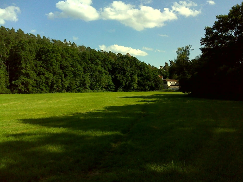
Die Runde startet bei ALDI Süd in Limbach bzw. beim Franky Getränkemarkt. Man könnte freilich auch direkt auf dem Hundegassiparkplatz an der Mündung der Schwabach in die Rednitz starten. Wir gehen auf schönen Pfaden und Wegen beidseits der Rednitz gen Rennmühle und Kappelbergsteig.

Further information at

http://www.freiberg-service.de/

Tour gallery

Tour map and elevation profile

  • Open Street Map
  • Google
Minimum height 310 m Maximum height 341 m Detailed view

More about the tour author

Saxoniaradler
Member since 2011

Send private message

Comments

Schwabach findet man südlich von Freiberg und Nürnberg. Dresden liegt viel tiefer im ruppigen Osten! Camper sind eh pfiffig und finden den Weg allein.

GPS tracks

Trackpoints
  • GPX / Garmin Map Source (gpx) download
  • TCX / Garmin Training Center® (tcx) download
  • CRS / Garmin Training Center® (crs) download
  • Google Earth (kml) download
  • G7ToWin (g7t) download
  • TTQV (trk) download
  • Overlay (ovl) download
  • Fugawi (txt) download
  • Kompass (DAV) Track (tk) download
  • Track data sheet (pdf) download
  • Original file of the author (gpx) download

More about the tour author

Saxoniaradler
Member since 2011

Send private message
Share track
Add to my favorites
Remove from my favorites
Edit tags
My score
Rate
Track: Limbacher Gassirunde um die Schwabachmündung
Type: Hiking
Distance: 5,8 km
Evaluated on:
Duration:
Day(s)
Hour(s)
Minute(s)
Score: Landscape Fun factor Fitness Technique