


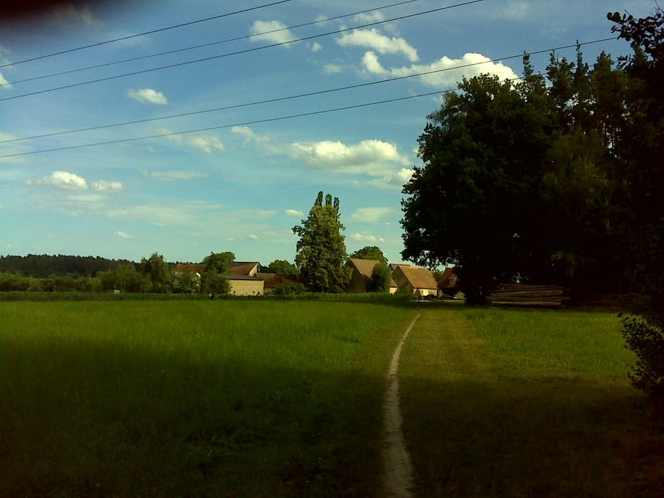
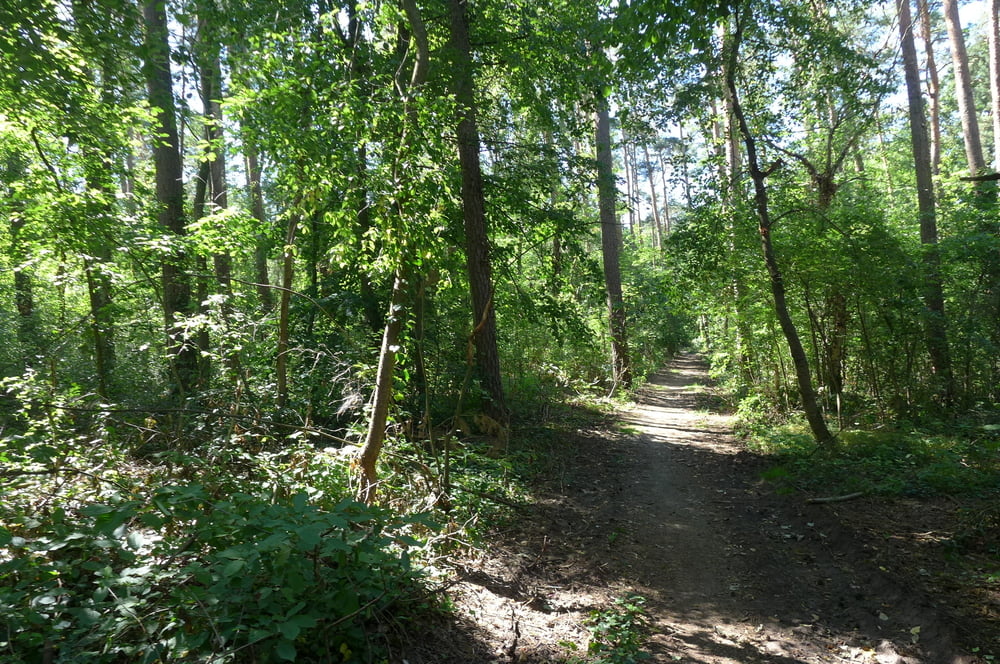
Die Runde ist eine kombinierte Gassiwanderung mit Hundefahhradhängeranfahrt und startet bei ALDI Süd in Limbach bzw. beim Franky Getränkemarkt. Es geht zunächst auf ruhigen Wegen in den Wald am Raubershof zwischen Eichwasen und Wolkersdorf. Fürs reine Radeln sind die Wege zum Teil recht holprig und fürs Spazieren sind die (Rad)wege um Nasbach etwas öde.
Das Cafe Beerenland auf der Rückfahrt gewährt Hunden leider keinen Zutritt. Es käme also nur Mexikaner in Frage!?
Das Cafe Beerenland auf der Rückfahrt gewährt Hunden leider keinen Zutritt. Es käme also nur Mexikaner in Frage!?
Further information at
http://www.freiberg-service.de/Tour gallery
Tour map and elevation profile
Minimum height 340 m
Maximum height 384 m
More about the tour author
|
|
Saxoniaradler |
Comments

GPS tracks
Trackpoints-
GPX / Garmin Map Source (gpx) download
-
TCX / Garmin Training Center® (tcx) download
-
CRS / Garmin Training Center® (crs) download
-
Google Earth (kml) download
-
G7ToWin (g7t) download
-
TTQV (trk) download
-
Overlay (ovl) download
-
Fugawi (txt) download
-
Kompass (DAV) Track (tk) download
-
Track data sheet (pdf) download
-
Original file of the author (gpx) download
More about the tour author
|
|
Saxoniaradler |
Add to my favorites
Remove from my favorites
Edit tags
Open track
My score
Rate