


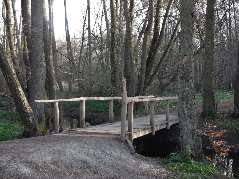
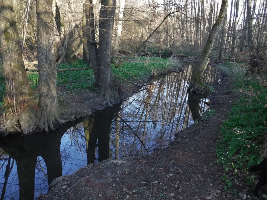
Heute mal eine etwas andere Runde im Hasselbachtal:
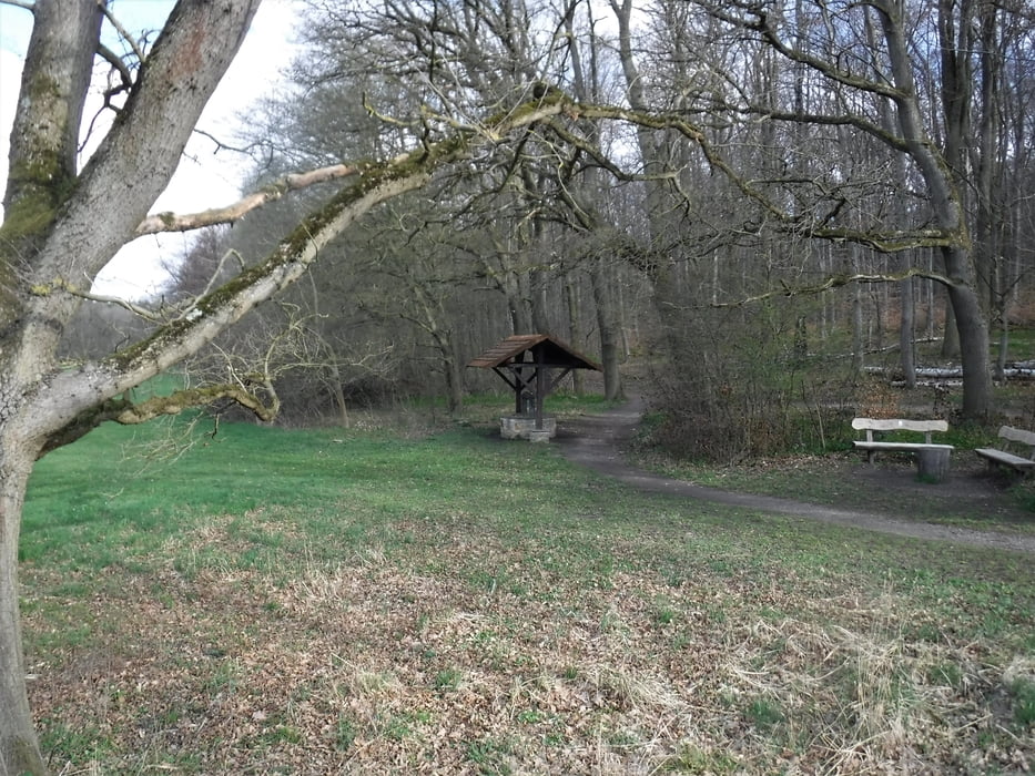
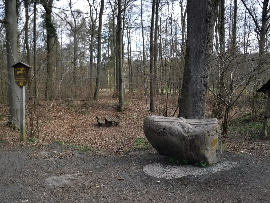
Erst in Richtung Märzenbecherwiese (die natürlich nur im Frühjahr so schön blühen), dann am Waldrand (Steimker Weg) bis zur Kreuzung nach Nordsteimke. Dort wieder in den Wald, am Ziehbrunnen (Flyer der LSW: https://www.lsw.de/fileadmin/user_upload/lsw-energie/aktuelles/veranstaltungen/Flyer_BuQ_2019.pdf) und dem Libellengrund vorbei. Und weiter zurück zu den Drei Steine, am VW-Bad vorbei bis zum Parkplatz.
Tour gallery
Tour map and elevation profile
Minimum height 65 m
Maximum height 165 m
More about the tour author
|
|
Brattie |
Comments

Ausgangspunkt der kleinen Wanderung ist der Parkplatz am VW-Bad.
GPS tracks
Trackpoints-
GPX / Garmin Map Source (gpx) download
-
TCX / Garmin Training Center® (tcx) download
-
CRS / Garmin Training Center® (crs) download
-
Google Earth (kml) download
-
G7ToWin (g7t) download
-
TTQV (trk) download
-
Overlay (ovl) download
-
Fugawi (txt) download
-
Kompass (DAV) Track (tk) download
-
Track data sheet (pdf) download
-
Original file of the author (gpx) download
More about the tour author
|
|
Brattie |
Add to my favorites
Remove from my favorites
Edit tags
Open track
My score
Rate