


Eine schöne kleine, abenteuerliche Tour im Naturschutzgebiet Rieseberg.
Motto "Der Weg ist das Ziel"!
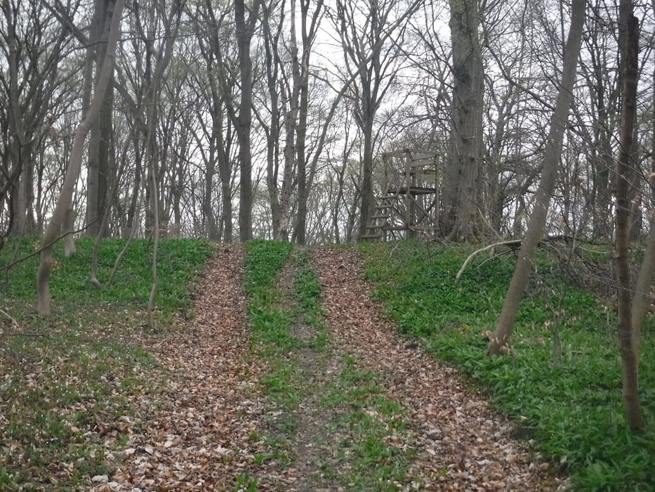
Die Wege sind meist nur Trampelpfade, auf denen man hintereinander gehen muss. Sie sind nicht für Kinderwagen, Rollstuhl, o.ä. geeignet. Festes Schuhwerk ist empfehlenswert. Da es vor unserer Tour einige Tage lang geregnet hat, waren auch ein paar Wege matschig.
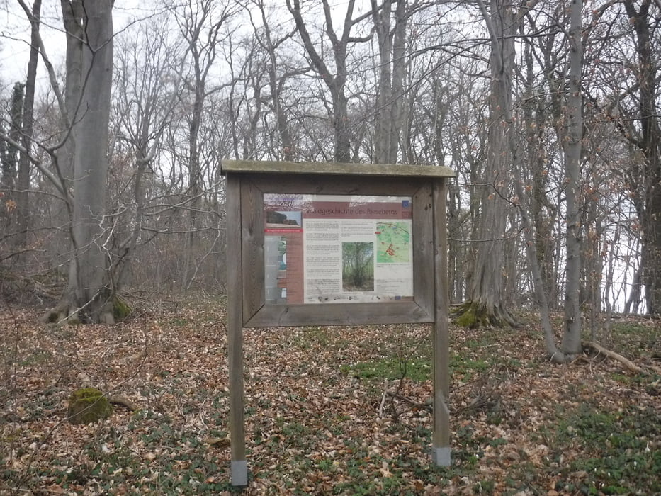
Im nordöstlichen Teil gibt es einige Hinweistafeln zum Erlebnispfad Rieseberg.
https://femo-online.jimdofree.com/pfade/rieseberg/info/
Leider hatte die App während der Tourenaufzeichnung wieder kleine Aussetzer. - Einfach dem Pfad weiter folgen. Ihr findet euren Weg! ;-)
Tour gallery
Tour map and elevation profile
Minimum height 50 m
Maximum height 232 m
More about the tour author
|
|
Brattie |
Comments

In Scheppau, ungefähr gegenüber des Freizeitheims (Straße: "Zum Rieseberg 1"), in die Straße nach Lauingen einbiegen. Nach ca. 200m biegt ein Feldweg nach links ab. Dort anhalten und parken.
GPS tracks
Trackpoints-
GPX / Garmin Map Source (gpx) download
-
TCX / Garmin Training Center® (tcx) download
-
CRS / Garmin Training Center® (crs) download
-
Google Earth (kml) download
-
G7ToWin (g7t) download
-
TTQV (trk) download
-
Overlay (ovl) download
-
Fugawi (txt) download
-
Kompass (DAV) Track (tk) download
-
Track data sheet (pdf) download
-
Original file of the author (gpx) download
More about the tour author
|
|
Brattie |
Add to my favorites
Remove from my favorites
Edit tags
Open track
My score
Rate