


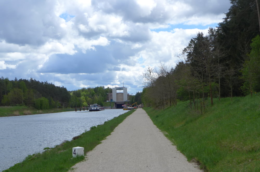
Die Tour ist eine bequeme Trödelei von Limbach aus am Main – Donau – Kanal entlang. Allerdings sind die Rastplätze bei Ausflugswetter knapp, da recht dünn gesät. Man muss sich halt entsprechend ausstatten zumal in den Zeiten der Coronadiktatur, die naive Typen wohl mit dem Namen „Bundesnotbremse“ bemänteln, auch die Gasstätte "Zum Rednitzgrund" in Katzwang zwangsgeschlossen ist.
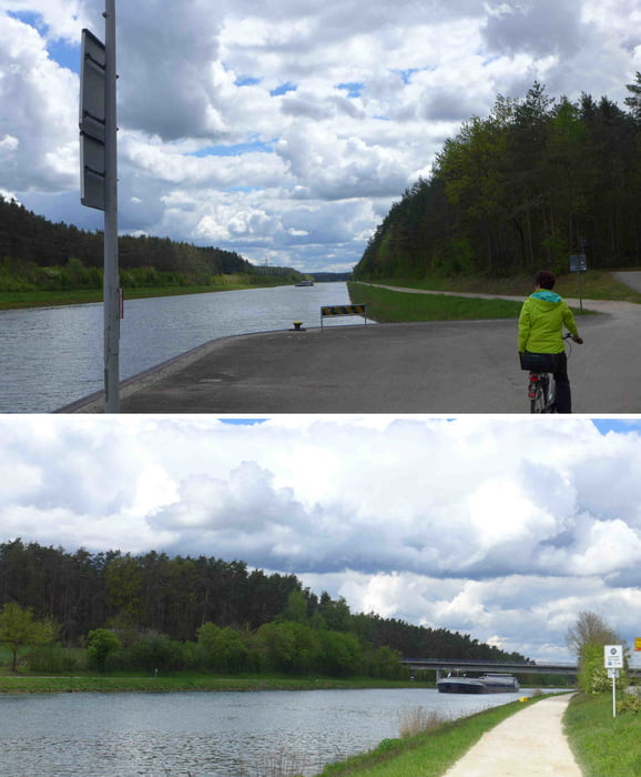
Auf dem Kanal ist, Angies Klimapolitik sei Dank, extrem wenig Schiffsvekehr. Der Treibstoff der Schiffe kommt halt nicht aus den so „umweltfeundlichen“ Li-Ionen Akkus!
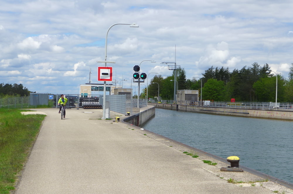
Die Schleuse Leerstetten regelt fast nur noch den Wasserfluss. :-(
Die Runde startete übrigens bei ALDI Süd in Limbach bzw. beim Franky Getränkemarkt.
Further information at
http://www.freiberg-service.de/Tour gallery

Tour map and elevation profile
Minimum height 314 m
Maximum height 372 m
More about the tour author
|
|
Saxoniaradler |
Comments

GPS tracks
Trackpoints-
GPX / Garmin Map Source (gpx) download
-
TCX / Garmin Training Center® (tcx) download
-
CRS / Garmin Training Center® (crs) download
-
Google Earth (kml) download
-
G7ToWin (g7t) download
-
TTQV (trk) download
-
Overlay (ovl) download
-
Fugawi (txt) download
-
Kompass (DAV) Track (tk) download
-
Track data sheet (pdf) download
-
Original file of the author (gpx) download
More about the tour author
|
|
Saxoniaradler |
Add to my favorites
Remove from my favorites
Edit tags
Open track
My score
Rate