


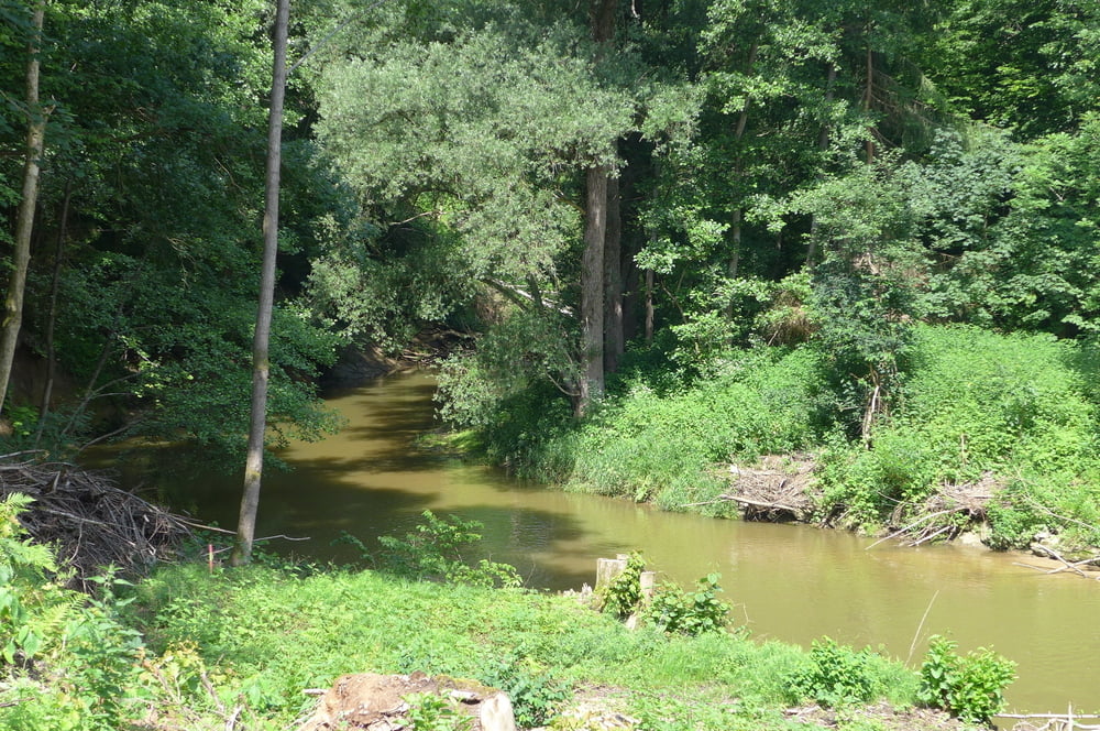
Die Tour nimmt gegenüber unserer Originalvariante von annodazumal auf dem Rückweg etwas Wald für die Heidelbeerernte oder fürs Pilzesuchen mit. Wir starten allerings wieder auf dem kostenlosen Wanderparkplatz nahe den St. Wolfgang Stuben. Einkehren wäre folglich dort oder mittendrin in der Waldschänke Brückkanal möglich, Einsam und romantisch ist das Tal der Schwarzach. Eher mondän geht es längs des Ludwig Donau Main Kanals zu. Der Wald ist typisch fränkisch (Kiefern, Eichen …). Die Unterquerung der Autobahnen A73 und A9 und der ICE Strecke Nürnberg – Ingolstadt ist leicht sportlich zu bewältigen.
Further information at
https://www.freiberg.de/Tour gallery
Tour map and elevation profile
Minimum height 351 m
Maximum height 372 m
More about the tour author
|
|
Saxoniaradler |
Comments

Wendelstein bzw. Schwabach liegen in der bayerischen Kolonie Franken und stehen unter Herrschaft des Imperators.
GPS tracks
Trackpoints-
GPX / Garmin Map Source (gpx) download
-
TCX / Garmin Training Center® (tcx) download
-
CRS / Garmin Training Center® (crs) download
-
Google Earth (kml) download
-
G7ToWin (g7t) download
-
TTQV (trk) download
-
Overlay (ovl) download
-
Fugawi (txt) download
-
Kompass (DAV) Track (tk) download
-
Track data sheet (pdf) download
-
Original file of the author (gpx) download
More about the tour author
|
|
Saxoniaradler |
Add to my favorites
Remove from my favorites
Edit tags
Open track
My score
Rate