


Die Wanderung sucht die Ruhe im Erzgebirge fernab der Corona - Hysterie.
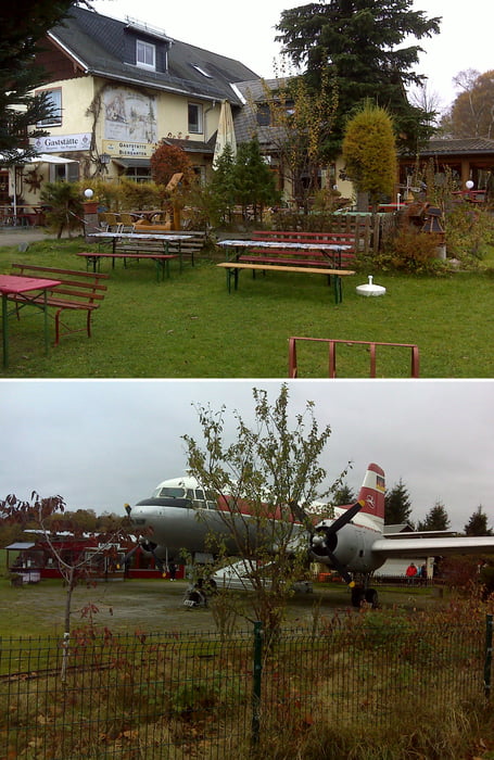
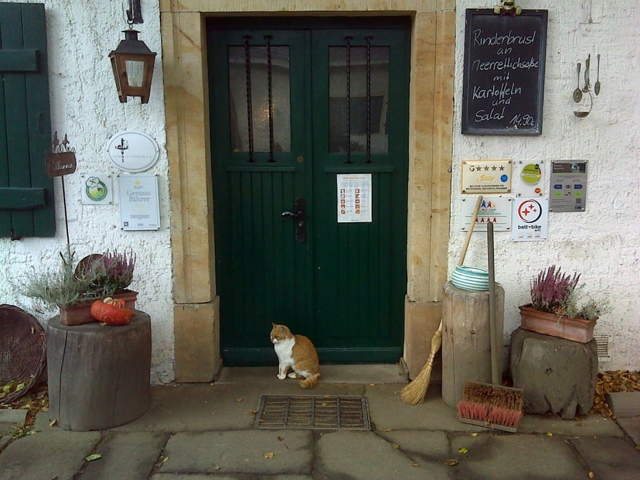
Wir starteten auf dem Parkplatz an der Kreuztanne von Sayda. Dort sahen wir auch das einzige Mal vermummte Corona - Terroristen herumlaufen. Kretschmers Schergen dringen in diese entlegene Ecke wohl kaum vor. Einkehren könnte man je nach dem noch im Gasthaus Am Flugzeug oder im Kleinen Vorwerk.
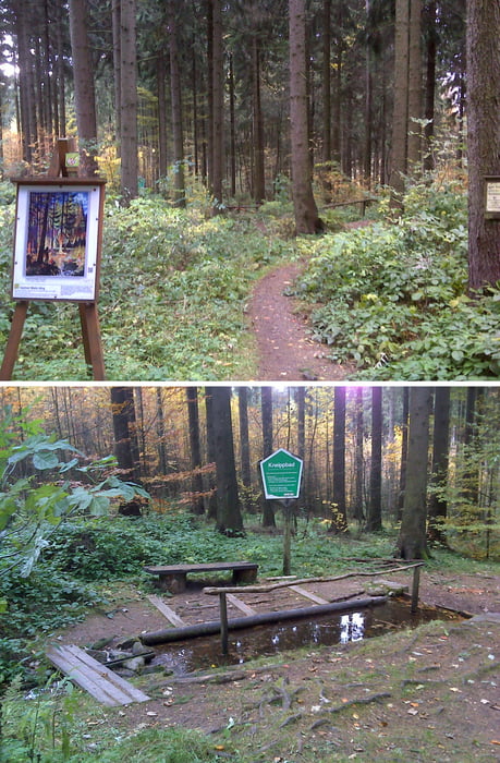
Die Tour streift zudem ab und an den Saydaer Malerweg.
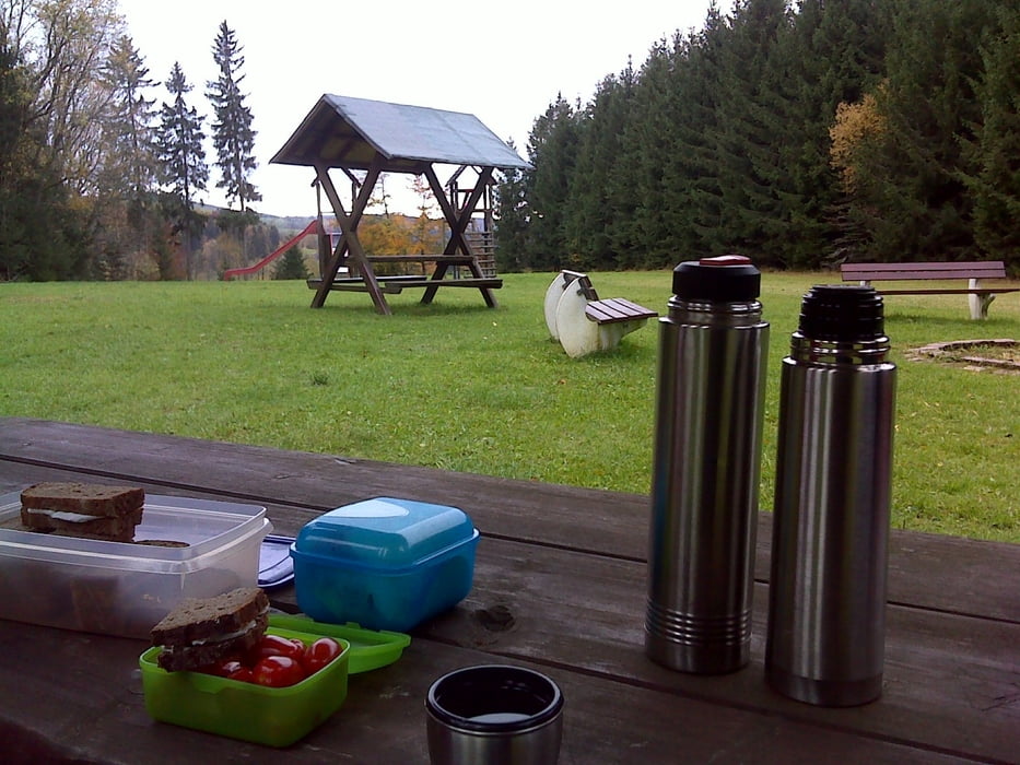
Es gibt neben Landschaft, Kneipen und Kultur aber auch noch genügend viele schöne Rastplätze am Wegesrand. Wir hatten am Waldsportplatz zu Cämmerswalde und am Langlaufzentrum zu Sayda eine Rast eingelegt.
Further information at
https://www.freiberg.de/Tour gallery
Tour map and elevation profile
Minimum height 557 m
Maximum height 712 m
More about the tour author
|
|
Saxoniaradler |
Comments

GPS tracks
Trackpoints-
GPX / Garmin Map Source (gpx) download
-
TCX / Garmin Training Center® (tcx) download
-
CRS / Garmin Training Center® (crs) download
-
Google Earth (kml) download
-
G7ToWin (g7t) download
-
TTQV (trk) download
-
Overlay (ovl) download
-
Fugawi (txt) download
-
Kompass (DAV) Track (tk) download
-
Track data sheet (pdf) download
-
Original file of the author (gpx) download
More about the tour author
|
|
Saxoniaradler |
Add to my favorites
Remove from my favorites
Edit tags
Open track
My score
Rate