


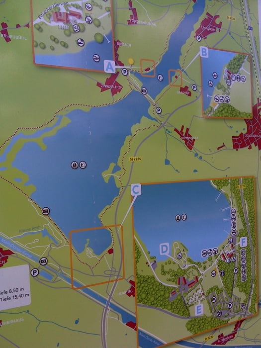
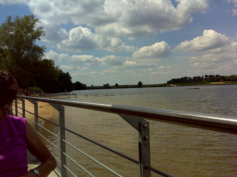
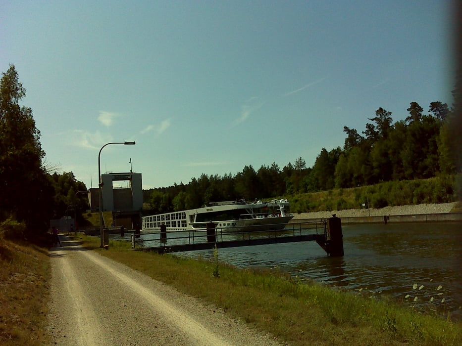
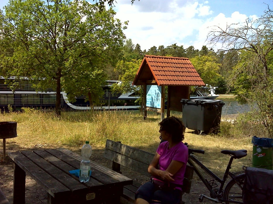
Entlang von Kanälen zu radeln liegt im Trend; ist aber eigentlich öde und ermüdend. Wir haben es trotzdem ausnahmsweise einmal entlang des Main-Donau-Kanales von Limbach gen Rothsee versucht. Eingekehrt sind wir zwischendurch im Strandhaus Grashof.
Die Räder stauben (kalken) freilich ordentlich ein, so dass sich der Besuch einer Waschanlage hinterher wahrlich lohnt!!
Start war übrigens bei ALDI Süd in Limbach.
Die Räder stauben (kalken) freilich ordentlich ein, so dass sich der Besuch einer Waschanlage hinterher wahrlich lohnt!!
Start war übrigens bei ALDI Süd in Limbach.
Further information at
https://t.me/FreedomdayteamTour gallery
Tour map and elevation profile
Minimum height 309 m
Maximum height 393 m
More about the tour author
|
|
Saxoniaradler |
Comments

Limbach bzw. Schwabach liegen in der bayerischen Kolonie Franken und stehen unter Herrschaft des Imperators.
GPS tracks
Trackpoints-
GPX / Garmin Map Source (gpx) download
-
TCX / Garmin Training Center® (tcx) download
-
CRS / Garmin Training Center® (crs) download
-
Google Earth (kml) download
-
G7ToWin (g7t) download
-
TTQV (trk) download
-
Overlay (ovl) download
-
Fugawi (txt) download
-
Kompass (DAV) Track (tk) download
-
Track data sheet (pdf) download
-
Original file of the author (gpx) download
More about the tour author
|
|
Saxoniaradler |
Add to my favorites
Remove from my favorites
Edit tags
Open track
My score
Rate