


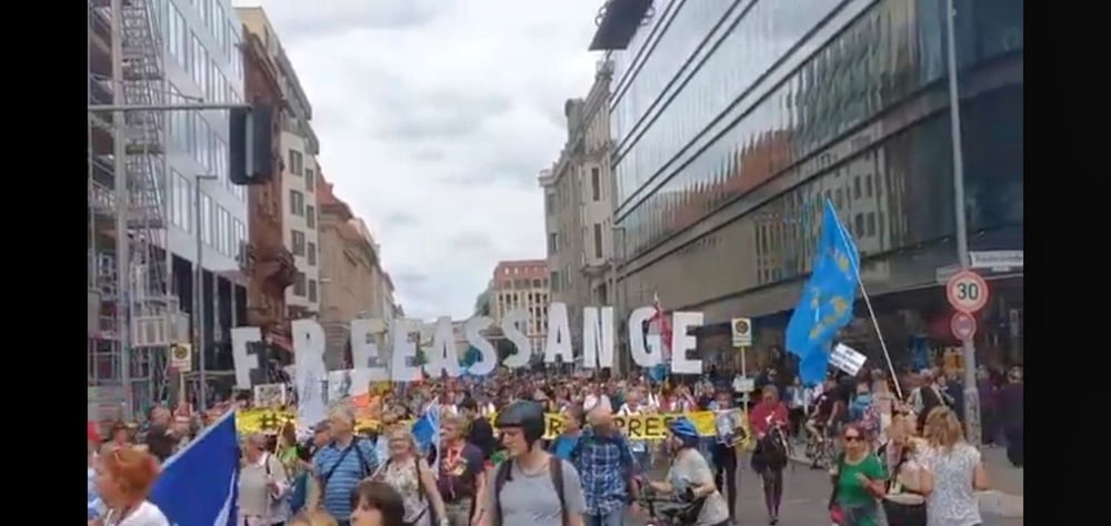
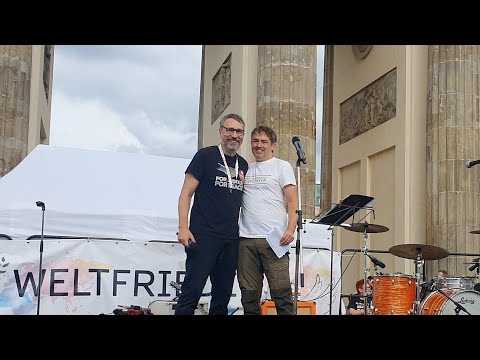
Der Mainstream in Deutschland ist auf Krieg gebürstet. Um so wichtiger ist es Stadtspaziergänge mit Engagements für den Frieden zu verbinden. Am 5. August 2023 bot sich dazu eine vorzügliche Gelegenheit. Alle Größen des deutschen Widerstandes waren dabei (Demokratischer Widerstand, Christiane Reymann, Ken Jebsen, Michael Ballweg, Yann Song King, Captain Future, Björn Banane .. … )
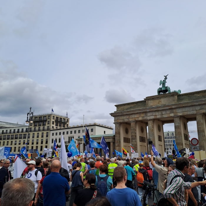
Berlin ist noch intakt und mit Touris übervoll. Das kann sich schnell ändern, wenn die Schafe weiter trotteln … ….!!!
Berlin ist noch intakt und mit Touris übervoll. Das kann sich schnell ändern, wenn die Schafe weiter trotteln … ….!!!
Further information at
https://t.me/FreedomdayteamTour gallery
Tour map and elevation profile
Minimum height 40 m
Maximum height 55 m
More about the tour author
|
|
Saxoniaradler |
Comments

Die Schaltzentrale des Imperialismus ist fern. Aber die A13 (Dresden), die A9 (München), die A2 (Hannover), die A24 (Hamburg), die A12 (Frankfurt/Oder) und die A11 (Stettin) sind nah.
GPS tracks
Trackpoints-
GPX / Garmin Map Source (gpx) download
-
TCX / Garmin Training Center® (tcx) download
-
CRS / Garmin Training Center® (crs) download
-
Google Earth (kml) download
-
G7ToWin (g7t) download
-
TTQV (trk) download
-
Overlay (ovl) download
-
Fugawi (txt) download
-
Kompass (DAV) Track (tk) download
-
Track data sheet (pdf) download
-
Original file of the author (gpx) download
More about the tour author
|
|
Saxoniaradler |
Add to my favorites
Remove from my favorites
Edit tags
Open track
My score
Rate