


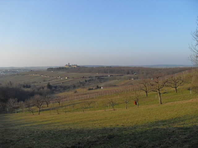
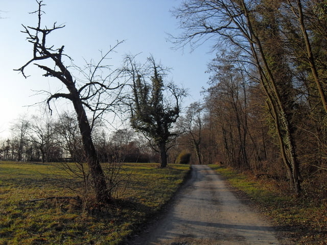
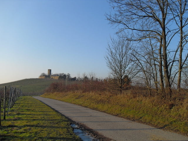
Panoramaweg rund um Sulzfeld. Ausgangspunkt der ist der Sulzfelder Bahnhof. Der Panoramaweg kann auch nur abschnittsweise zurückgelegt und die Strecke an verschiedenen Stellen verkürzt werden. Die Wanderstrecke umfasst 18 km und ist vor Ort mit einem grünen Punkt gekennzeichnet. Der Örtliche Wanderclub Ravensburg hat den attraktiven Rundweg gut sichtbar das ganze Jahr ausgeschildert.
Further information at
http://www.sulzfeld.de/Tour gallery

Tour map and elevation profile
Minimum height 186 m
Maximum height 339 m
More about the tour author
|
|
Stefan68 |
Comments

Sulzfeld ist an die Kraichgaubahn (Karlsruhe - Heilbronn) angebunden, auf der die Stadtbahnlinie S4 im Karlsruher Verkehrsverbund fährt. Die Gemeinde liegt weiter an der Bundesstraße 293 (Heilbronn - Pfinztal). Direkte Nachbargemeinden und durch Landstraßen mit Sulzfeld verbunden sind Kürnbach, Zaisenhausen und Mühlbach.
GPS tracks
Trackpoints-
GPX / Garmin Map Source (gpx) download
-
TCX / Garmin Training Center® (tcx) download
-
CRS / Garmin Training Center® (crs) download
-
Google Earth (kml) download
-
G7ToWin (g7t) download
-
TTQV (trk) download
-
Overlay (ovl) download
-
Fugawi (txt) download
-
Kompass (DAV) Track (tk) download
-
Track data sheet (pdf) download
-
Original file of the author (gpx) download
More about the tour author
|
|
Stefan68 |
Add to my favorites
Remove from my favorites
Edit tags
Open track
My score
Rate