
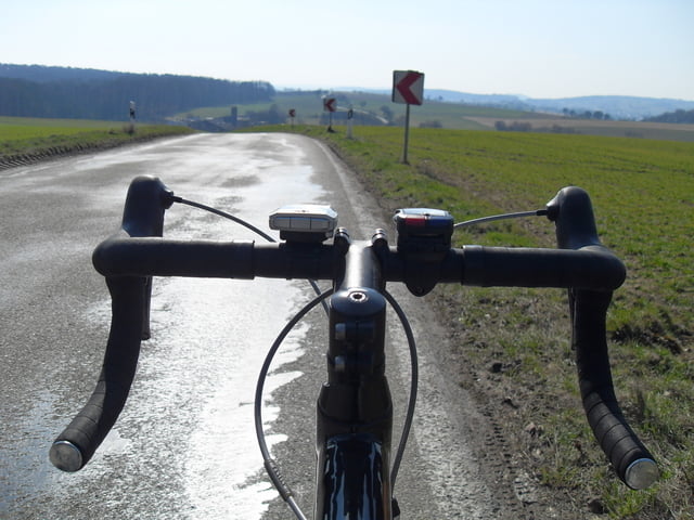

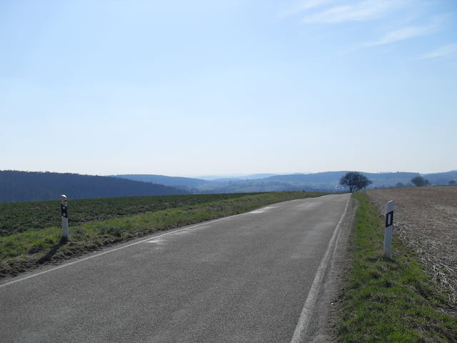
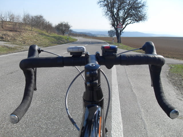
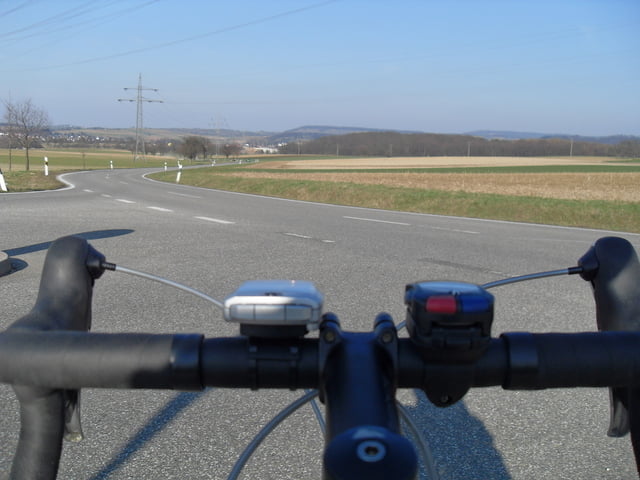
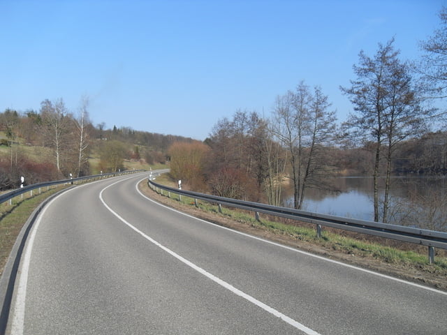
Schöne abwechslungsreiche Trainingsrunde mit dem Rennrad,
mit Blick in den Nordschwarzwald, Kraichgau, Stromberg und den Naturpark PfälzerwaldFurther information at
http://www.rsv-sulzfeld.deTour gallery
Tour map and elevation profile
Minimum height 154 m
Maximum height 344 m
More about the tour author
|
|
Stefan68 |
Comments

Sulzfeld ist an die Kraichgaubahn (Karlsruhe - Heilbronn) angebunden, auf der die Stadtbahnlinie S4 im Karlsruher Verkehrsverbund fährt. Die Gemeinde liegt weiter an der Bundesstraße 293 (Heilbronn - Pfinztal). Direkte Nachbargemeinden und durch Landstraßen mit Sulzfeld verbunden sind Kürnbach, Zaisenhausen und Mühlbach.
GPS tracks
Trackpoints-
GPX / Garmin Map Source (gpx) download
-
TCX / Garmin Training Center® (tcx) download
-
CRS / Garmin Training Center® (crs) download
-
Google Earth (kml) download
-
G7ToWin (g7t) download
-
TTQV (trk) download
-
Overlay (ovl) download
-
Fugawi (txt) download
-
Kompass (DAV) Track (tk) download
-
Track data sheet (pdf) download
-
Original file of the author (gpx) download
More about the tour author
|
|
Stefan68 |
Add to my favorites
Remove from my favorites
Edit tags
Open track
My score
Rate