Login

Forgotten password?

Cookies have to be accepted!
Your browser's cookie functionality is disabled. Please enable this functionality.

Not a member yet?

Register now
Login

Available for registred users only

Log in to use this feature.

Forgotten password?

Cookies have to be accepted!
Your browser's cookie functionality is disabled. Please enable this functionality.

Not a member yet?

Register now
Filter
Categories
Advanced filters
  • Distance (km)
  • Height
Save filters Reset filter

TrackRank

QRCode

Technical data

Distance57,4 km Height408 m Way down411 m Duration03:00 h:m Date24.08.2009
Scores Author Landscape Fun factor Fitness Technique

Statistics

719 Views Scores 31 Downloads Average
Rate
  • Track data sheet
  • Directions
  • Downloads
Zanimiva spomladanska tura za nabiranje kondicije. Spust iz Turjaka je po novem asfaltiran in je primeren tudi za cestna kolesa drugače pa tura poteka po gozdnih območjih in na koncu po Barju. Če po Barju ne želite voziti po makadamu obstaja možnost izbire alternativnih poti po asfaltu.

Further information at

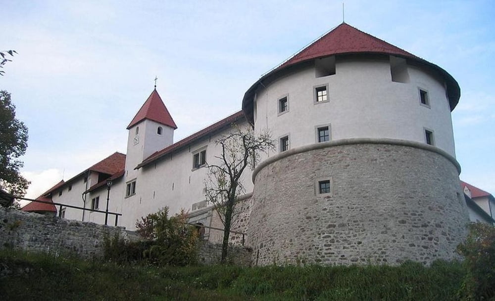
http://sl.wikipedia.org/wiki/Grad_Turjak

Tour gallery

Tour map and elevation profile

  • Open Street Map
  • Google
Minimum height 284 m Maximum height 568 m Detailed view

More about the tour author

BicikloGPS
Member since 2009

Send private message

Comments

Start je pri gostilni Livada, kjer se lahko parkira avto.

GPS tracks

Trackpoints
  • GPX / Garmin Map Source (gpx) download
  • TCX / Garmin Training Center® (tcx) download
  • CRS / Garmin Training Center® (crs) download
  • Google Earth (kml) download
  • G7ToWin (g7t) download
  • TTQV (trk) download
  • Overlay (ovl) download
  • Fugawi (txt) download
  • Kompass (DAV) Track (tk) download
  • Track data sheet (pdf) download
  • Original file of the author (gpx) download

More about the tour author

BicikloGPS
Member since 2009

Send private message
Share track
Add to my favorites
Remove from my favorites
Edit tags
My score
Rate
Track: Ljubljana-Šmarje Sap-Turjak-Ig-Ljubljana
Type: Trekkingbike
Distance: 57,4 km
Evaluated on:
Duration:
Day(s)
Hour(s)
Minute(s)
Score: Landscape Fun factor Fitness Technique